- Nettilling Lake
-
Nettilling Lake 
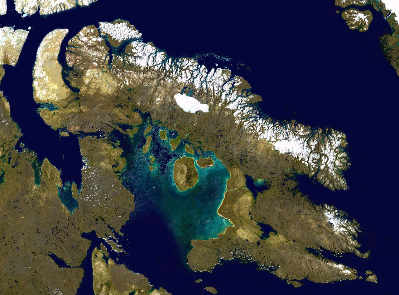
Nettilling Lake is in the southern part of the island, being the upper of the two visible lakes. The lower lake is Amadjuak Lake. Location Baffin Island, Nunavut Territory Coordinates 66°30′N 70°50′W / 66.5°N 70.833°WCoordinates: 66°30′N 70°50′W / 66.5°N 70.833°W Primary inflows Amadjuak Lake Primary outflows Koukdjuak River Basin countries Canada Max. length 123 km (76 mi) Surface area 5,066 km2 (1,956 sq mi) Max. depth 132 m (433 ft) Surface elevation 30 m (98 ft) 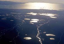 Great Koukdjuak Plains and Nettilling Lake (2002)
Nettilling Lake [nech'iling] is a cold freshwater lake located toward the south end of Baffin Island, Nunavut, Canada. It is also the world's largest lake on an island, with an area of 5,542 km2 and a maximum length of 123 km.[1] The lake is in the Great Plain of the Koukdjuak about 280 km northwest of Iqaluit. The Arctic Circle crosses the lake. The lake's name is of Inuktitut origin, coming from the word for the adult ringed seal (netsilak). Franz Boas explored its southern shore in 1883.
Nettilling is the largest lake in Nunavut. It is fed by the second largest lake on Baffin Island, Amadjuak Lake and several other smaller lakes and streams. It empties west via the very shallow Koukdjuak River into Foxe Basin. The eastern half has many small islands and the western half is deeper with no islands. The lake is frozen for most of the year. Ringed Seals live in the lake and only three species of fish have been recorded there: the Arctic char as well as the ninespine and threespine stickleback. The tundra around the lake and south to Amadjuak Lake is important for Barren-ground Caribou feeding and calving.
Nettilling Lake is the eleventh largest in Canada, being one of the largest lakes entirely within Canada.
Sources
- Thecanadianencyclopedia.com
- Columbia Electronic Encyclopedi entry
- Canada's Polar Environments, Nettilling Lake and Amadjuak Lake
External links
Lakes of Nunavut Kitikmeot Region Kivalliq Region Qikiqtaaluk Region Categories:- Lakes of Qikiqtaaluk Region
- Baffin Island

Wikimedia Foundation. 2010.