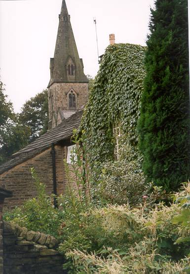
- Old Glossop
-
Coordinates: 53°26′N 1°57′W / 53.44°N 1.95°W
Old Glossop 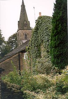
 Old Glossop
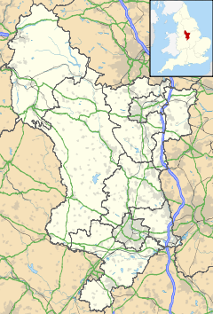
Old Glossop shown within DerbyshireOS grid reference SK0393 District High Peak Shire county Derbyshire Region East Midlands Country England Sovereign state United Kingdom Post town GLOSSOP Postcode district SK13 Dialling code 01457 Police Derbyshire Fire Derbyshire Ambulance North West EU Parliament East Midlands UK Parliament High Peak List of places: UK • England • Derbyshire Old Glossop is a parish village and the original part of the town of Glossop in the High Peak area of Derbyshire, England, about 15 miles east of Manchester and 23 miles from Sheffield. The village is on the very edge of the Peak District national park.
Although High Peak Borough Council has now called a large area of Glossop, "Old Glossop" for political ward reasons, the original parish boundaries mean the area has a population of about 1,100.
At the beginning of the 1900s the village had eight pubs, but there are now only three remaining: The Bulls Head, The Wheatsheaf and The Queens Hotel. In addition, a microbrewery, Howard Town Brewery, is located in Old Glossop.
External links
Categories:- Villages in Derbyshire
- Towns and villages of the Peak District
- Derbyshire geography stubs

Wikimedia Foundation. 2010.