- Croydon Park, South Australia
-
Croydon Park
Adelaide, South Australia
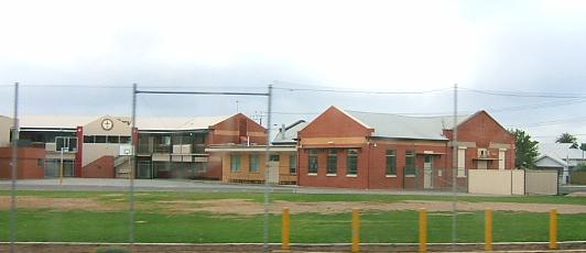
St Margaret Mary's Primary School on Torrens RoadPostcode: 5008 LGA: City of Port Adelaide Enfield Croydon Park is a north-western suburb of Adelaide 7km from the CBD, in the state of South Australia, Australia and is within the City of Port Adelaide Enfield. It is adjacent to Dudley Park, Devon Park, Renown Park, Regency Park, Ferryden Park Kilkenny, and West Croydon. The post code for Croydon Park is 5008. It is bounded to the south by Lamont Street and Torrens Road, to the north by Regency Road and in the east and west by Harrison Road and Goodall Avenue respectively. Croydon Park is predominantly a residential suburb, with a warehousing presence on the northern edges near Regency Road.
Facilities
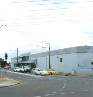
The suburb is not served by a public primary school. Croydon Park Primary School was closed at the end of 1997 due to declining enrolments. The former site at Hudson Avenue was later developed into housing. The closest primary schools are Challa Gardens Primary School, to the west in Kilkenny, or Brompton Primary School in Brompton. However, St. Margaret Mary's, a Catholic primary school operates within the suburb. The local high school was Croydon High School (closed 2007), in adjacent West Croydon. The Douglas Mawson Institute of TAFE is located on the western end of the suburb. Polonia Reserve, the base of a State League football (soccer) team is located on the eastern side of Croydon Park.
History
The Croydon Park area was originally a post war returned soldier housing estate. It subsequently attracted waves of European immigration. Over time, the children of these immigrants have largely vacated the area, leaving a relatively elderly population. This is reflected in the declining enrolment rates at nearby schools, with Croydon Park Primary School and Croydon Primary School in the nearby suburb of Croydon, both being closed at the end of 1997.
Transport
 Days Road
The 300, 230, 231 and 232 routes serve Regency Road. The 230 and 232 also serve Pym Street and Days and Harrison Roads, while the 231 also serves South Road. The 250, 251, 252, 253 and 254 serve Torrens Road. All of the bus routes except 300 travel between the city and Centro Arndale.
Coordinates: 34°53′10″S 138°34′01″E / 34.886°S 138.567°E
Suburbs of the City of Port Adelaide Enfield Alberton · Angle Park · Birkenhead · Blair Athol · Broadview · Clearview · Croydon Park · Dernancourt · Devon Park · Dry Creek · Dudley Park · Enfield · Ethelton · Exeter · Ferryden Park · Gepps Cross · Gilles Plains · Gillman · Glanville · Greenacres · Hampstead Gardens · Hillcrest · Holden Hill · Kilburn · Klemzig · Largs Bay · Largs North · Manningham · Mansfield Park · Northfield · Northgate · North Haven · Oakden · Osborne · Ottoway · Outer Harbor · Peterhead · Port Adelaide · Queenstown · Regency Park · Rosewater · Sefton Park · Semaphore · Semaphore South · Taperoo · Valley View · Walkley Heights · Windsor Gardens · Wingfield · Woodville GardensCategories:- Suburbs of Adelaide

Wikimedia Foundation. 2010.