- Northgate, South Australia
-
Northgate
Adelaide, South Australia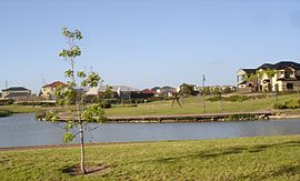
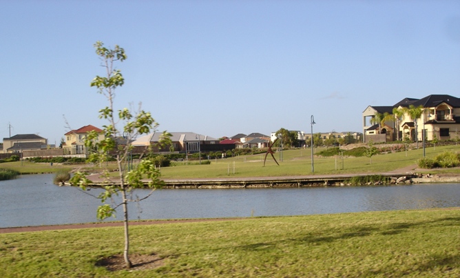
Established: 1998 Postcode: 5085 Location: 8 km (5 mi) from Adelaide LGA: City of Port Adelaide Enfield State District: Torrens Federal Division: Adelaide Suburbs around Northgate: Pooraka Walkley Heights Valley View Northfield Northgate Oakden Clearview Hampstead Gardens Hillcrest Northgate is a new suburb north of Adelaide, South Australia. A petition was made in 1998 in a joint venture between the State Government and AVJennings to develop the area and annex it from the existing suburb of Northfield. It is approximately a 10 minute drive from the Adelaide City Council area and is currently undergoing the second stage of development on land previously owned by the South Australian Department of Agriculture.
The suburb itself is considered to be bounded by Grand Junction Road to the north, Fosters Road to the East, Folland Avenue to the South and Dumfries Avenue to the West. The inclusion of Dumfries Avenue as a boundary, which does not connect directly to Grand Junction Road, was by design and intended to stop traffic from using it as a bypass from other roads.
Contents
Places of interest
- Cedar College
Shopping
The Northgate Village Shopping Centre is located on the corner of Fosters Road and Folland Avenue and contains a Woolworths supermarket and numerous specialty stores. and hair and beauty
Transport
Main roads within Northgate which are major public transport routes are:
- Grand Junction Road: Routes 237 and 361
- Fosters Road: Routes 207, 208 and 528
Main North Road and Hampstead Road are major aterial roads, in very close proximity to Northgate, with both have buses services plying those roads.
See also
External links
References
Coordinates: 34°51′40″S 138°35′49″E / 34.861°S 138.597°E
Suburbs of the City of Port Adelaide Enfield Alberton · Angle Park · Birkenhead · Blair Athol · Broadview · Clearview · Croydon Park · Dernancourt · Devon Park · Dry Creek · Dudley Park · Enfield · Ethelton · Exeter · Ferryden Park · Gepps Cross · Gilles Plains · Gillman · Glanville · Greenacres · Hampstead Gardens · Hillcrest · Holden Hill · Kilburn · Klemzig · Largs Bay · Largs North · Manningham · Mansfield Park · Northfield · Northgate · North Haven · Oakden · Osborne · Ottoway · Outer Harbor · Peterhead · Port Adelaide · Queenstown · Regency Park · Rosewater · Sefton Park · Semaphore · Semaphore South · Taperoo · Valley View · Walkley Heights · Windsor Gardens · Wingfield · Woodville GardensCategories:- Suburbs of Adelaide
Wikimedia Foundation. 2010.