- Naggar
-
Naggar — town — Coordinates 32°07′N 77°10′E / 32.12°N 77.17°ECoordinates: 32°07′N 77°10′E / 32.12°N 77.17°E Country India State Himachal Pradesh District(s) Kullu Naveen Thakur Gopal Singh Sex ratio 9:8 ♂/♀ Time zone IST (UTC+05:30) Area
• 2,047 metres (6,716 ft)
Contents
Geography
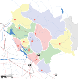
Naggar is a settlement in Kullu district, Himachal Pradesh, India, and it falls as a stopover. It was the capital of Kullu Rajas in 1460 AD.
Access
- Distance from Delhi: 589 km
- Distance from Shimla: 246 km
- Distance from Kullu (main town): 26 km
- Distance from Manali: 22 km
Attractions
- Nicholas Roerich Art Gallery.
- Gauri Shanker Temple.
- Tripura Sundri Temple.[1]
- vasuki nag Temple
- manali
References
External links
Kullu Manali Circuit Sutlej Trail Beas Trail Kullu Valley Trail Across The Rohtang Pass govt polytechnic talwar
Categories:- Cities and towns in Kullu district
- Stopovers in Himachal Pradesh
- Kullu
- Himachal Pradesh geography stubs
Wikimedia Foundation. 2010.


