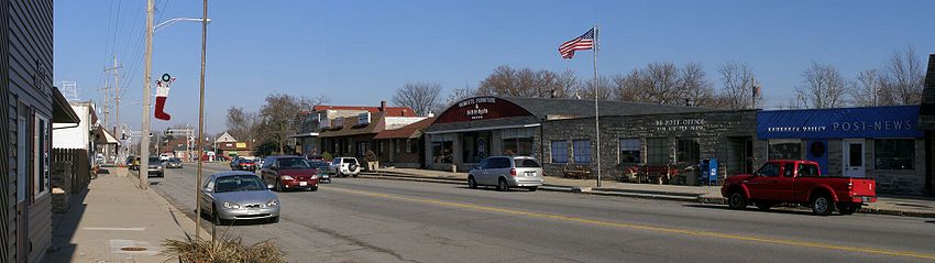
- DeMotte, Indiana
-
Town of DeMotte, Indiana — Town — Location in the state of Indiana
Coordinates: 41°11′53″N 87°11′57″W / 41.19806°N 87.19917°WCoordinates: 41°11′53″N 87°11′57″W / 41.19806°N 87.19917°W Country United States State Indiana County Jasper Township Keener Area – Total 3.6 sq mi (9.3 km2) – Land 3.6 sq mi (9.3 km2) – Water 0.0 sq mi (0.0 km2) Elevation 669 ft (204 m) Population (2010) – Total 3,814 – Density 3,400.1/sq mi (1,312.8/km2) Time zone CST (UTC-6) – Summer (DST) CDT (UTC-5) ZIP code 46310 Area code(s) 219 FIPS code 18-17722[1] GNIS feature ID 0450503[2] DeMotte is a town in Keener Township, Jasper County, Indiana, United States. The population was 3,814 at the 2010 census. DeMotte is well known for its comforting atmosphere and friendly people. In 2001, it was acclaimed at the town where strangers are acquaintances, neighbors are colleagues and friends are family.
Contents
Geography
DeMotte is located at 41°11′53″N 87°11′57″W / 41.19806°N 87.19917°W (41.198077, -87.199190).[3] According to the United States Census Bureau, the town has a total area of 3.6 square miles (9.3 km²), all of it land.
Demographics
As of the census[1] of 2000, there were 3,234 people, 1,297 households, and 897 families residing in the town. The population density was 900.7 people per square mile (347.8/km²). There were 1,361 housing units at an average density of 379.1 per square mile (146.4/km²). The racial makeup of the town was 99.01% White, 0.06% African American, 0.06% Native American, 0.06% Asian, 0.25% from other races, and 0.56% from two or more races. Hispanic or Latino of any race were 1.61% of the population.
There were 1,297 households out of which 30.8% had children under the age of 18 living with them, 58.8% were married couples living together, 7.2% had a female householder with no husband present, and 30.8% were non-families. 28.3% of all households were made up of individuals and 17.1% had someone living alone who was 65 years of age or older. The average household size was 2.44 and the average family size was 2.98.
In the town the population was spread out with 25.0% under the age of 18, 7.5% from 18 to 24, 26.5% from 25 to 44, 20.1% from 45 to 64, and 20.9% who were 65 years of age or older. The median age was 38 years. For every 100 females there were 88.4 males. For every 100 females age 18 and over, there were 83.8 males.
The median income for a household in the town was $37,557, and the median income for a family was $44,583. Males had a median income of $36,705 versus $22,941 for females. The per capita income for the town was $19,059. About 7.0% of families and 7.7% of the population were below the poverty line, including 7.5% of those under age 18 and 6.5% of those age 65 or over.
Notable Citizen
Charles A. Halleck, a Republican leader in the U.S. House of Representatives between 1946 and 1964, was born near DeMotte in 1900. A prominent member of the Conservative coalition, Halleck served as the House Majority Leader after the elections of 1946 and 1952 and Minority Leader from 1959 to 1964 when he was defeated in his bid to remain Minority Leader by Rep. Gerald Ford of Michigan.

References
- ^ a b "American FactFinder". United States Census Bureau. http://factfinder.census.gov. Retrieved 2008-01-31.
- ^ "US Board on Geographic Names". United States Geological Survey. 2007-10-25. http://geonames.usgs.gov. Retrieved 2008-01-31.
- ^ "US Gazetteer files: 2010, 2000, and 1990". United States Census Bureau. 2011-02-12. http://www.census.gov/geo/www/gazetteer/gazette.html. Retrieved 2011-04-23.
External links
Municipalities and communities of Jasper County, Indiana City 
Towns DeMotte | Remington | Wheatfield
Townships Communities Aix | Asphaltum | Baileys Corner | Collegeville | Deer Park | Dunns Bridge | Egypt | Fair Oaks | Forest City | Fountain Park | Gifford | Kersey | Kniman | McCoysburg | Newland | Parr | Pleasant Ridge | Roselawn‡ | Stoutsburg | Surrey | Tefft | Virgie
Footnotes ‡This populated place also has portions in an adjacent county or counties
Categories:- Populated places in Jasper County, Indiana
- Towns in Indiana
- Northwest Indiana


Wikimedia Foundation. 2010.