- Arusha National Park
-
Arusha National Park IUCN Category II (National Park)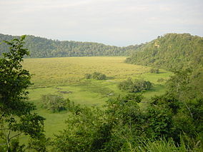
Ngurdoto Crater in the national park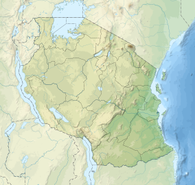

Location Arusha Region, Tanzania Coordinates 3°15′S 36°50′E / 3.25°S 36.833°ECoordinates: 3°15′S 36°50′E / 3.25°S 36.833°E Area 137 km² Established 1960 Arusha National Park covers Mount Meru, a prominent volcano with an elevation of 4566 m, in the Arusha Region of north eastern Tanzania.
The park is small but varied with spectacular landscapes in three distinct areas. In the west, the Meru Crater funnels the Jekukumia River; the peak of Mount Meru lies on its rim. Ngurdoto Crater in the south-east is grassland. The shallow alkaline Momella Lakes in the north-east have varying algal colours and are known for their wading birds.
Mount Meru is the second highest peak in Tanzania after Mount Kilimanjaro, which is just 60 km away and forms a backdrop to views from the park to the east. Arusha National Park lies on a 300-kilometre axis of Africa's most famous national parks, running from Serengeti and Ngorongoro Crater in the west to Kilimanjaro National Park in the east.
The park is just a few kilometres north east of Arusha, though the main gate is 25 km east of the city. It is also 58 km from Moshi and 35 km from Kilimanjaro International Airport (KIA).
Wildlife
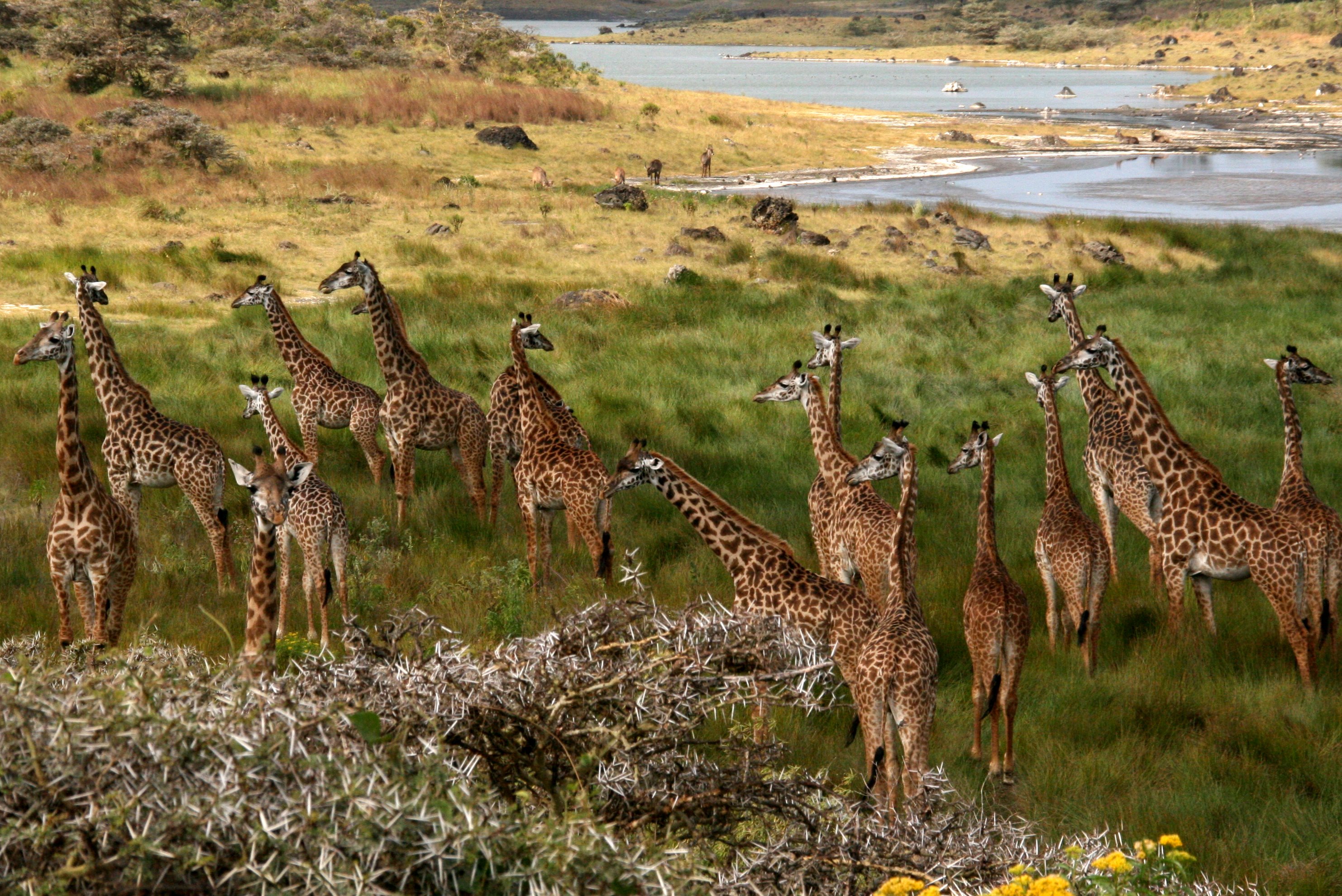
 Giraffes in Arusha National Park
Arusha National Park has a rich variety of wildlife, but visitors shouldn't expect the same game-viewing experience they find in other National Parks of Tanzania's northern citcuit. Despite the small size of the park, common animals include giraffe, buffalo, zebra, warthog, the black-and-white colobus monkey, the blue monkey, flamingos and more. African Elephant are present, but rarely seen, similarly Leopard, but there are no lion in the park. Birdlife in the forest is prolific, with many forest species more easily seen here than elsewhere on the tourist route - Narina Trogon and Bar-tailed Trogon are both possible highlights for visiting birders, whilst the range of starling species provide somewhat less gaudy interest.
External links
National Parks of Tanzania National Parks Arusha · Gombe Stream · Jozani Chwaka Bay · Katavi · Kilimanjaro · Kitulo · Lake Manyara · Mahale Mountains · Mikumi · Mount Meru · Ruaha · Rubondo Island · Saadani · Serengeti · Tarangire · Udzungwa MountainsReserves Marine National Parks
and ReservesCategories:- IUCN Category II
- Mount Meru (Tanzania)
- National parks of Tanzania
- Arusha Region
- Protected areas established in 1960


Wikimedia Foundation. 2010.