- Kalpeni
-
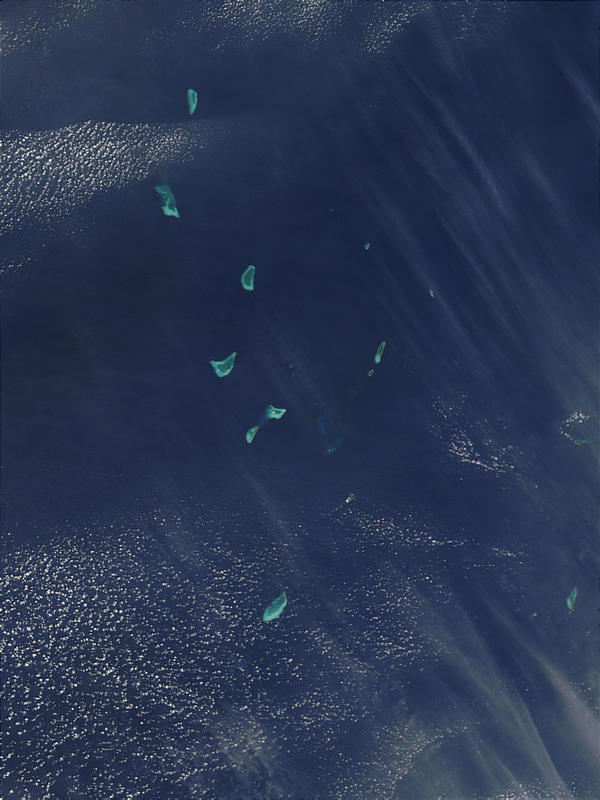
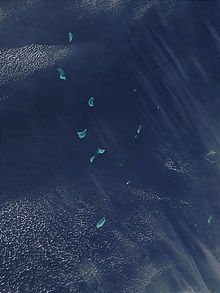 Satellite picture showing the atolls of the Lakshadweep except for Minicoy
Kalpeni — city — Coordinates 10°04′09″N 73°38′42″E / 10.069093°N 73.644962°ECoordinates: 10°04′09″N 73°38′42″E / 10.069093°N 73.644962°E Country India State Lakshadweep District(s) Lakshadweep Population
• Density
4,321 (2001[update])
• 1,549 /km2 (4,012 /sq mi)
Literacy
• Male
• Female84.4%
• 91.82%
• 75.83%Time zone IST (UTC+05:30) Area 2.79 square kilometres (1.08 sq mi) Kalpeni is an inhabited island in the Union Territory of Lakshadweep, India. It lies 71 km south of Androth and 201 km to the NNE of Minicoy, with the broad Nine Degree Channel between them. Kalpeni forms a single coral atoll along with the uninhabited islands of Cheriyam, Tilakkam and Pitti islet.[1]
The eastern and southern shorelines of the island have accumulations of coral debris, the result of a violent storm that hit the area in 1847.
Kalpeni was the first island in the Union Territory where women were allowed to go to school and get an education.
Contents
Tourism
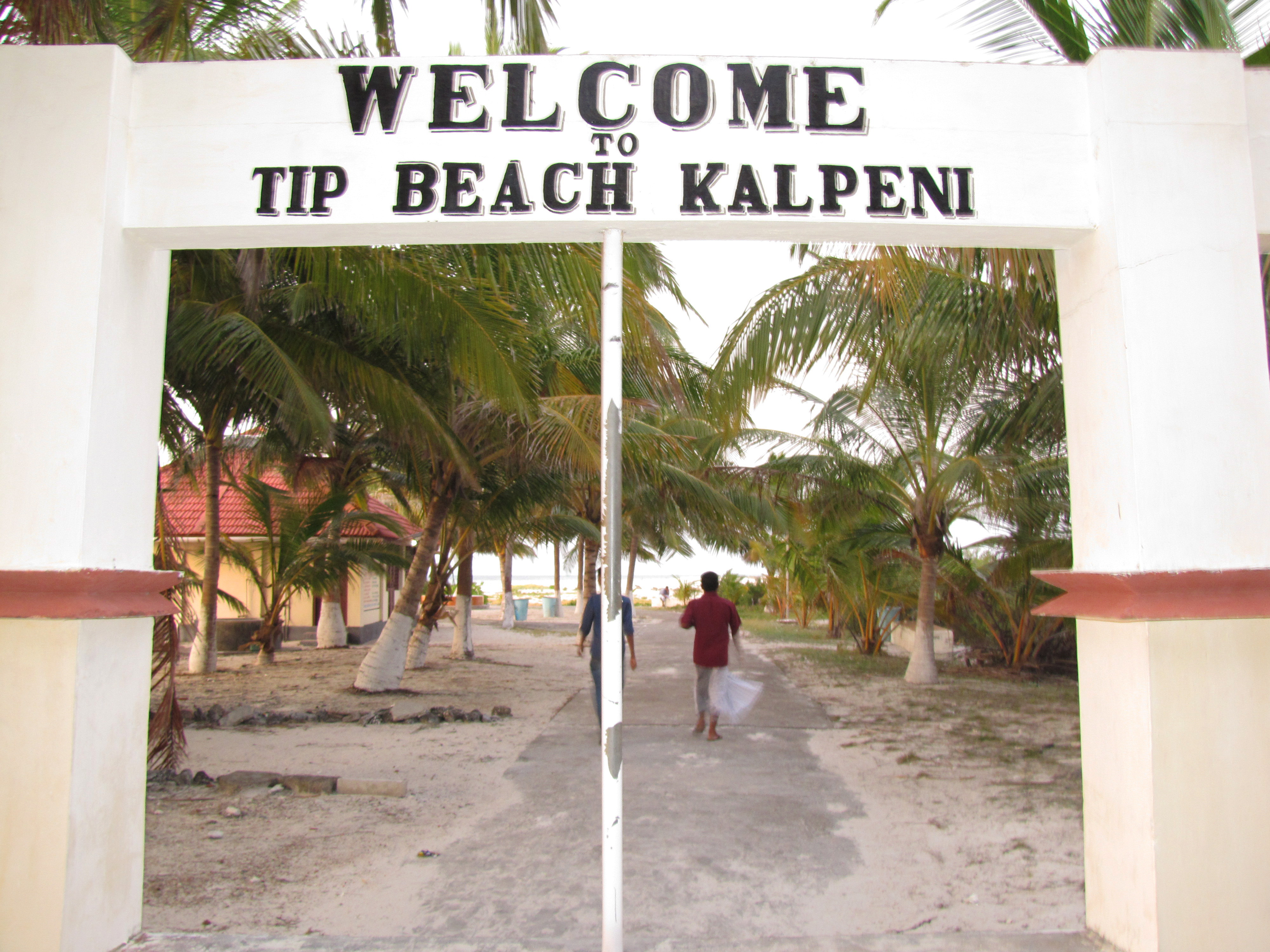
Kalpeni has a beach at the northern tip of the island called Tip Beach where one can do snorkelling, sea bath and kayaking. Because of the coral reefs present in the sea near the beach, the water is shallow and calm, making it an excellent spot for beach activities.
There is a 37 m high lighthouse in Kalpeni from whose top one can see a bird's eye view of the island, the lagoon with the smaller islands, the reef and the surrounding ocean. From the top of the lighthouse, one can visualize the abundance of coconut trees and the ground is not visible due to dense packing of the tops of these trees.
Image Gallery
- Kalpeni
-
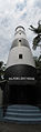
Light House
-
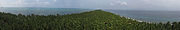
Island's Panoramic View From Lighthouse
-
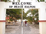
Tip Beach
-
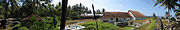
Moideen Mosque a Panoramic View
-
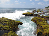
A deep whirlpool in the Agatthiyatti Stone area
-
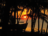
Sunset at Kalpeni
References
External links
Categories:- Geography of Lakshadweep
- Islands of Lakshadweep
- India geography stubs


Wikimedia Foundation. 2010.