- City Road
-

City Road or The City Road is a road that runs through inner north and central London. The northwestern extremity of the road is at the Angel, Islington where it forms a continuation of Pentonville Road. Pentonville Road itself is the modern name for London's first bypass, the New Road from Paddington to Islington, which was constructed in 1756. The City Road was built in 1761 as a continuation of that route to the City of London.
The City Road runs roughly south-east and downhill, until it passes Moorfields Eye Hospital, when it bears closer to south, and has a junction with Old Street at a large roundabout. After Old Street it continues south, continuing past Bunhill Fields and the Honourable Artillery Company, then in quick succession turns into Finsbury Square, Finsbury Pavement, then Moorgate, the latter beginning at the border with the City of London.
The part of the road north of Old Street is on the London Inner Ring Road and as such forms part of the boundary of the London congestion charge zone. The ringroad continues east along Old Street. Most of the road is in the London Borough of Islington although the stretch from Wharf Road down to the Old Street roundabout is the border between Islington and Hackney so the two sides are in different boroughs.
Nearby London Underground stations are Angel, Old Street and Moorgate. The disused City Road tube station was on City Road itself.
London Bus routes serving the length of City Road include 43, 205, 214, 394.
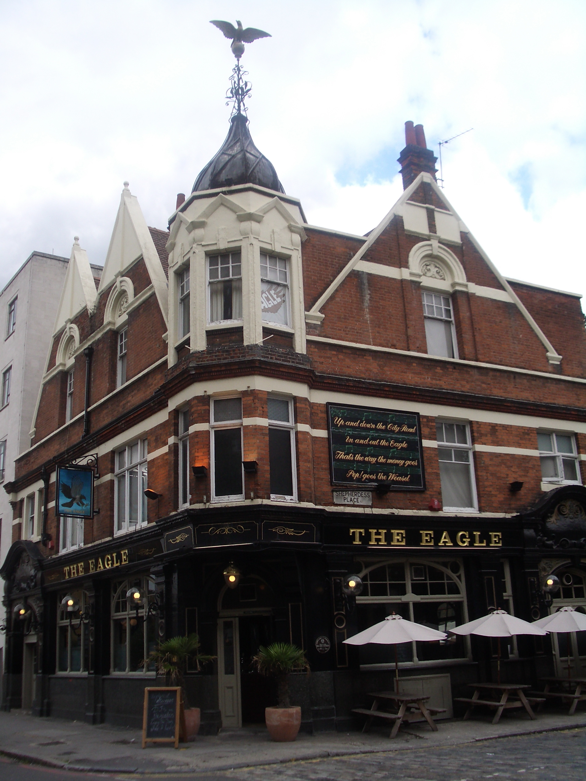
The City Road (and Eagle) is mentioned in the nursery rhyme Pop Goes the Weasel, and the rhyme appears on the wall of the Eagle.[1]
References
- ^ a b David Kemp (1992) The pleasures and treasures of Britain: a discerning traveller's companion p.158. Dundurn Press Ltd., 1992
See also
"City Road" in Ben Weinreb and Christopher Hibbert (1983) The London Encyclopedia. Macmillan: Basingstoke.
Categories:- Streets in Islington
- Streets in the City of London
- Honourable Artillery Company
Wikimedia Foundation. 2010.