Crestmont (SEPTA station)

Crestmont (SEPTA station)
Crestmont
SEPTA regional rail
Crestmont Station.jpg
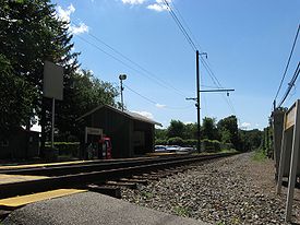
Station statistics
Address Rubicam & Rockwell Avenues
Abington, Pennsylvania
Coordinates 40°08′00″N 75°07′07″W / 40.1332°N 75.1186°W / 40.1332; -75.1186Coordinates: 40°08′00″N 75°07′07″W / 40.1332°N 75.1186°W / 40.1332; -75.1186
Lines
  Warminster Line
Connections City Bus SEPTA City Bus: 22
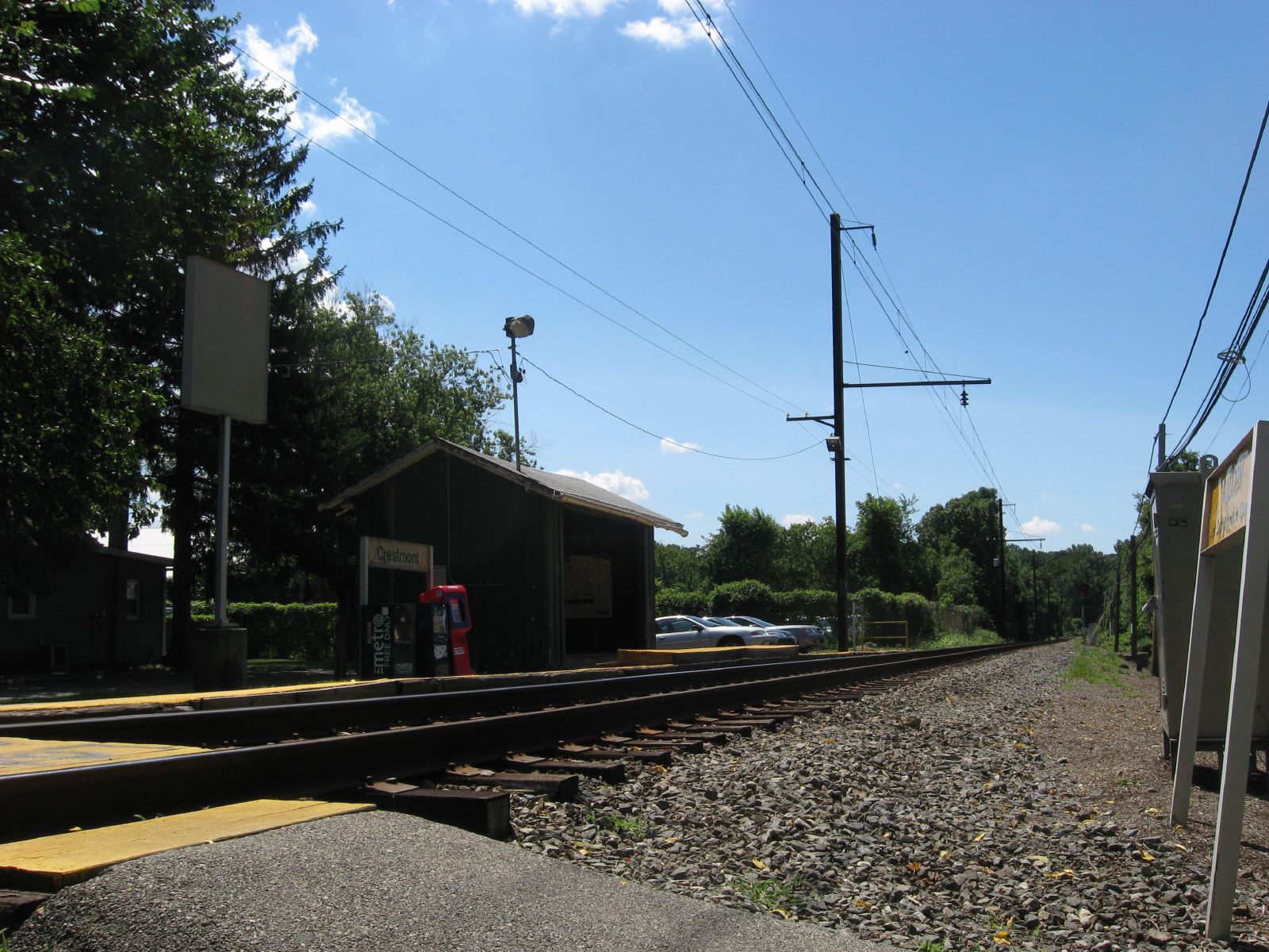
Platforms 1 side platform
Tracks 1
Other information
Electrified 1931
Owned by SEPTA
Fare zone 3
Services
Preceding station   SEPTA   Following station
Warminster Line
toward Warminster

Crestmont is a railroad station in Abington, Pennsylvania on SEPTA's Warminster Line, formerly Reading New Hope branch. It is located at the intersection of Rubicam Ave and Rockwell Road. The station parking lot has 24 spaces. The station contains no ticket or station facilities and consists only of a shelter.

External links


Wikimedia Foundation. 2010.

Игры ⚽ Поможем решить контрольную работу

Look at other dictionaries:

  • Noble (SEPTA station) — Noble SEPTA regional rail Noble Station Station statistics Add …   Wikipedia

  • Meadowbrook (SEPTA station) — Meadowbrook SEPTA regional rail Meadowbrook Station Station statistics …   Wikipedia

  • R2 (SEPTA) — The R2 is a route of the SEPTA Regional Rail commuter rail system in the Philadelphia area. The Pennsylvania Railroad end of the route has service to Marcus Hook, Pennsylvania, Wilmington, Delaware, and Newark, Delaware via Amtrak s Northeast… …   Wikipedia

  • Lawncrest, Philadelphia, Pennsylvania — Lawncrest is a neighborhood in the Near (lower) Northeast Philadelphia, Pennsylvania. The name is an amalgram of Lawndale and Crescentville, the two primary communities that make up the neighborhood. The community can trace its roots back to the… …   Wikipedia

  • Narberth, Pennsylvania — Coordinates: 40°00′27″N 75°15′44″W / 40.0075°N 75.26222°W / 40.0075; 75.26222 …   Wikipedia

  • North Hills, Pennsylvania — North Hills is an unincorporated community in Abington, Springfield, and Upper Dublin townships in Montgomery County, Pennsylvania, United States. It is served by the 19038 zip code. It is a lesser developed town than their neighbor, Glenside. It …   Wikipedia

  • National Register of Historic Places listings in Montgomery County, Pennsylvania — Location of Montgomery County in Pennsylvania This is a list of the National Register of Historic Places listings in Montgomery County, Pennsylvania. This is intended to be a complete list of the properties and districts on National Register of… …   Wikipedia

  • North Wales, Pennsylvania — Coordinates: 40°12′39″N 75°16′30″W / 40.21083°N 75.275°W / 40.21083; 75.275 …   Wikipedia

  • Oreland, Pennsylvania — Coordinates: 40°06′52″N 75°10′48″W / 40.11444°N 75.18°W / 40.11444; 75.18 …   Wikipedia

  • Cheltenham Township, Montgomery County, Pennsylvania — Coordinates: 40°04′00″N 75°06′59″W / 40.0666667°N 75.11639°W / 40.0666667; 75.11639 …   Wikipedia

Share the article and excerpts

Direct link
Do a right-click on the link above
and select “Copy Link”