- Octavia Boulevard
-
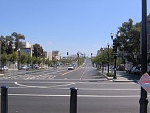 Looking south along Octavia Boulevard from Fell Street, where the Central Freeway once dominated the landscape.
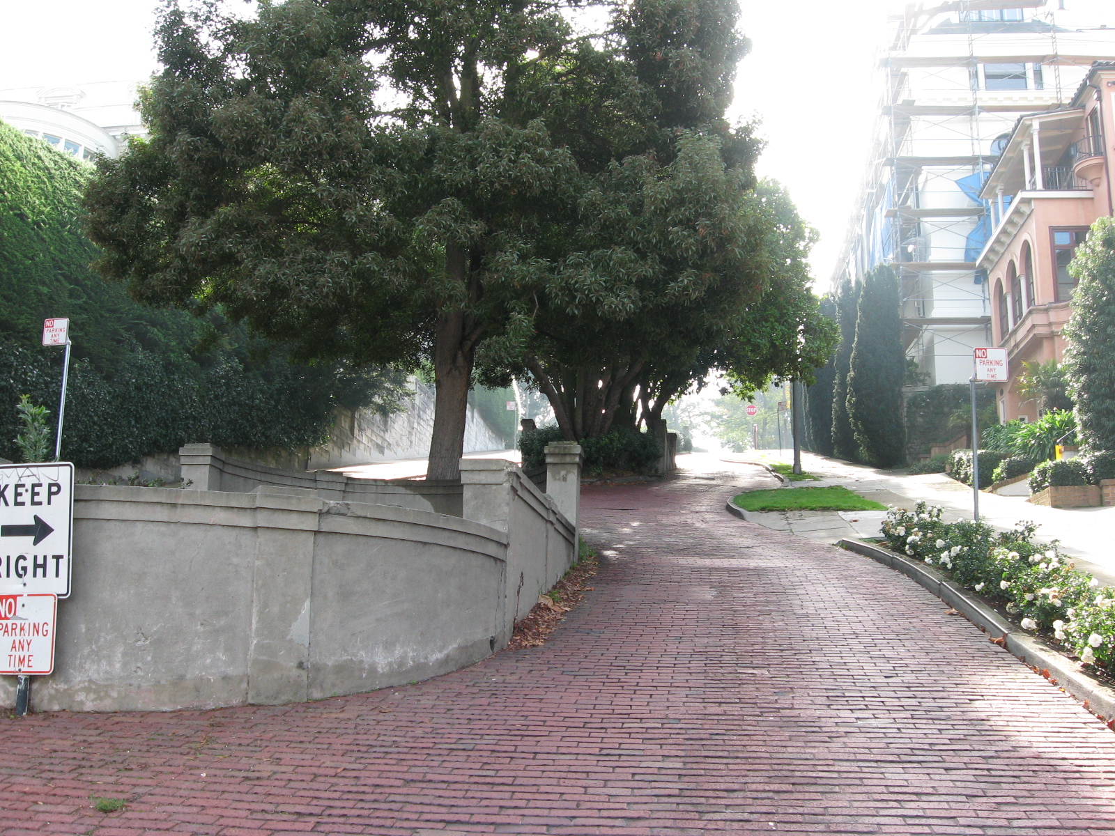
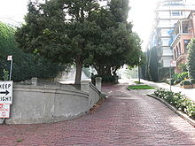 Looking south along Octavia Street from Jackson Street. This is one of the few blocks in San Francisco still paved in brick.
Octavia Boulevard (designated as Octavia Street north of Hayes Street) is a major street in San Francisco, California that replaced the Hayes Valley portion of the damaged two-level Central Freeway. Once a portion of Octavia Street alongside shadowy, fenced-off land beneath the elevated U.S. Route 101 roadway, Octavia Boulevard was redeveloped and redesigned to better use the freeway's right-of-way for additional street space and new housing.
The boulevard is merely four blocks long from Market to Fell Street, containing multiple lanes that separate local and through traffic. On Octavia, homes and businesses located immediately on the street are served by the quieter outer roadways, while lanes leading to and from the rebuilt Central Freeway spur connect faster traffic with the inner roadways. Having replaced a freeway, the boulevard distributes traffic smoothly and evenly throughout the immediate neighborhood, while maintaining the links to the major San Francisco traffic arterials that the old elevated freeway used to connect to directly, including Fell and Oak Streets (which serve the city's western neighborhoods) and Franklin and Gough Streets (which serve northern neighborhoods and the Golden Gate Bridge. A brand new park named Hayes Green was created as part of the boulevard project. It lies on Octavia between Fell and Hayes Street.
North of Hayes Street, Octavia continues as Octavia Street through the Western Addition, Pacific Heights and Marina neighborhoods to Bay Street, at Fort Mason.
Other freeway removal projects in the San Francisco Bay, due to seismic stability (or collapse), include the replacement of San Francisco's Embarcadero Freeway, and the reuse of the collapsed Cypress Structure's right-of-way in neighboring Oakland.
External links
- SFCityscape.com: Octavia Boulevard
- "Where the Highway Ends," Metropolis Magazine, June 13, 2005
- Market & Octavia Neighborhood Plan City & County of San Francisco.
- Congress for the New Urbanism History of Octavia Boulevard
Streets in San Francisco Numbered streets 
North-south streets Castro Street · Fillmore Street · Grant Avenue · Great Highway · Junipero Serra Boulevard · Kearny Street · Mission Street · Montgomery Street · Octavia Boulevard · Polk Street · Skyline Boulevard · Stockton Street · Van Ness Avenue · Vermont Street
East-west streets Diagonal streets The Embarcadero · Market Street · Columbus Avenue
Alleyways Belden Place · Jack Kerouac Alley · Macondray Lane · Maiden Lane · Balmy Alley
see also: San Francisco street toponymy Coordinates: 37°46′26″N 122°25′26″W / 37.77389°N 122.42389°W
Categories:- Streets in San Francisco, California
- California road stubs

Wikimedia Foundation. 2010.