- Massachusetts Route 13
-
Route 13
Route information Length: 14.14 mi[1] (22.76 km) Major junctions South end:  Route 12 in Leominster
 Route 2 in Leominster
 Route 2A in Lunenburg
 Route 119 in Townsend
North end:  NH Route 13 in Brookline, NH
Highway system Massachusetts State Highway Routes
← Route 12Route 14  →
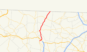
→Route 13 is a 14.1-mile north–south highway in north-central Massachusetts.
Route description
Route 13 begins at Route 12 north of downtown, where that route turns from Main Street to North Main Street. Route 13 continues along North Main Street, crossing Route 2 near the Mall at Whitney Field, before crossing the north branch of the Nashua River and the Fitchburg Line of the MBTA Commuter Rail before turning northward towards the village of Whalom and the town of Lunenburg. In Lunenburg, the road turns eastward, running concurrently with Route 2A for approximately 0.3 miles (0.48 km) before turning northward again. It then passes into Townsend, where it crosses the Squanacook River and through the downtown area, before continuing through the Townsend State Forest and ending at the New Hampshire state line, where the road becomes New Hampshire Route 13, running northward towards Milford.
Whalom Park, a former amusement park which stood from 1893 to 2000, was located along Route 13 in Lunenburg, just north of the Leominster town line.
Junction list
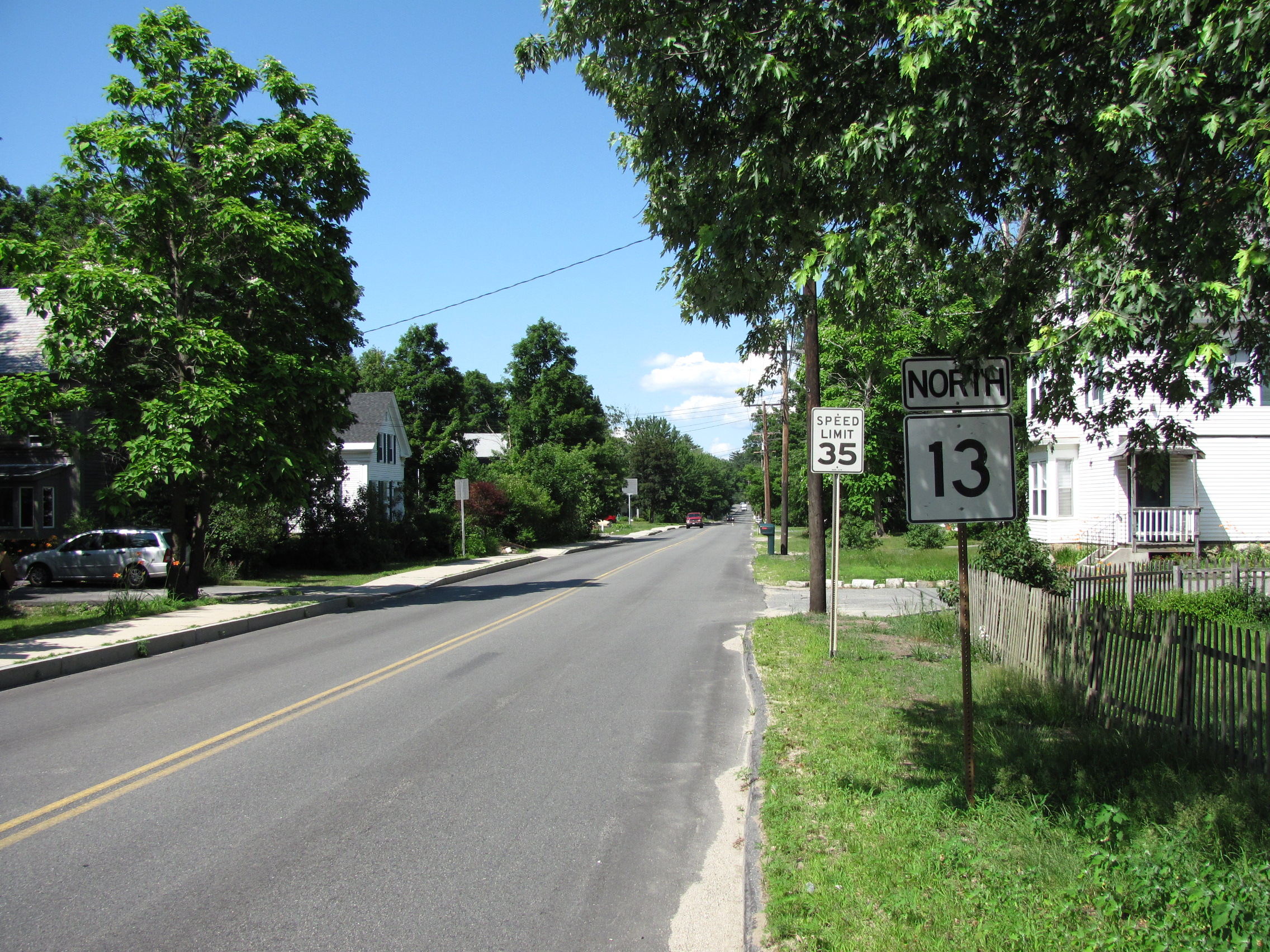
 Rte. 13 Northbound in Townsend
County Location Milepost Roads Intersected Notes Worcester Leominster 0.00 Route 12Southern terminus of Route 13. 0.7 Route 2Route 2 Exit 32. Lunenburg 4.9 
Route 2A WestWestern terminus of Route 2A/13 concurrency. 5.2 
Route 2A EastEastern terminus of Route 2A/13 concurrency. Middlesex Townsend 10.9 Route 11914.14 NH Route 13Northern terminus of MA Route 13.
Southern terminus of NH Route 13.References
Categories:- Numbered routes in Massachusetts


Wikimedia Foundation. 2010.