Dang Deokhuri District

Dang Deokhuri District

Infobox Nepal district
district = Dang Deokhuri District
area = 2955
population = 462,380
pop_year = 2001
density =
caption =
region =
established =
languages =
website =


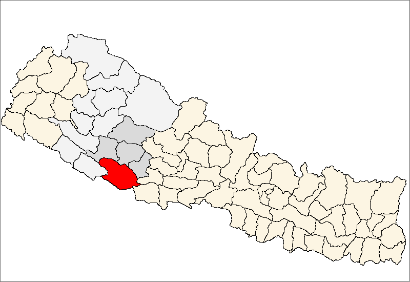
Dang Deokhuri District, a part of Rapti Zone, is one of the seventy-five districts of Nepal, a landlocked country of South Asia. The district, with Tribhuvannagar as its district headquarters, covers an area of 2,955km² and has a population (2001) of 462,380.

There are many Tharu people living here. Since the early 1990s, activist groups have been attempting to eradicate the practice of child indentured servitude among the Tharu, many of whom sold their young daughters to wealthy families in urban areas. [ [http://news.bbc.co.uk/1/hi/world/south_asia/6405373.stm Desperate plight of Nepal 'slave girls'] BBC News, 2 March 2007]

Towns and villages

Amritpur,
Baghmare,
Bela,
Bijauri,
Chaulahi,
Dhanauri,
Dharna,
Dhikpur,
Diruwa,
Gadhawa,
Gangapraspur,
Gobardiya,
Halwar,
Hansipur,
Hapur,
Hekuli,
Kabhre,
Koilabas,
Lalmitiya,
Laxmipur,
Loharpani,
Manpur,
Narayanpur,
Panchakule,
Pawan Nagar,
Phulbari,
Purandhara,
Rajpur,
Rampur,
Saidha,
Satbariya,
Saudiyar,
Shantinagar,
Shreegaun,
Sisahaniya,
Sonpur,
Syuja,
Tarigaun,
Tribhuwan Nagar,
Tulsipur,
Urahari

ee also

*Zones of Nepal

References

*


Wikimedia Foundation. 2010.

Игры ⚽ Нужно решить контрольную?

Look at other dictionaries:

  • Dang Deukhuri District — Dāng Deukhurī Jillā दाङ देउखुरी जिल्ला   District   Dang Deukhuri (red) …   Wikipedia

  • Rampur, Dang Deokhuri — Infobox Settlement name = Rampur, Dang Deokhuri other name = native name = nickname = settlement type =Village Development Committee motto = imagesize = image caption = flag size = image seal size = image shield = shield size = image blank emblem …   Wikipedia

  • Doti District — This article is about the district in Nepal. For the South Asian dress, see dhoti. Doti डोटी   District   Loca …   Wikipedia

  • Dhading District — Dhading धादिङ   District   Location of Dhading Country …   Wikipedia

  • Dolpa District — Dolpa डोल्पा   District   Phoksundo Lake …   Wikipedia

  • Morang District — Morang मोरङ   District   Location of Morang Country …   Wikipedia

  • Dhanusa District — Dhanusa धनुषा   District   Country …   Wikipedia

  • Chitwan District — Chitwan चितवन   District   Chitwan is located in the NW of Narayani Zone. Countr …   Wikipedia

  • Dadeldhura District — Dadeldhura डडेलधुरा   District   Location of Dadeldhura Country …   Wikipedia

  • Gorkha District — Gorkha गोरखा   District   Location of Gorkha Country …   Wikipedia

Share the article and excerpts

Direct link
Do a right-click on the link above
and select “Copy Link”