- Newry, Victoria
-
Newry
Victoria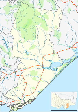
 Newry
NewryPostcode: 3859 Location: LGA: Shire of Wellington State District: Gippsland East Federal Division: Gippsland Newry is a town in Victoria, Australia, located on Newry - Boisdale Road, north west of Maffra, in the Shire of Wellington.
Contents
History
The first survey of the area was conducted in 1860 by W. Dawson. A fresh survey was conducted in 1861 by C. P. Rafferty in 1861, and further surveying was performed by G. Hastings in 1863. The survey by Rafferty set aside occupied land for a township reserve, which was surveyed into blocks by G.T. Jones in 1867. 16 blocks were sold in 1867, and blocks were sold again in 1871.[1]
The Post Office opened on 1 February 1869 as Upper Maffra and was renamed Maffra Upper in 1889 and Newry in 1894.[2] A brick church was built in 1885.
Sport
Golfers play at the course of the Newry Golf Club on Three Chain Road.[3]
Notable people
- Craig Huffer, Sub 4-minute miler
References
- ^ Dwyer, Jack (1991), St. Ita's Newry 1891-1991, Enterprise Press Pty. LTD
- ^ Premier Postal History, Post Office List, https://www.premierpostal.com/cgi-bin/wsProd.sh/Viewpocdwrapper.p?SortBy=VIC&country=, retrieved 2008-04-11
- ^ Golf Select, Newry, http://www.golfselect.com.au/armchair/courseView.aspx?course_id=1052, retrieved 2009-05-11
Towns in the Shire of Wellington Alberton • Alberton West • Boisdale • Briagolong • Bushy Park • Carrajung • Coongulla • Cowwarr • Dargo • Glenmaggie • Heyfield • Kilmany • Licola • Loch Sport • Longford • Maffra • Newry • Port Albert • Rosedale • Sale • Seaton • Stratford • Tinamba • Upper Maffra West • Valencia Creek • Woodside · Woodside Beach • Yarram
Towns in Central Gippsland Coordinates: 37°55′S 146°53′E / 37.917°S 146.883°E

This article about a location in Gippsland is a stub. You can help Wikipedia by expanding it.
