- Cornmarket Street
-
For other uses, see Cornmarket (disambiguation).
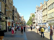 Cornmarket Street in 2007
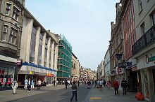 Cornmarket seen from the south, 2004; notice the newly-installed benches of unusual shape.
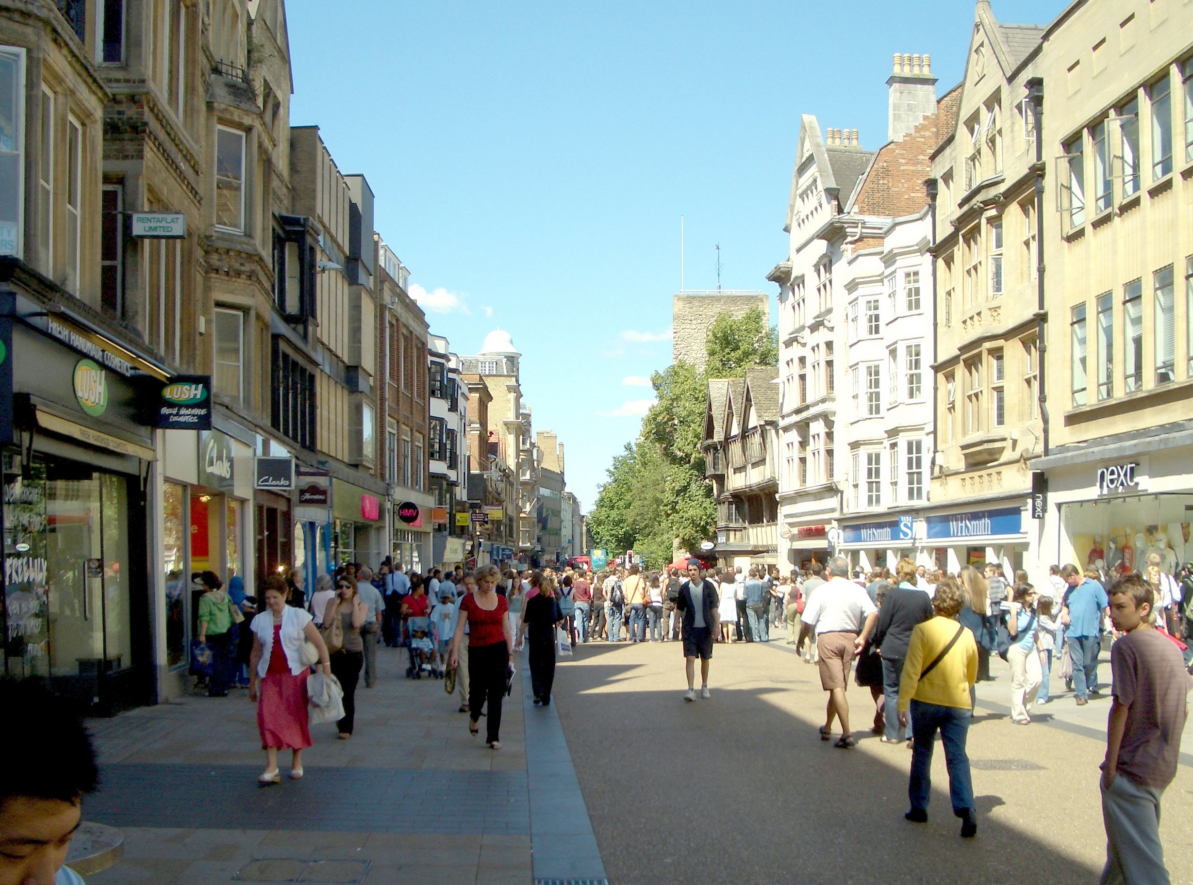
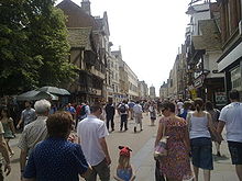 Cornmarket Street seen from the north (Broad Street) end, 2009, with Tom Tower, Christ Church, in the far background.
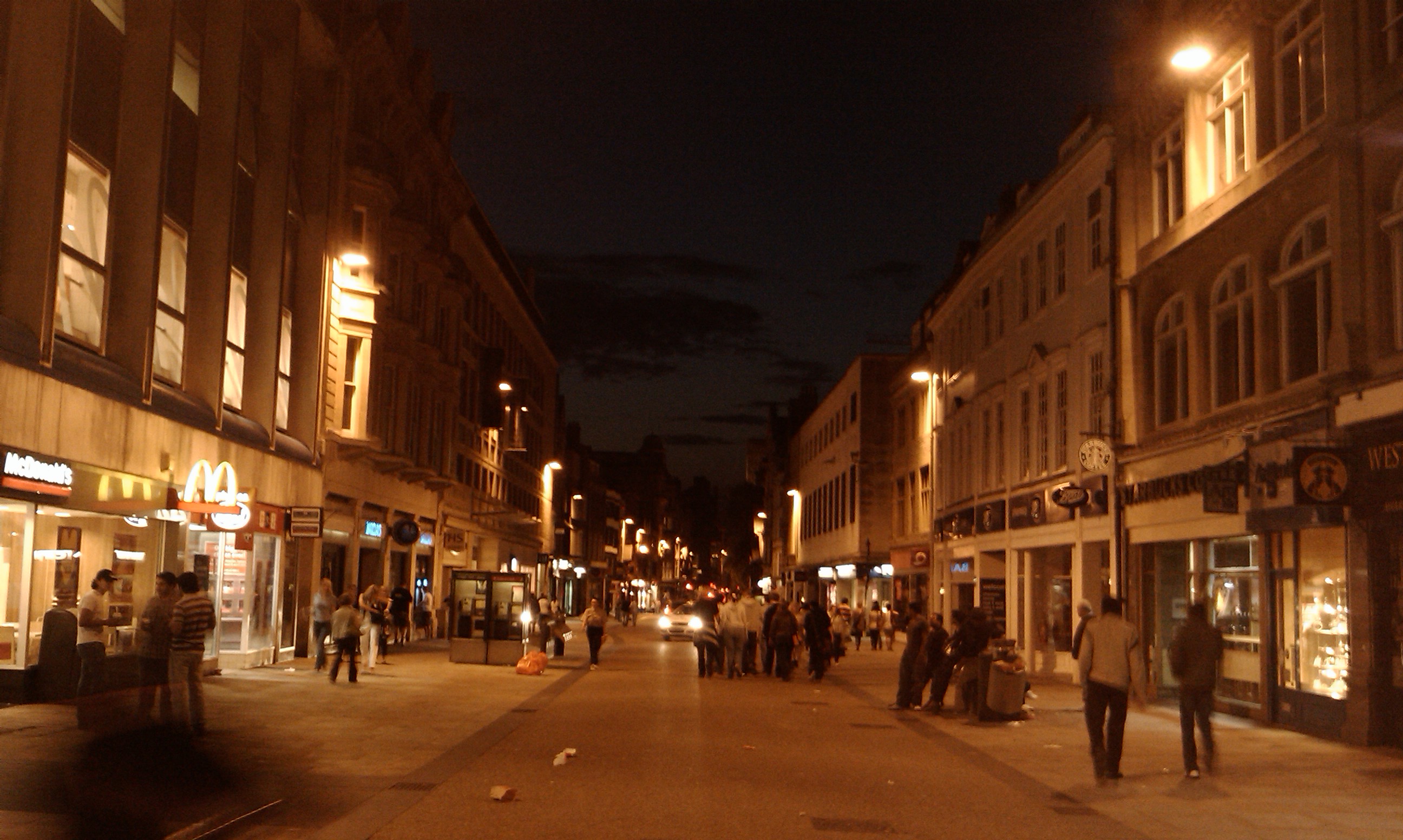
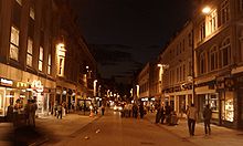 Night view, looking north up Cornmarket.
Cornmarket Street (often called just Cornmarket by Oxonians) is a major shopping street and pedestrian precinct in Oxford, England that runs north-south between Carfax Tower and Magdalen Street.
Retailers in Cornmarket include:
- Austin Reed
- Boots
- Boswells of Oxford
- Burger King
- The Clarendon Centre
- KFC
- McDonald's
- Pret A Manger
- Starbucks
- WHSmith
- HMV
To the east is the small Golden Cross arcade of small jewellery and craft shops in a historic courtyard, leading to the Covered Market. To the west is the indoor Clarendon Shopping Centre that connects in an L-shape to Queen Street.
Cornmarket was pedestrianised in 1999. In 2002, it was voted Britain's second worst street in a poll of listeners to the Today programme.[1] The rating was due largely to the first attempt to repave the street in 2001. This attempt was a failure as the granite sets laid extensively cracked and the contractor went into liquidation. In 2003 it was repaved yet again and new benches installed, amidst reports of budgetary problems.
History of shops
26–28 Cornmarket on the corner of Ship Street is a 14th century timber-framed building.[2] It is the surviving half of a building completed in about 1386 as the New Inn.[2] The building belongs to Jesus College, Oxford and was investigated and restored in 1983.[3]
Boswells of Oxford established what is now the largest department store in Oxford at 50 Cornmarket Street in 1738. In 1928 the shop opened a new main entrance on Broad Street, but it still retains an entrance on Cornmarket Street.
The Victorian photographer Henry Taunt set up a shop at 33 Cornmarket Street in 1869. It was a small shop and in 1874 he moved to larger premises in Broad Street.
Woolworth's bought the historic Clarendon Hotel on the west side of the street in 1939 to demolish it and build a new store on the site.[4] Thomas Sharp, in his report Oxford Replanned for Oxford City Council, warned that Oxford was already short of quality hotel accommodation and the Clarendon's demolition would be a mistake.[4] Notwithstanding Sharp's advice, Woolworth's demolished the hotel in 1954–55.[5] In earlier centuries the Clarendon had been the Star Inn. It was a complex of 16th and 17th century buildings, one of which had a vaulted Norman cellar dating from the second half of the 12th century: possibly the oldest vaulted structure in Oxford.[6] After demolition of all the buildings above the surface, parts of the 12th century vault were destroyed to make way for one of the columns of Clarendon House built in its place.[7]
Clarendon House was designed by William Holford and built in 1956–57.[8] The facade is of coursed and squared rubble masonry with panels of slate, which Nikolaus Pevsner commended as tactful and elegant.[8] The building is now part of the Clarendon Shopping Centre.
St Michael at the Northgate
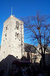
The tower of the Church of england parish church of St Michael at the Northgate is the oldest building in Oxford. It is Saxon and dates from about AD 1000–50.[9] The church is named after the medieval gate of Oxford's city walls that spanned the north end of Cornmarket.
Near this church was the Bocardo Prison, where the Oxford Martyrs were imprisoned in 1555–56 before being burnt at the stake outside the town wall in what is now Broad Street nearby.
Adjoining streets
- Broad Street
- George Street
- High Street
- Magdalen Street
- Market Street
- Queen Street
- St Aldate's
- St Michael's Street
- Ship Street
References
- ^ "Britons name 'best and worst streets'". BBC. 2002-09-20. http://news.bbc.co.uk/1/hi/uk/2270840.stm. Retrieved 2008-01-10.
- ^ a b Munby, 1992, page 245
- ^ Munby, 1992, page 253
- ^ a b Sharp, 1948, page 71
- ^ Jope, 1958, pages 1
- ^ Jope, 1958, pages 20–22
- ^ Jope, 1958, page 4, figure I
- ^ a b Sherwood & Pevsner, 1974, page 312
- ^ Sherwood & Pevsner, 1974, page 294
Sources and further reading
- Jope, E.M. (1958). "The Clarendon Hotel Oxford. Part I. The Site". Oxoniensia (Oxford Architectural and Historical Society) XXIII: 1–83.
- Leeds, E.T. (1936). "A Second Elizabethan Mural Painting at No. 3, Cornmarket Street, Oxford". Oxoniensia (Oxford Architectural and Historical Society) I: 144–150.
- Munby, Julian (1992). "Zacharias's: a 14th Century Oxford New Inn and the Origins of the Medieval Urban Inn". Oxoniensia (Oxfordshire Architectural and Historical Society) LVII: 245–309.
- Pantin, W.A. (1958). "The Clarendon Hotel Oxford. Part II: The Buildings". Oxoniensia (Oxford Architectural and Historical Society) XXIII: 84–129.
- Rouse, E. Clive (1972). "Some 16th and 17th Century Domestic Paintings in Oxford". Oxoniensia (Oxfordshire Architectural and Historical Society) XXXVII: 198–207.
- Sharp, Thomas (1948). Oxford Replanned. London: The Architectural Press.
- Sherwood, Jennifer; Pevsner, Nikolaus (1974). Oxfordshire. The Buildings of England. Harmondsworth: Penguin Books. pp. 311–312. ISBN 0 14 071045 0.
- Sturdy, David; Munby, Julian (1985). "Early Domestic Sites in Oxford: Excavations in Cornmarket and Queen Street, 1959-1962". Oxoniensia (Oxfordshire Architectural and Historical Society) L: 47–94.
- Tyack, Geoffrey (1998). Oxford An Architectural Guide. Oxford & New York: Oxford University Press. pp. 2, 5, 23, 24, 47, 83, 175–177, 263, 264, 329. ISBN 0-19-817423-3.
Categories:- Streets in Oxford
- Shopping streets in Oxford
- Pedestrian streets in the United Kingdom


Wikimedia Foundation. 2010.