- Massachusetts Route 28A
Infobox MA Route
type=
route=28A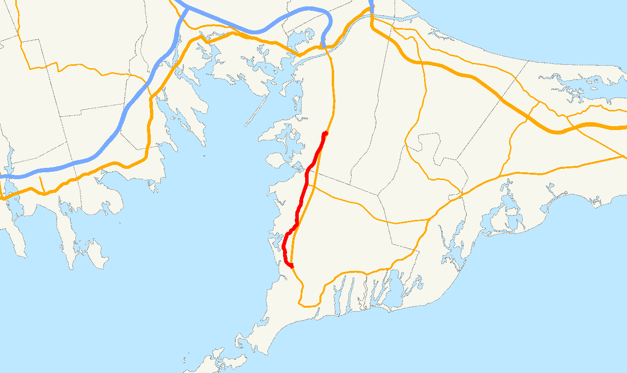
length_mi=7.98 Executive Office of Transportation, [http://www.eot.state.ma.us/default.asp?pgid=content/plan02&sid=about Office of Transportation Planning - 2005 Road Inventory] ]
length_km=12.85
formed=ca. 1960
dir1=South
dir2=North
from=
junction= in Falmouth
to=
previous_type=
previous_route=28
next_type=
next_route=30Route 28A is a 8 mile-long
Massachusetts state route running from Pocasset, Massachusetts in the north toFalmouth, Massachusetts in the south.Communities along the route
*Bourne
*Pocasset
*North Falmouth
*West FalmouthAbout MA Route 28A
MA Route 28A parallels the MA Route 28 freeway section on
Cape Cod . It took over the old Route 28 segment after the freeway was completed in 1966. It provides a scenic alternate route for travelers and direct access to the towns the 10 mile freeway segment bypasses.References
* [http://neilbert.com/findroute.php?route=26-30 Neilbert.com Massachusetts Route Log]
Wikimedia Foundation. 2010.