- 2001 Pacific typhoon season
Infobox hurricane season
Basin=WPac
Year=2001
Track=2001 Pacific typhoon season summary.jpg
First storm formed=May 11 ,2001
Last storm dissipated=December 27 ,2001
Strongest storm name=Faxai
Strongest storm winds=105
Strongest storm pressure=915
Average wind speed=10
Total storms=26 official, 3 unofficial
Total hurricanes=16
Total intense=3 (unofficial)
Fatalities=737
five seasons=1999, 2000, 2001, 2002, 2003|}The 2001 Pacific typhoon season has no official bounds; it ran year-round in 2001, but mosttropical cyclones tend to form in the northwesternPacific Ocean between May and November. [http://www.typhoon2000.ph/garyp_mgtcs/may03sum.txt] These dates conventionally delimit the period of each year when most tropical cyclones form in the northwesternPacific Ocean .The scope of this article is limited to the Pacific Ocean, north of the equator and west of the
international date line . Storms that form east of the date line and north of the equator are called hurricanes; see2001 Pacific hurricane season . Tropical Storms formed in the entire west pacific basin are assigned a name by the Tokyo Typhoon Center. Tropical depressions in this basin have the "W" suffix added to their number. Tropical depressions that enter or form in the Philippine area of responsibility are assigned a name by thePhilippine Atmospheric, Geophysical and Astronomical Services Administration or PAGASA. This can often result in the same storm having two names.torms
In storm information below, wind-speed advisories differ from the
Joint Typhoon Warning Center (JTWC) to the JMA as the JTWC uses theUnited States criteria of 1-minute mean to designate maximum sustained winds, while the JMA uses the 10-minute mean wind criterion to designate tropical cyclone maximum sustained gusts. This difference generally results in JTWC maximum winds appearing higher than the maximum winds described by the JMA for the same cyclone.evere Tropical Storm Cimaron (Crising)
Infobox Hurricane Small
Basin=WPac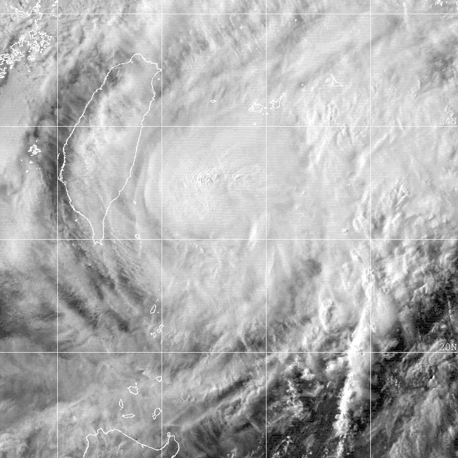
Track=Cimaron 2001 track.pngMay 11 ]
Dissipated=May 14
10-min winds=50
1-min winds=60
Pressure=985Typhoon Chebi (Emong)
Infobox Hurricane Small
Basin=WPac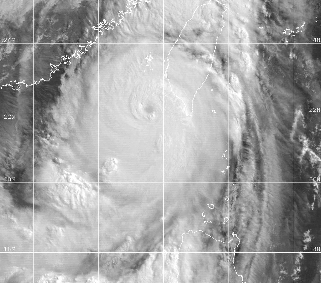
Track=Chebi 2001 track.pngJune 20
Dissipated=June 24
10-min winds=65
1-min winds=100
Pressure=965June 9 nearPalau where it moved westward and strengthened into Tropical Storm Chebi six hours later. Chebi then moved generally west-northwest and then to the northwest as thetropical storm passed north of thePhilippines onJune 21 and entered theLuzon Strait onJune 23 as a Category 1 typhoon. Later on the 23rd Chebi reached a peak intensity of 85 knots (160 km/h, 100 mph) as the center of the storm was convert|75|mi|km south ofTaiwan . A trough forced Chebi west and northwest where it made landfall near Fuzhou City, China. Chebi then weakened and accelerated to the north then northeast, passing southeast ofShanghai before exiting back out to sea. The JMA and other weather centers stopped issuing advisories when the remnants of Chebi dissipated in the eastern Pacific.Chebi killed 82 people, mostly in China, and left $422 million dollars (2001 USD, $457 million (2005 USD). Chebi's heavy rains and strong winds left nine people dead, 28 missing and $13 million (2001 USD) in damage in the Philippines. Four of the nine were from a Belizian
freighter that sank during the storm. [http://72.14.207.104/search?q=cache:B1Z3B7KbI6kJ:www.japantoday.com/gidx/news37918.html+Typhoon+Chebi+,+Taiwan&hl=en&gl=us&ct=clnk&cd=4] ThePenghu Islands , which took the brunt of the typhoon, suffered considerable damage as 102 fishing boats sank and ten thousand people were left without power. The storm also crippled ground and air traffic. [ [http://www.china.org.cn/english/15147.htm Five Killed, 28 Missing in Taiwan ] ] A rain laden typhoon, Chebi produced 100 millimeters of rain acrossGuangdong . [ [http://english.people.com.cn/english/200106/28/eng20010628_73687.html Typhoon Chebi Brings Rainstorm for Guangdong ] ] About 73 people were killed in China, most of them in the southeastern province ofFujian . [http://72.14.207.104/search?q=cache:9R6lRuW8kScJ:www.japantoday.com/gidx/news37987.html+Typhoon+Chebi+,+Taiwan&hl=en&gl=us&ct=clnk&cd=3] The storm also destroyed several thousand acres of crops, resulting in economic losses. InNingde , about 321,400 houses were destroyed by the typhoon. [ [http://english.people.com.cn/english/200106/26/eng20010626_73503.html Typhoon Chebi Savages Fujian, At Least 79 Killed ] ] About 22 people were killed inHangzhou when alandslide burst through a construction wall. [http://64.233.179.104/search?q=cache:DfQeL6g0UJAJ:english.pravda.ru/world/2001/06/27/8836.html+Typhoon+Chebi&hl=en&gl=us&ct=clnk&cd=13]evere Tropical Storm Durian
Infobox Hurricane Small
Basin=WPac
Track=Durian 2001 track.pngJune 30
Dissipated=July 2
10-min winds=60
1-min winds=75
Pressure=970China onJuly 1 as an convert|85|mi/h|km/h|abbr=on typhoon. The name Durian was submitted byThailand and refers to aSoutheast Asia nfruit of the same name.evere Tropical Storm Utor (Feria)
Infobox Hurricane Small
Basin=WPac
Track=Utor 2001 track.pngJuly 2
Dissipated=July 6
10-min winds=60
1-min winds=80
Pressure=960June 30 east of the Philippines, brushed northernLuzon on the 4th as a convert|90|mi/h|km/h|abbr=on typhoon. It continued west-northwestward to hit southeastern China on the 6th. Utor, while not a very strong storm, brought heavy rain amounting to $297.2 million (2001 USD) in damage, as well as causing 144 fatalities.Tropical Storm Trami (Gorio)
Infobox Hurricane Small
Basin=WPac
Track=Trami 2001 track.pngJuly 10
Dissipated=July 11
10-min winds=40
1-min winds=40
Pressure=994Typhoon Kong-rey
Infobox Hurricane Small
Basin=WPac
Track=Kong-Rey 2001 track.pngJuly 22
Dissipated=July 29
10-min winds=70
1-min winds=85
Pressure=955evere Tropical Storm Yutu (Huaning)
Infobox Hurricane Small
Basin=WPac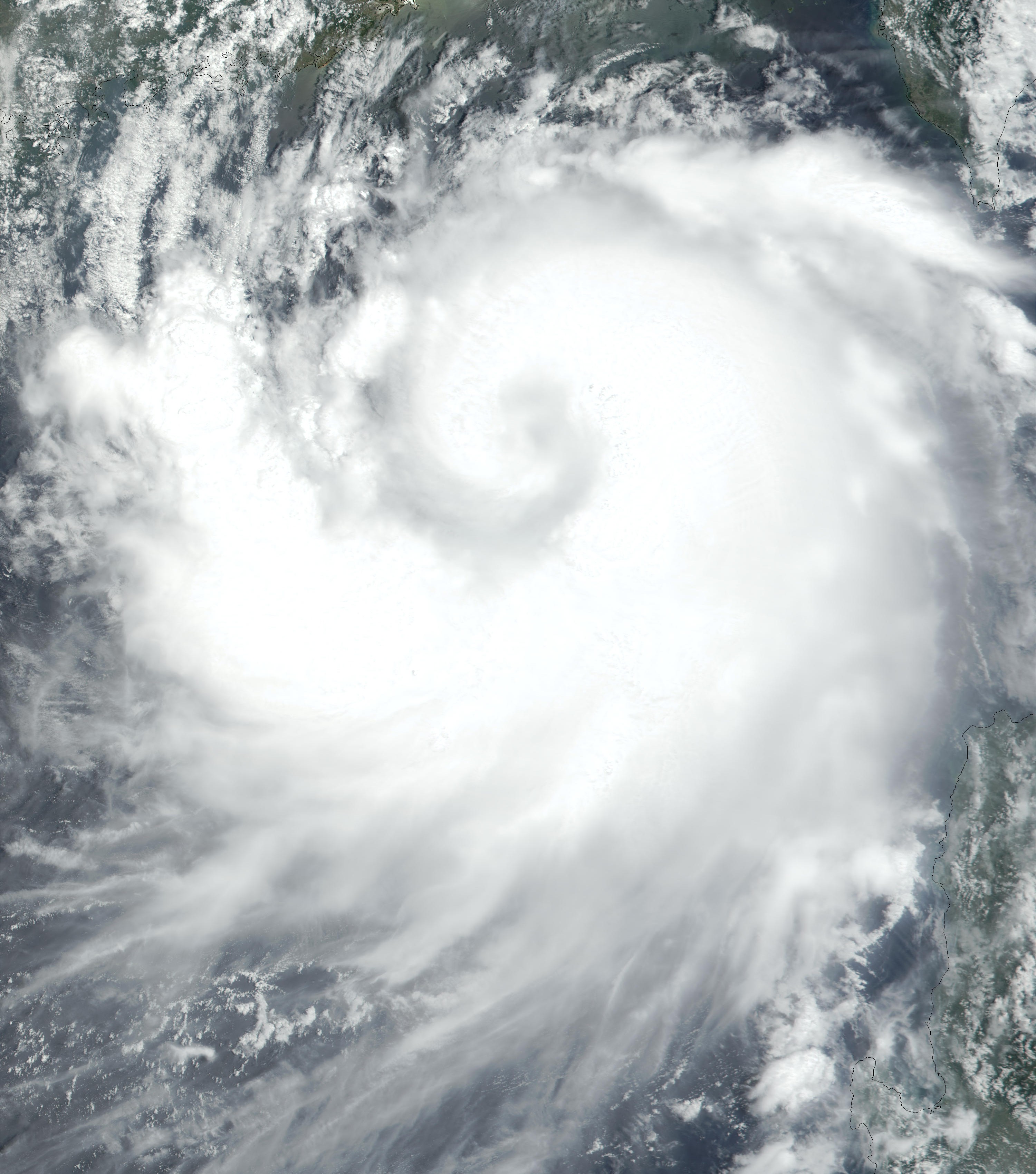
Track=Yutu 2001 track.pngJuly 23
Dissipated=July 26
10-min winds=55
1-min winds=85
Pressure=975Typhoon Toraji (Isang)
Infobox Hurricane Small
Basin=WPac
Track=Toraji 2001 track.pngJuly 27
Dissipated=July 30
10-min winds=75
1-min winds=100
Pressure=960July 29 , convert|115|mi/h|km/h|abbr=on Typhoon Toraji hit easternTaiwan and continued westward to make landfall on southeast China on theJuly 30 . Toraji caused numerous mudslides on Taiwan, causing 72 casualties and $128 million in damage, the deadliest since 1961.Typhoon Man-Yi
Infobox Hurricane Small
Basin=WPac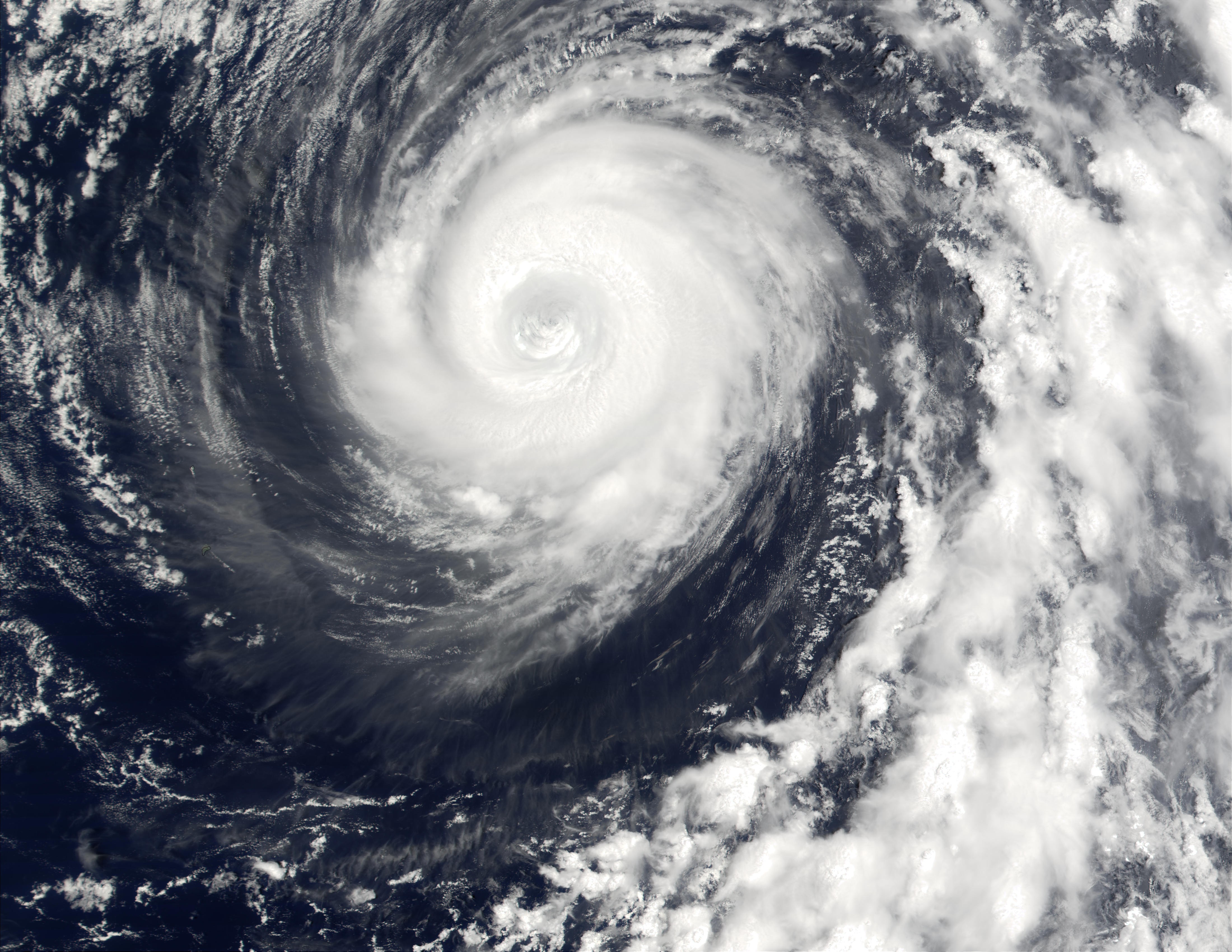
Track=Man-Yi 2001 track.pngAugust 2
Dissipated=August 9
10-min winds=80
1-min winds=120
Pressure=955Tropical Storm Usagi
Infobox Hurricane Small
Basin=WPac
Track=Usagi 2001 track.pngAugust 10
Dissipated=August 11
10-min winds=35
1-min winds=40
Pressure=992August 8 , hit northernVietnam on the 10th. The storm brought flash flooding which killed 177 people.Typhoon Pabuk
Infobox Hurricane Small
Basin=WPac
Track=Pabuk 2001 track.pngAugust 14
Dissipated=August 22
10-min winds=70
1-min winds=90
Pressure=960Typhoon Wutip
Infobox Hurricane Small
Basin=WPac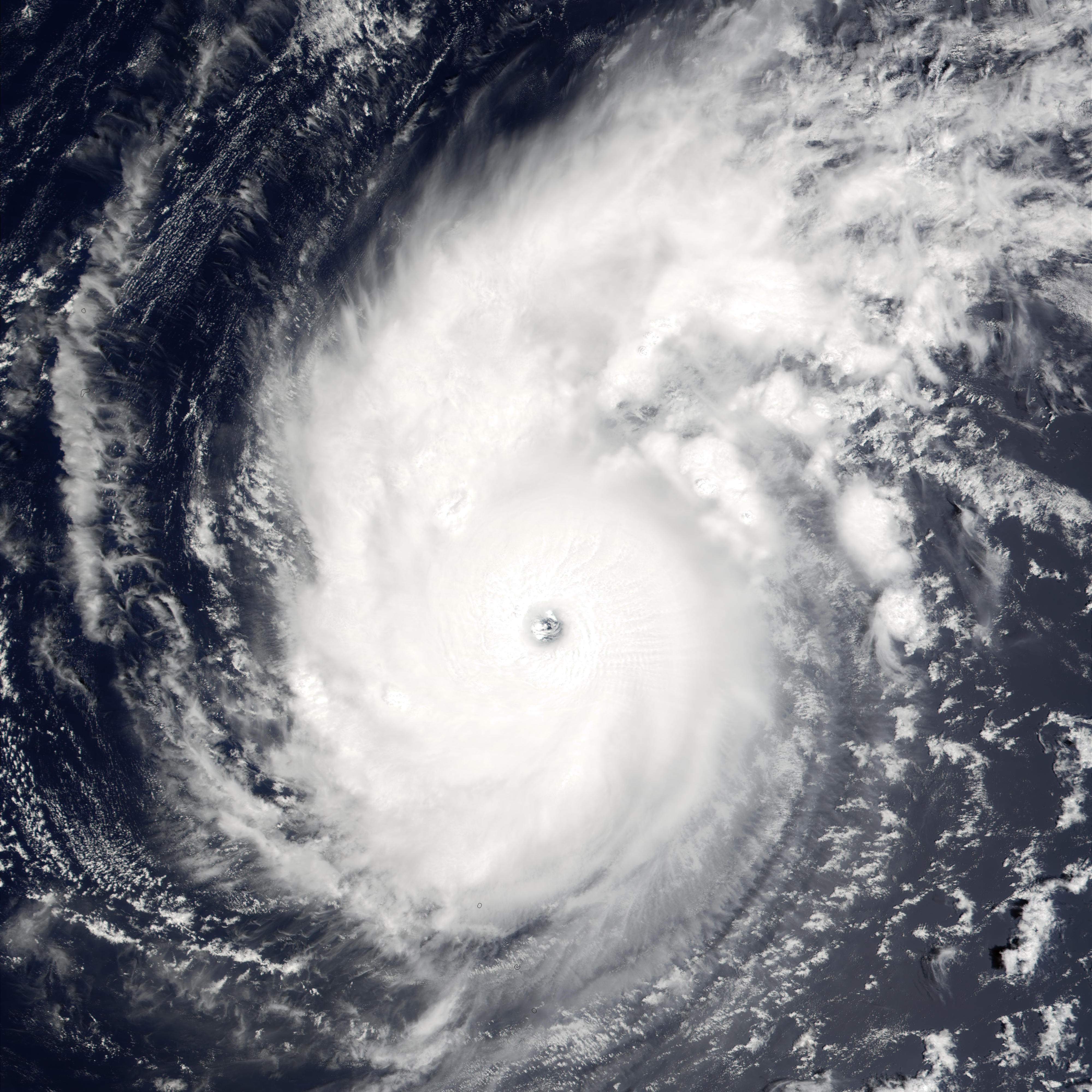
Track=Wutip 2001 track.pngAugust 27
Dissipated=September 3
10-min winds=90
1-min winds=130
Pressure=930Tropical Storm Sepat
Infobox Hurricane Small
Basin=WPac
Track=Sepat 2001 track.pngAugust 27
Dissipated=August 30
10-min winds=45
1-min winds=45
Pressure=990Tropical Storm Fitow
Infobox Hurricane Small
Basin=WPac
Track=Fitow 2001 track.pngAugust 30
Dissipated=August 31
10-min winds=35
1-min winds=45
Pressure=990Luzon late onAugust 26 , possibly due to the remains of former Tropical Depression Jolina. Late onAugust 28 it formed into a tropical depression about convert|300|mi|km south-southwest ofHong Kong . It moved west-northwest over northeasternHainan late onAugust 29 , before becoming a tropical storm 24 hours later. Early onAugust 31 , the tropical storm began to drift north towards China. That evening, it struck Dongxing before weakening back into a tropical depression onSeptember 1 and dissipating the following day. Excessive rains fell in mainland China, with locations in Changjiang county measuring up to 831.1 mm in the 3 day period ending late on August 31. Total economic losses in Hainan were near 1.367 billion yuan. In all, 3680 houses were nearly destroyed, four died, and 3.5 million people were impacted by the weak tropical storm.Typhoon Danas
Infobox Hurricane Small
Basin=WPac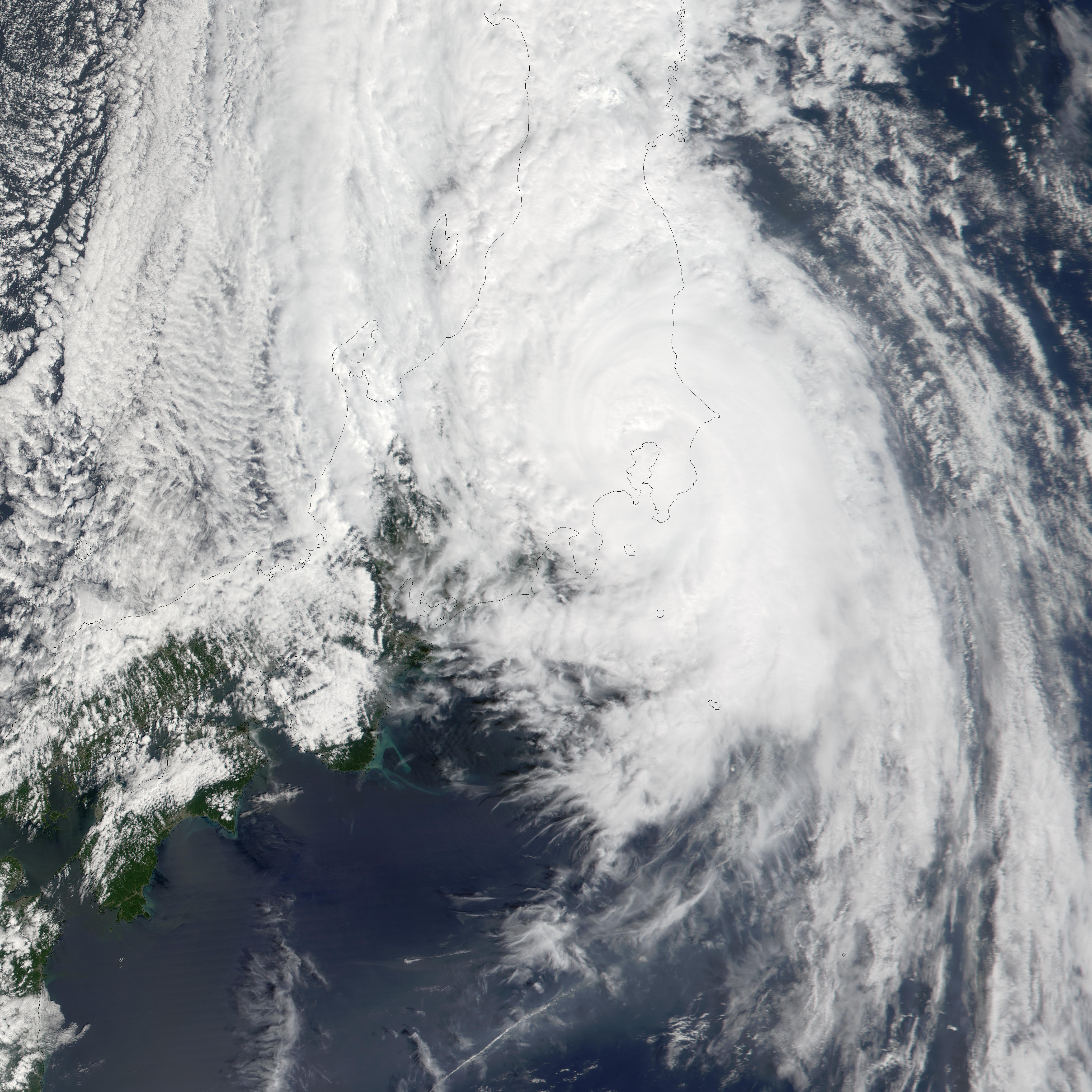
Track=Danas 2001 track.pngSeptember 4
Dissipated=September 12
10-min winds=85
1-min winds=105
Pressure=945Typhoon Nari (Kiko)
Infobox Hurricane Small
Basin=WPac
Track=Nari 2001 track.pngSeptember 6
Dissipated=September 20
10-min winds=75
1-min winds=100
Pressure=960September 5 , a tropical depression developed northeast of Taiwan. Weak currents, which were prevalent throughout its lifetime, caused it to drift to the northeast where it became a tropical storm on the 6th. Nari stalled nearOkinawa , and became a typhoon on the 7th. Over the next 5 days, Nari executed a triple loop over open waters, reaching a peak of convert|115|mi/h|km/h|abbr=on winds before weakening to a tropical storm on the 14th. It restrengthened to a typhoon, and as it continued southwestward, Nari reached convert|100|mi/h|km/h|abbr=on winds before hitting northeastern Taiwan on the 16th. The storm drifted across the island, emerging into the South China Sea on the 18th as a tropical depression. It continued westward, and finally made landfall east ofHong Kong as a convert|65|mi/h|km/h|abbr=on tropical storm on the 20th. Nari caused 92 casualties [ [http://ams.confex.com/ams/pdfpapers/75490.pdf Precipitation Processes Associated With the Landfalling Typhoon Nari (2001).] Retrieved on2007-02-25 .] and up to convert|50|in|mm of rain led to torrential flooding.Typhoon Vipa
Infobox Hurricane Small
Basin=WPac
Track=Vipa 2001 track.pngSeptember 18
Dissipated=September 21
10-min winds=65
1-min winds=75
Pressure=975Typhoon Francisco
Infobox Hurricane Small
Basin=WPac
Track=Francisco 2001 track.pngSeptember 20
Dissipated=September 25
10-min winds=85
1-min winds=100
Pressure=945Typhoon Lekima (Labuyo)
Infobox Hurricane Small
Basin=WPac
Track=Lekima 2001 track.pngSeptember 22
Dissipated=September 27
10-min winds=70
1-min winds=95
Pressure=965A depression occured in the edge of PhilippineArea of Responsibility.Therefore, it bears the name "Labuyo"derived from the Filipino word means the small chili that is smalland spicy.It moves from Philippine Sea to Batanes Group pf Islands and later,moved to Southern Taiwan and dissipates on the East China Sea.
Typhoon Krosa
Infobox Hurricane Small
Basin=WPac
Track=Krosa 2001 track.pngOctober 4
Dissipated=October 9
10-min winds=80
1-min winds=105
Pressure=950Typhoon Haiyan (Maring)
Infobox Hurricane Small
Basin=WPac
Track=Haiyan 2001 track.pngOctober 12
Dissipated=October 18
10-min winds=70
1-min winds=90
Pressure=960Typhoon Podul
Infobox Hurricane Small
Basin=WPac
Track=Podul 2001 track.pngOctober 20
Dissipated=October 28
10-min winds=100
1-min winds=140
Pressure=925Typhoon Lingling (Nanang)
Infobox Hurricane Small
Basin=WPac
Track=Lingling 2001 track.pngNovember 6
Dissipated=November 12
10-min winds=85
1-min winds=115
Pressure=940November 5 . It moved westward, hitting the Philippines on the 6th. The depression strengthened over thearchipelago , becoming a tropical storm on the 7th. Lingling continued to intensify, reaching a peak of convert|135|mi/h|km/h|abbr=on winds on the 10th in the South China Sea. The next day, the typhoon hit central Vietnam as a convert|110|mi/h|km/h|abbr=on typhoon, and dissipated on the 12th. Lingling, like most typhoons, brought torrential rains and flooding, resulting in 171 deaths in the Philippines (with 118 missing) and 18 deaths in Vietnam.Tropical Storm Kajiki (Quedan)
Infobox Hurricane Small
Basin=WPac
Formed=December 5
Dissipated=December 8
10-min winds=35
1-min winds=35
Pressure=996Typhoon Faxai
Infobox Hurricane Small
Basin=WPac.jpg)
Track=Faxai 2001 track.pngDecember 16
Dissipated=December 26
10-min winds=105
1-min winds=155
Pressure=915December 13 , a tropical depression formed in the open waters of the West Pacific. It drifted for 5 days, slowly organizing into a tropical storm on the 15th. As Faxai moved more quickly to the northwest, its wind speeds increased, becoming a typhoon on the 20th and rapidly intensifying to a peak of convert|180|mi/h|km/h|abbr=on on the 23rd. Cooler waters and upper level shear weakened it until it became extratropical on the 25th. Faxai, the strongest storm of the year, was one of the most intense December typhoons ever recorded. Fortunately, it never approached land.Initially Faxai was classified as part of Tropical Depression 31W, but post-analysis considers the early part of Faxai's life a separate storm. As such, Faxai was classified as 33W in post-analysis.
Tropical Storm Vamei
Infobox Hurricane Small
Basin=WPac
Track=Vamei 2001 track.pngDecember 27
Dissipated=December 29
10-min winds=45
1-min winds=65
Pressure=1006Singapore at 1200UTC (2000 SGT) onDecember 26 . It is extremely unusual to see tropical development this close to the equator. The initial position of 1.4° N means this storm formed only convert|85|nmi|km north of the equator. OnDecember 27 it was upgraded to Tropical Storm Vamei, and shortly thereafter it made landfall inMalaysia . Emerging into theIndian Ocean onDecember 29 as a Tropical Depression, it briefly re-strengthened before dissipating onJanuary 1 . The name Vamei was retired in 2004 and replaced with Peipah because of the unique formation and track of this storm.Other storms
Tropical Depression 01W (Auring)
Infobox Hurricane Small
Basin=WPac
WarningCenter=PAGASA
Track=1-W 2001 track.pngFebruary 18
Dissipated=February 20
10-min winds=30
1-min winds=25
Pressure=1004Tropical Depression 02W (Barok)
Infobox Hurricane Small
Basin=WPac
WarningCenter=PAGASA
Track=2-W 2001 track.pngApril 18
Dissipated=April 19
10-min winds=25
1-min winds=25
Pressure=1004Tropical Depression Darna
Infobox Hurricane Small
Basin=WPac
WarningCenter=PAGASA
Formed=June 16
Dissipated=June 19
10-min winds=30
Pressure=1000Tropical Depression 08W
Infobox Hurricane Small
Basin=WPac
Track=8-W 2001 track.pngJuly 10
Dissipated=July 11
1-min winds=25
Pressure=1002Tropical Depression Jolina
Infobox Hurricane Small
Basin=WPac
WarningCenter=PAGASA
Formed=August 16
Dissipated=August 19
10-min winds=30
Pressure=1000Three circulations developed in a monsoon trough in the South China Sea in mid-August. The third formed into a tropical depression which remained stalled west of Luzon betweenAugust 16 and 19. It was last seen as an exposed surface circulation virtually where it formed onAugust 21 .Tropical Storm 15W
Infobox Hurricane Small
Basin=WPac
Track=15-W 2001 track.pngAugust 24
Dissipated=August 25
1-min winds=30
Pressure=998Tropical Storm 28W (Ondoy)
Infobox Hurricane Small
Basin=WPac
WarningCenter=PAGASA
Track=28-W 2001 track.pngNovember 16
Dissipated=November 24
10-min winds=40
1-min winds=35
Pressure=997Tropical Storm 29W (Pabling)
Infobox Hurricane Small
Basin=WPac
WarningCenter=PAGASA
Track=29-W 2001 track.pngNovember 18
Dissipated=November 23
10-min winds=30
1-min winds=35
Pressure=997Tropical Storm 31W
Infobox Hurricane Small
Basin=WPac
Track=31-W 2001 track.pngDecember 10
Dissipated=December 12
1-min winds=35
Pressure=997torm names
Western North Pacific tropical cyclones are named by the RSMC Tokyo-Typhoon Center of the
Japan Meteorological Agency . Names are selected from the following sequential list, there is no annual list. Names were contributed by 13 members of theESCAP/WMO Typhoon Committee , except forSingapore . The 13 nations or territories, along withMicronesia , each submitted 10 names, which are used in alphabetical order by the English name of the country. The first storm of 2001 was named Cimaron and the final one was named Vamei.This is the only time that the name "Vipa" was used. Its spelling was corrected to "Wipha" in 2002.cite web|url=http://www.wmo.ch/pages/prog/www/tcp/documents/TCP-23EDITION2007.pdf|format=PDF|pages=36|publisher=Wprld Meteorological Organization|title=Typhoon Committee Operational Manual Meteorological Component|accessdate=2007-09-16]
Philippines
The
Philippine Atmospheric, Geophysical and Astronomical Services Administration (PAGASA) uses its own naming scheme for tropical cyclones within its area of responsibility. Lists are recycled every four years. Starting 2001, new sets of names are implemented.ee also
*
List of Pacific typhoon seasons
*2001 Pacific hurricane season
*2001 Atlantic hurricane season
*2001 North Indian Ocean cyclone season
*South-West Indian Ocean cyclone seasons: 2000-01, 2001-02
*Australian region cyclone seasons: 2000-01, 2001-02
*South Pacific cyclone seasons: 2000-01, 2001-02References
External links
* [http://www.jma.go.jp/jma/jma-eng/jma-center/rsmc-hp-pub-eg/AnnualReport/2001/Text/Text2001.pdf 2001 Annual Report from RSMC Tokyo-Typhoon Center]
* [http://www.typhoon2000.ph Typhoon2000 Philippine typhoon website] .
* [http://www.typhoon2000.ph/plotting/PhilippineTyphoonChart.gifPhilippine Area of Responsibility] .
* [https://metocph.nmci.navy.mil/jtwc.html Joint Typhoon Warning Center] .
* [http://www.weather.gov.hk/informtc/sound/tc_pronunciatione.htm Meaning of Tokyo Typhoon Centre names] .
Wikimedia Foundation. 2010.