- D'Aguilar Range
-
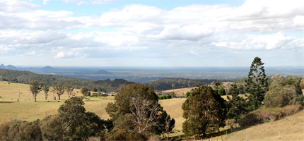
D'Aguilar Range  Looking towards the Glass House Mountains from Camp Mountain
Country Australia State Queensland Region South East Queensland Highest point Tenison Woods Mountain - elevation 770 m (2,526 ft) The D'Aguilar Range is a mountain range near Brisbane, Queensland, Australia. The town of Dayboro is situated on the lower foothills midway along the range and Woodford lies at the northern most point of the range. Many residential areas line its eastern slopes including the town of Samford and the Brisbane suburb of Ferny Hills. In the west, numerous ridges and gullies are heavily forested and designated as state forest or national park.[1]
Contents
Mountains
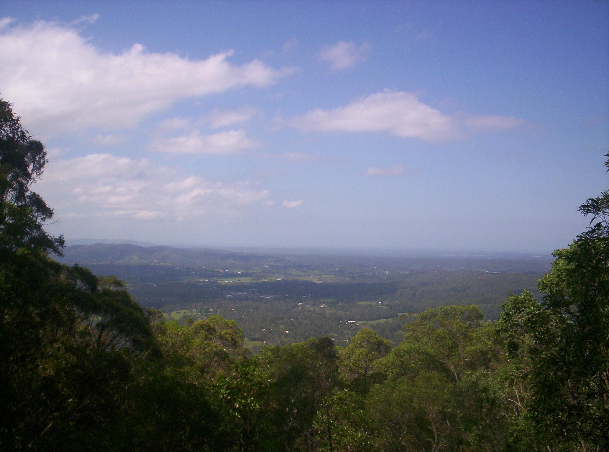
 View from Mount Mee
The D'Aguilar Range stretches from Caboolture 45 kilometres north of Brisbane, Queensland, through to Brisbane, where part of the D'Aguilar Range is covered by a protected parkland called the Brisbane Forest Park.
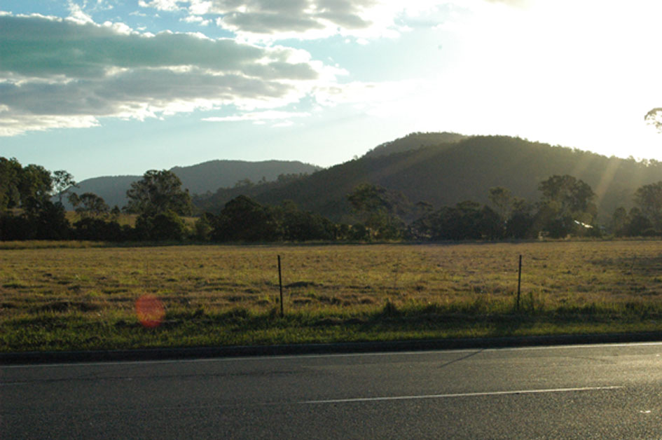
 Eastern foothills in Samford Valley.
Mountains in the range include Camp Mountain, Mount Nebo, Mount Pleasant, Mount Glorious, Mount Samson and Mount Mee. Directly to the south in the west of Brisbane is the Taylor Range, sometimes considered an eastern spur of the D'Aguilar Range. Further north, highly visible from the D'Aguilar Ranges, are the Glass House Mountains.
Mount D'Aguilar at 750 m above sea level is the second highest peak in the range. The highest point is Tenison Woods Mountain at 770 m.[1] This peak is not distinct and is not marked on old maps. The Congregation of the Sisters of Perpetual Adoration created a plaque on the summit to commemorate the naming of the mountain in 1974.[1] The year also marked the centenary of their order which was founded by J.E. Tenison Woods. Mermaid Mountain is the highest point in the southern sections at 396 m in elevation.[1] Well known lookouts on the range include McAfee's Lookout and Jolly's Lookout, both of which have views east across to Moreton Bay.[1]
Catchments
The North Pine River, including Lake Kurwongbah, South Pine River and Caboolture Rivers flow from the range towards the east. To the north and west are the Stanley River and tributaries that flow directly into the Somerset Dam and Wivenhoe Dam catchments. In the southern parts of the range Enoggera Creek, which is dammed by the Enoggera Dam, flows to the east. Gold Creek in the same area flows south into Moggill Creek after being dammed by the Gold Creek Reservoir. Further to the west is Cabbage Tree Creek and the reservoir known as Lake Manchester.
Industry
Timber logging on the range was instrumental in the development of Dayboro. Operations expanded in the 1870s as loggers removed hoop pine, cedar, silky oak and black bean.[2]
See also
References
- ^ a b c d e Horton, Helen (1988). Brisbane's Back Door: The story of the D'Aguilar Range. Bowen Hills, Queensland: Boolarong Publications. pp. 1—8. ISBN 086439036 X.
- ^ Environmental Protection Agency (Queensland) (2000). Heritage Trails of the Great South East. State of Queensland. pp. 158. ISBN 0-7345-1008-X.
External links
Coordinates: 27°07′57″S 152°47′20″E / 27.1325°S 152.7889°E
Categories:- Mountain ranges of Queensland
Wikimedia Foundation. 2010.