- Kengtung
-
Kengtung
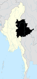
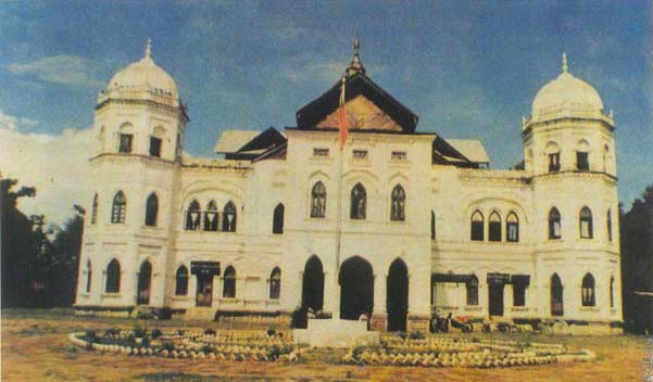
Kyaingtong— Town — The 'Sawbwa Palace, a historic landmark, was destroyed in 1991 by the Burmese government. Location in Burma
 Kengtung
Coordinates: 21°17′30″N 99°36′30″E / 21.29167°N 99.60833°ECoordinates: 21°17′30″N 99°36′30″E / 21.29167°N 99.60833°E Country  Burma
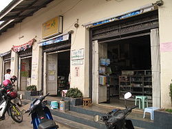
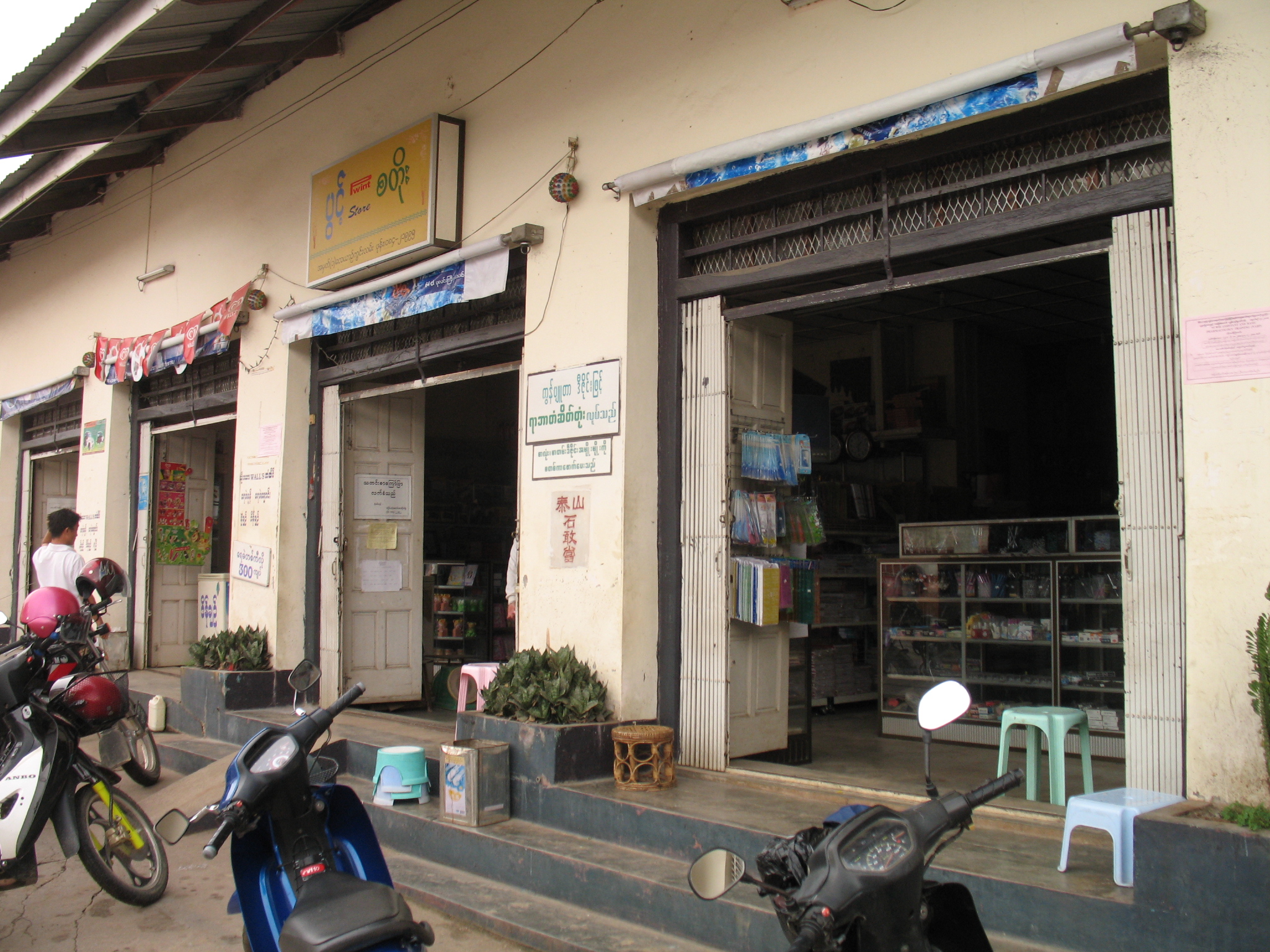
BurmaRegion Shan State District Kengtung District Township Kengtung Township Time zone MST (UTC+6.30) Kengtung (Shan: ၵဵင်းတုင်; Burmese: ကျိုင်းတုံမြို့; MLCTS: kyuing: tum mrui., pronounced [tɕáiɴtòuɴ mjo̰]; also spelled Kyaingtong, Chiang Tung, Cheingtung, and Kengtong) is a town in Shan State, Burma. It is the principal town of Kengtung Township. It lies along National Highway 4.
There is an airport in Kengtung.
Contents
History
Kengtung was founded by the grandson of King Mangrai. This migration of the Chiangmai dynasty, made in the 13th century with the idea of founding a new kingdom which called Lannathai in Chiang Mai, has resulted in Kengtung having a different type of Tai population from the rest of the Shan State.
Kengtung, like other major towns in the Shan Plateau, was home to a Shan Saopha. Kengtung was the base of the Kengtung Sawbwanate, and had a Sawbwa palace, built by Sao Kawng Kiao Intaleng in 1905.
The city was occupied by the Thai Phayap Army from 1942 until the end of the Second World War.
It is home to the Kyaingtong Degree College.
Geography
Kengtung contains several lakes. The largest, Naung Tung Lake, lies in the western part of the city, followed by Naung Kham Lake and Naung Yarng Lake to the south of the Kentung Roman Catholic Mission.
Climate
Climate data for Kengtung Month Jan Feb Mar Apr May Jun Jul Aug Sep Oct Nov Dec Year Average high °C (°F) 26.7
(80.1)29.2
(84.6)32.0
(89.6)33.0
(91.4)32.3
(90.1)30.4
(86.7)29.6
(85.3)29.4
(84.9)29.6
(85.3)28.7
(83.7)27.2
(81.0)25.7
(78.3)29.48
(85.07)Average low °C (°F) 9.6
(49.3)10.8
(51.4)14.0
(57.2)18.2
(64.8)21.2
(70.2)22.1
(71.8)21.7
(71.1)21.5
(70.7)20.6
(69.1)18.6
(65.5)15.2
(59.4)11.0
(51.8)17.04
(62.68)Precipitation mm (inches) 16.0
(0.63)8.0
(0.315)16.0
(0.63)43.0
(1.693)160.0
(6.299)175.0
(6.89)236.0
(9.291)243.0
(9.567)171.0
(6.732)128.0
(5.039)79.0
(3.11)23.0
(0.906)1,298
(51.1)Source: HKO See also
Bibliography
- J. G. Scott, Gazetteer of Upper Burma and the Shan States. 5 vols. Rangoon, 1900-1901.
- Sao Sāimöng Mangrāi, The Pādaeng Chronicle and the Kengtung State Chronicle Translated. University of Michigan, Ann Arbor, 1981
External links
- The Happy City, a 1959 film on a remote leper colony run by Father Cesare Columbo in Kengtung, Shan State
- pictures from Kengtung
Shan State Capital: Taunggyi Taunggyi District 
Loilem District Loilem Township · Nansang Township · Kunhing Township · Lai-Hka Township · Kyethi Township · Mong Kung Township · Mong Hsu TownshipLashio District Mu Se District Kyaukme District Kunlong District Kengtung District Mong Hsat District Tachileik District Mong Hpayak District Langkho District Danu Self-Administered Zone Pa-O Self-Administered Zone Pa Laung Self-Administered Zone Kokang Self-Administered Zone Konkyan Township · Laukkaing TownshipWa Self-Administered Division Hopang Township · Mongmaw Township · Panwai Township · Nahpan Township · Metman Township · Pangsang TownshipMain cities and towns Taunggyi · Ayetharyar · Nyaungshwe · Hopong · Hsi Hseng · Kalaw · Aungban · · Lawksawk · Pinlaung · Pekon · Loilen · Pang Long · Langkho · Nansang · Kunhing · Mong Nai · Lai-Hka · Mawkmai · Mong Pan · Hong Pai · Kyethi · Mong Kung · Mong Hsu · Mong Ton · Lashio · Hseni · Mongyai · Tangyan · Muse · Mongko · Nanhkan · Kutkai · Kyaukme · Nawnghkio · Hsipaw · Namtu · Namhsan · Mongmit · Mabein · Mantong · Kunlong · Hopang · Laukkaing · Chinshwehaw · Kengtung · Mong Khet · Mong Yang · Mong Hsat · Mong Ping · Tachileik · Mong Hpayak · Mong YawngCategories:- Populated places in Shan State
- Township capitals of Burma


Wikimedia Foundation. 2010.