- Fauscoum
-
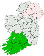
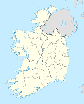
Fauscoum Fáschom Waterford,  Ireland
Elevation 792 m (2,598 ft) Parent peak Knockmealdown Location Range Comeragh Mountains Coordinates 52°14′32″N 7°32′17″W / 52.24222°N 7.53806°WCoordinates: 52°14′32″N 7°32′17″W / 52.24222°N 7.53806°W Topo map OSi Discovery 75 Fauscoum (Irish: Fáschom) is a mountain in County Waterford, Ireland. It is the highest mountain of the Comeragh Mountain Range and the second highest mountain in County Waterford after Knockmealdown.
References
- "Over Fauscoum, Ireland". Peakbagger.com. http://www.peakbagger.com/peak.aspx?pid=9017.
- "Fauscoum". Mountainviews.ie.
Mountains and hills of Munster Ballyhoura Mountains Carron Mountain • Seefin
Boggeragh Mountains Caha Mountains Hungry Hill • SugarloafComeragh Mountains FauscoumDerrynasaggart Mountains Dingle Peninsula Benoskee • BrandonGaltee Mountains Galteemore • LyracappulIveragh Peninsula BenteeKnockmealdown Mountains Macgillycuddy's Reeks Mangerton Mountains Shehy Mountains Silvermine Mountains Slieve Mish Mountains Bartregaum • CaherconreeSlieve Miskish Mountains Others An Triúr Deirfiúr • Devil's Bit • Geokaun Mountain • Mount Gabriel • Mullaghareirk Mountains • Paps of Anu • Purple Mountain • Slieve Aughty • Slievecallan • SlievenamonCategories:- Mountains and hills of County Waterford
- Ireland geography stubs
Wikimedia Foundation. 2010.

