- Opeongo River Provincial Park
-
Opeongo River Provincial Park Protected Area Country Canada Ontario Ontario Region Northeastern Ontario District Nipissing Coordinates 45°34′54″N 77°53′39″W / 45.58167°N 77.89417°W Area 965 ha (2,385 acres) IUCN category II - National Park 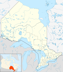
 Location of Opeongo River Provincial Park in Ontario
Website: www.ontarioparks.com/english/opeo.html Opeongo River Provincial Park is a non-operating waterway park in Nipissing District in northeastern Ontario, Canada.[1] It incorporates those portions of the Opeongo River from its exit from Algonquin Provincial Park to the river's mouth at the Madawaska River, except for a small portion around Victoria Lake. The park has two access points: from Ontario Highway 60 west of the community of Madawaska; and the Shall Lake access point, north of Victoria Lake, in Algonquin Provincial Park.
References
Other map sources:
- McMurtrie, Jeffrey (2008). "Algonquin Provincial Park and the Haliburton Highlands". Wikimedia Commons. http://commons.wikimedia.org/wiki/File:Algonquin_Map_2008_-_Version_1.0_-_Smaller_rs.jpg. Retrieved 2011-08-08.
- Ministry of Transportation of Ontario (2010-01-01) (PDF). Map 9 (Map). 1 : 700,000. Official road map of Ontario. http://www.mto.gov.on.ca/english/traveller/map/images/pdf/southont/sheets/Map9.pdf. Retrieved 2011-08-08.
External links
Categories:- Provincial parks in Ontario
- Geography of Nipissing District, Ontario
- Northern Ontario geography stubs

Wikimedia Foundation. 2010.