- Ongkharak District
-
Ongkharak
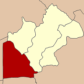
องครักษ์— Amphoe — Amphoe location in Nakhon Nayok Province
Coordinates: 14°7′17″N 101°0′14″E / 14.12139°N 101.00389°ECoordinates: 14°7′17″N 101°0′14″E / 14.12139°N 101.00389°E Country  Thailand
Province Nakhon Nayok Seat Tambon Muban Amphoe established Area – Total 486.4 km2 (187.8 sq mi) Population (2005) – Total 58,294 – Density 119.8/km2 (310.3/sq mi) Time zone THA (UTC+7) Postal code 26120 Geocode 2604 Ongkharak (Thai: องครักษ์) is a district (Amphoe) in the western part of Nakhon Nayok Province, central Thailand.
Ongkharak means the royal guard. Once King Chulalongkorn (Rama V) visited Mueang Nakhon Nayok. When he and his company arrived the area of Ongkharak district, one of the royal guard was sick and died finally. Then the king ordered to build a shrine to commemorate in the area.
Contents
History
The old district office of Ongkharak was located in Tambon Bang O (now in Ban Na district). In 1889 King Chulalongkorn ordered to build Khlong Rangsit that link the Chao Phraya and Nakhon Nayok Rivers. The water gate in the Chao Phraya River was named Chulalongkorn Water Gate (ประตูน้ำจุฬาลงกรณ์), and its corresponding gate in the Nakhon Nayok River was named Saovabha Bhongsi Water Gate (ประตูน้ำเสาวภาผ่องศรี). The district office was moved to nearby the 16th Khlong of Khlong Rangsit. 20 years later, the office was moved to a place next to the Saovabha Bhongsi Water Gate. Now the district office is located behind Saovabha Market, 500 m from the old office.
Geography
Neighboring districts are (from the northeast clockwise) Ban Na and Mueang Nakhon Nayok of Nakhon Nayok Province, Ban Sang of Prachinburi Province, Bang Nam Priao of Chachoengsao Province, Lam Luk Ka, Thanyaburi and Nong Suea of Pathum Thani Province.
The important water resource is the Nakhon Nayok River and Khlong Rangsit.
Education
Srinakharinwirot University, Ongkharak campus is located in the district.
Administration
The district is subdivided into 11 subdistricts (tambon), which are further subdivided into 116 villages (muban). The township (thesaban tambon) Ongkharak covers parts of the tambon Ongkharak and Sai Mun. There are further 11 Tambon administrative organizations (TAO).
No. Name Thai name Villages Inh. 1. Phra Achan พระอาจารย์ 13 6,190 2. Bueng San บึงศาล 9 4,945 3. Sisa Krabue ศีรษะกระบือ 13 6,635 4. Pho Thaen โพธิ์แทน 9 4,330 5. Bang Sombun บางสมบูรณ์ 13 3,659 6. Sai Mun ทรายมูล 11 5,166 7. Bang Pla Kot บางปลากด 11 6,578 8. Bang Luk Suea บางลูกเสือ 12 3,708 9. Ongkharak องครักษ์ 7 7,302 10. Chumphon ชุมพล 8 4,733 11. Khlong Yai คลองใหญ่ 10 5,048 Sources
Categories:- Amphoe of Nakhon Nayok
- Central Thailand geography stubs
Wikimedia Foundation. 2010.