- Oneida Corners, New York
-
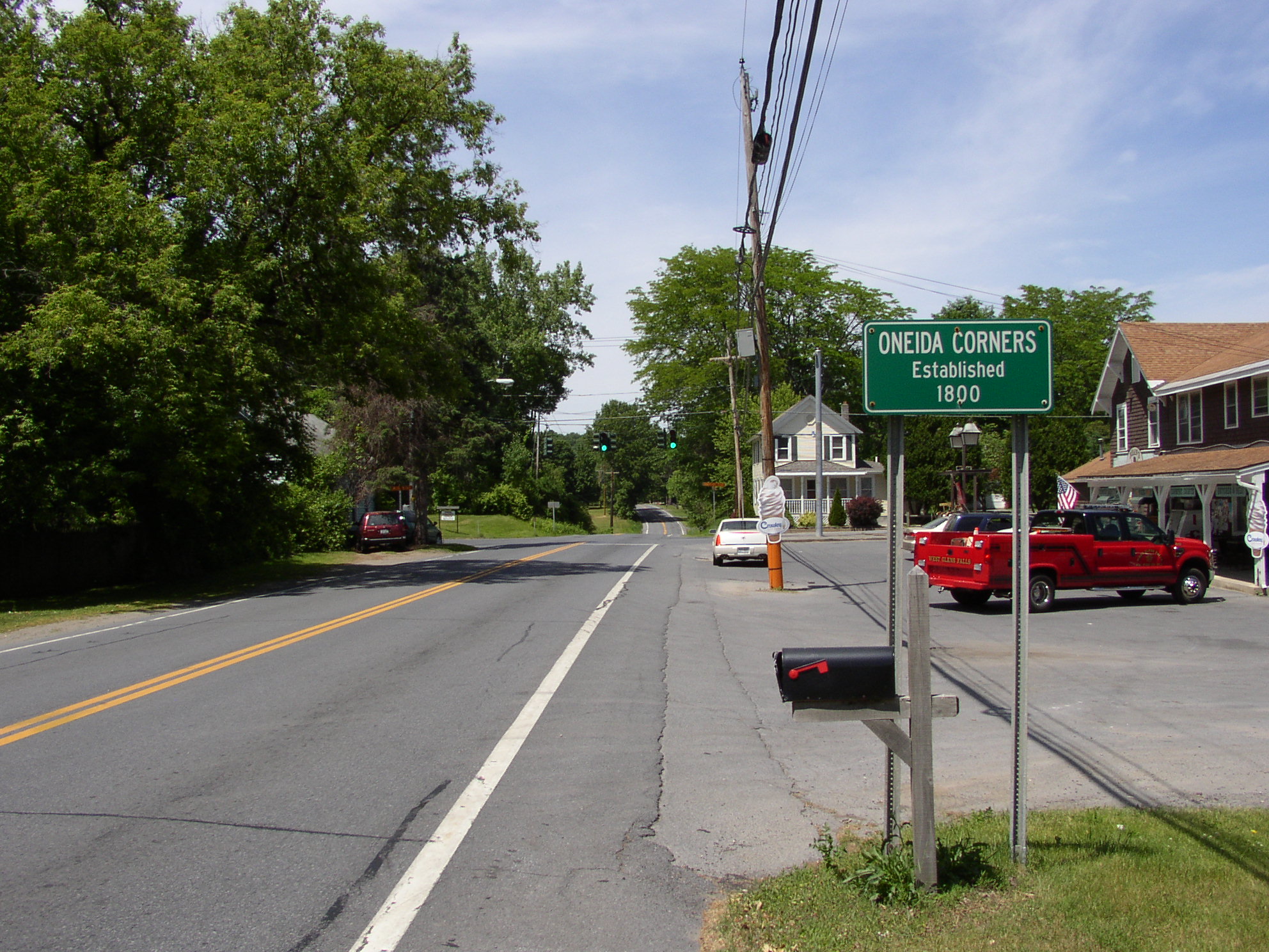
Oneida Corners — Hamlet — Sign along New York State Route 9L indicating Oneida Corners.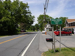 Location within the state of New York
 Oneida Corners
Coordinates: 43°22′31″N 73°37′44″W / 43.37528°N 73.62889°WCoordinates: 43°22′31″N 73°37′44″W / 43.37528°N 73.62889°W Country United States State New York County Warren Town Queensbury unincorporated circa 1800 Elevation 376 ft (115 m) Time zone Eastern (EST) (UTC-5) – Summer (DST) EDT (UTC-4) Area code(s) 518 Oneida Corners is a hamlet within the town of Queensbury in Warren County in the U.S. state of New York.[1]
Contents
Geography
Oneida Corners is situated at the intersection of New York State Route 9L (Ridge Road), extending west along County Route 54 (Sunnyside Road) and east along County Route 39 (Sunnyside Road East).[1][2]
History
Around the time of the American Revolutionary War, the hamlet was a prominent settlement featuring two inns, three shops, a lumber business, mechanic shops, and a church. Court was held at least once weekly in the hamlet. Shortly before the war, an Oneida Indian by the name of Thomas Hammond ran a thriving business at the corner. His establishment being a frame of reference, the area came to be known as "the Oneidas" — and later as Oneida Corners — around 1800.[1][3]
References
- ^ a b c VanDyke, Marilyn. "Oneida Hamlet". Town of Queensbury, Historian. http://www.queensbury.net/Historian/Oneida/index.htm. Retrieved 2009-03-22.
- ^ Yahoo!, Inc.. Map showing Oneida Corners (Map). Cartography by NAVTEQ. http://maps.yahoo.com/#mvt=m&lat=43.375425&lon=-73.628991&zoom=16. Retrieved 2009-06-08.
- ^ "An Open Space Vision for the Town of Queensbury" (PDF). Town of Queensbury Open Space Plan Committee, et. al.. 2003-07-07. p. 22 / PDF p. 25. http://www.queensbury.net/OS/Open%20Space%20Vision%20Plan.pdf#page=25. Retrieved 2010-07-12.
External links
Municipalities and communities of Warren County, New York City 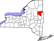
Towns Bolton | Chester | Hague | Horicon | Johnsburg | Lake George | Lake Luzerne | Queensbury | Stony Creek | Thurman | Warrensburg
Village CDPs Other
hamletsBolton Landing | Brant Lake | Chestertown | East Lake George‡ | Kattskill Bay | North Creek | North River | Oneida Corners | Riparius | Silver Bay
Footnotes ‡This populated place also has portions in an adjacent county or counties
Categories:- Hamlets in New York
- Queensbury, New York
- Glens Falls metropolitan area
- Populated places in Warren County, New York
- New York geography stubs


Wikimedia Foundation. 2010.