- Ojinaga
-
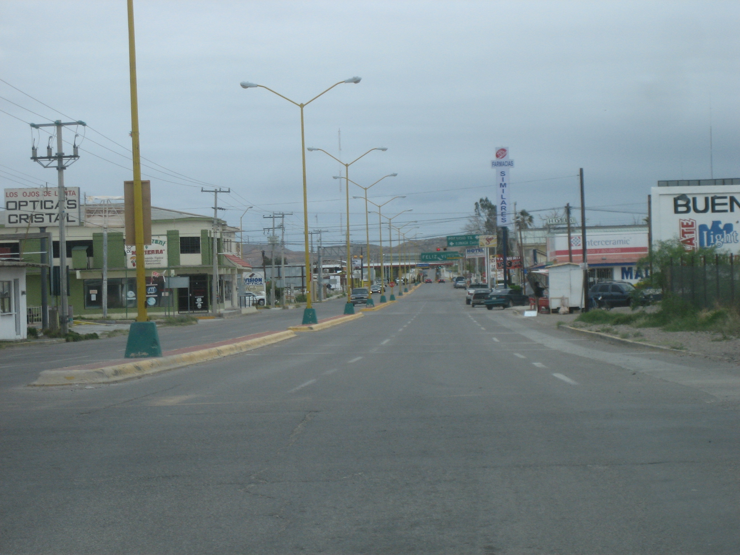
Ojinaga — Town — North to border crossing on Blv. Libre Comercio in Ojinaga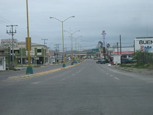 Location in Mexico
 Ojinaga
Coordinates: 29°33′52″N 104°24′59″W / 29.56444°N 104.41639°WCoordinates: 29°33′52″N 104°24′59″W / 29.56444°N 104.41639°W Country  Mexico
State Chihuahua Municipality Ojinaga Elevation 800 m (2,625 ft) Population (2010) - Total 22,744 Ojinaga (Manuel Ojinaga) is a town and seat of the municipality of Ojinaga, in the northern Mexican state of Chihuahua. As of 2010, the town had a total population of 22,744.[1] It is a rural bordertown on the U.S.-Mexico border, with the city of Presidio, Texas, directly opposite, on the U.S. side of the border. Ojinaga is situated where the Río Conchos drains into the Río Bravo del Norte (Rio Grande). Presidio and Ojinaga are connected by the Presidio-Ojinaga International Bridge.
Contents
History
Ojinaga was founded around AD 1200 by the Pueblo Native Americans, who were later assimilated by Uto-Aztecan speakers. Ojinaga was first visited by Spanish explorers (led by Álvar Núñez Cabeza de Vaca) in 1535.
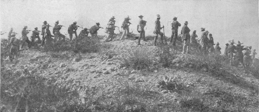
 Battle in Ojinaga with general Ortega's troops opening fire on federals.
During the Mexican Revolution, Ojinaga was the scene of the Battle of Ojinaga, between Pancho Villa's revolutionaries and government troops. The U.S. writer Ambrose Bierce may have died there, although that is uncertain.
Culture
Considered one of the most unspoiled Mexican border towns[citation needed], Ojinaga still retains its rural culture and environment, with relatively little pollution and urban problems. Some of the most famous norteño musicians are from Ojinaga, such as Polo Urías, Adolfo Urías, Los Diamantes de Ojinaga, Los Rieleros del Norte, Conjunto Primavera, Los Jilgueros del Arroyo, and Los Norteños de Ojinaga. These artists, unlike many other norteño bands who use solely accordions as the lead instrument, use saxophones and accordions together to create a uniquely Ojinaga-styled norteño music.
Location
Because of its location on the Río Bravo border between Chihuahua and the U.S. state of Texas, Ojinaga has sometimes been a station for narcotic smuggling and illegal immigration. The creation of the "La Entrada al Pacífico" or "The Entrance to the Pacific", has made Ojinaga and Presidio, Texas, into a proposed inland trade corridor between the two countries. The route extends into Odessa-Midland, Texas, which is the major hub for west Texas. Odessa and Midland which have 100,000 people each will benefit greatly from this corridor. Several changes have also had to be made to the port of entry in Presidio, Texas, to accommodate the growing amount of traffic crossing the border. Truck lanes for heavy vehicles have also been added.
Economy
Ojinaga serves as a support center and market community for the surrounding area. Though it is on the border Ojinaga has drawn little benefit in the form of maquiladoras. Selkirk has a plant which makes chimney, venting and air distribution products. Solitaire Homes has established a factory for producing prefabricated homes. There are about 15,000 acres (61 km2) used for agriculture the largest area is in cattle pasture, the main crops are soy, cotton, corn, wheat, onions, peanuts, canteloupes and vegetables. There are mineral deposits which consist of lead, silver, coal, zinc, manganese, marble and uranium which are found here.
External links
See also
References
- ^ 2010 census tables: INEGI Retrieved on April 29, 2011
 State of Chihuahua
Chihuahua (capital) Cities Ciudad Chihuahua • Ciudad Cuauhtémoc • Ciudad Juárez • Delicias • Parral
Municipalities Sights Categories:- Rio Conchos
- Populated places in Chihuahua


Wikimedia Foundation. 2010.