- Norwegian County Road 17
-
17
Fylkesvei 17Kystriksveien (Coastal Highway) 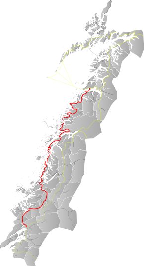
Map of the roadRoute information Length: 630 km (390 mi) Major junctions North end: Bodø, Nordland South end: E6 Steinkjer, Nord-Trøndelag Highway system County Road 17 (Norwegian: Fylkesvei 17), also known as the Coastal Highway (Norwegian: Kystriksveien), is a Norwegian highway that runs from Bodø in Nordland county (in the north) to Steinkjer in Nord-Trøndelag county (in the south). It is 630 kilometres (390 mi) long and includes six ferry crossings. The road runs along the coast of Nordland and Nord-Trøndelag counties through 28 different municipalities. This road is a much more scenic, albeit longer and more time-consuming, route than the inland European Route E6 highway.[1]
Prior to 1 January 2010, this was National Road 17 (Norwegian: Riksvei 17), but control and maintenance of the road was transferred to the counties from the national government on that date, so now it is a county road.
Media gallery
-
Fv17 crosses Saltstraumen
-

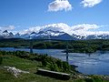
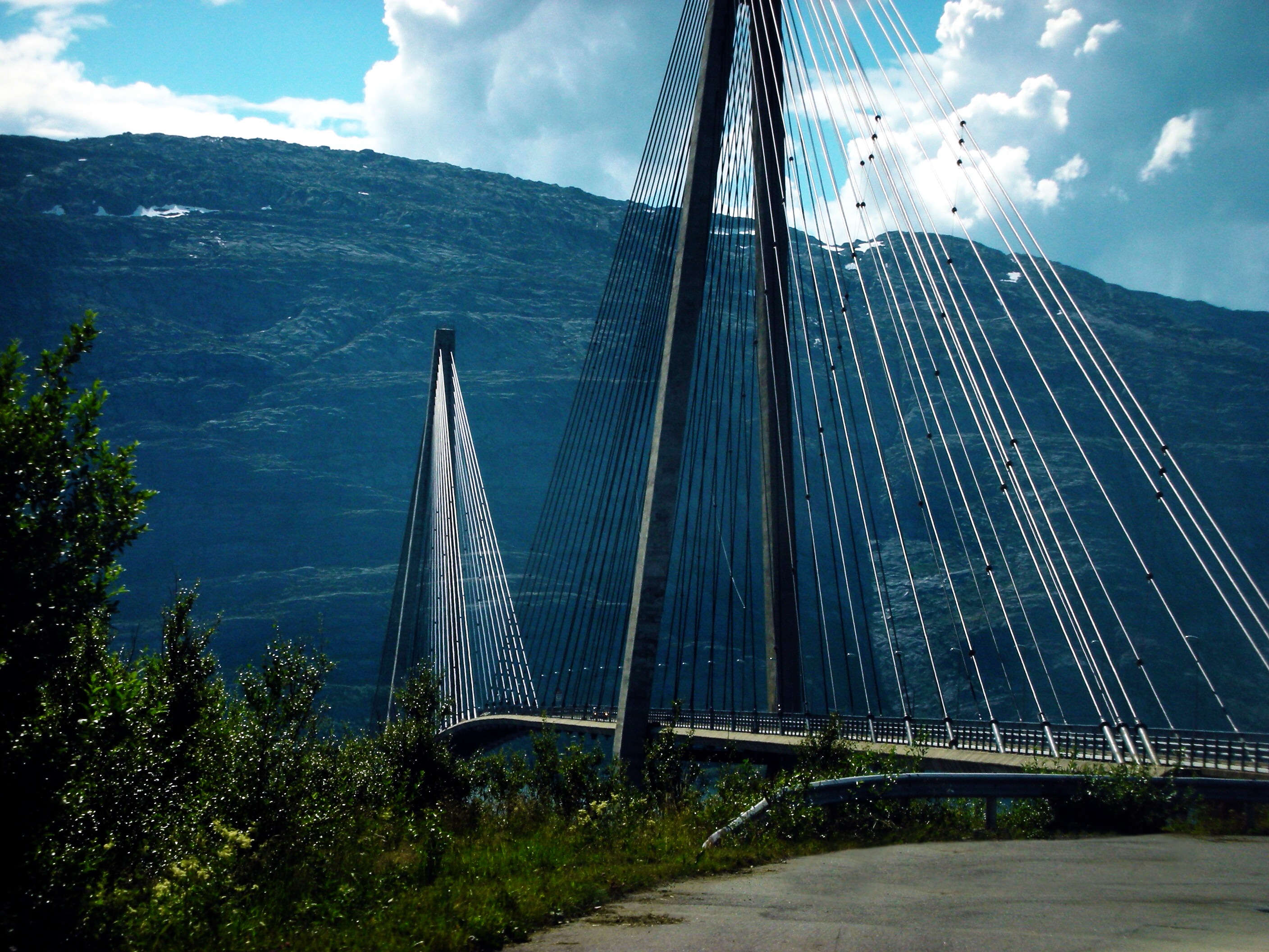
The Helgeland Bridge north of Sandnessjøen
-
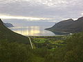
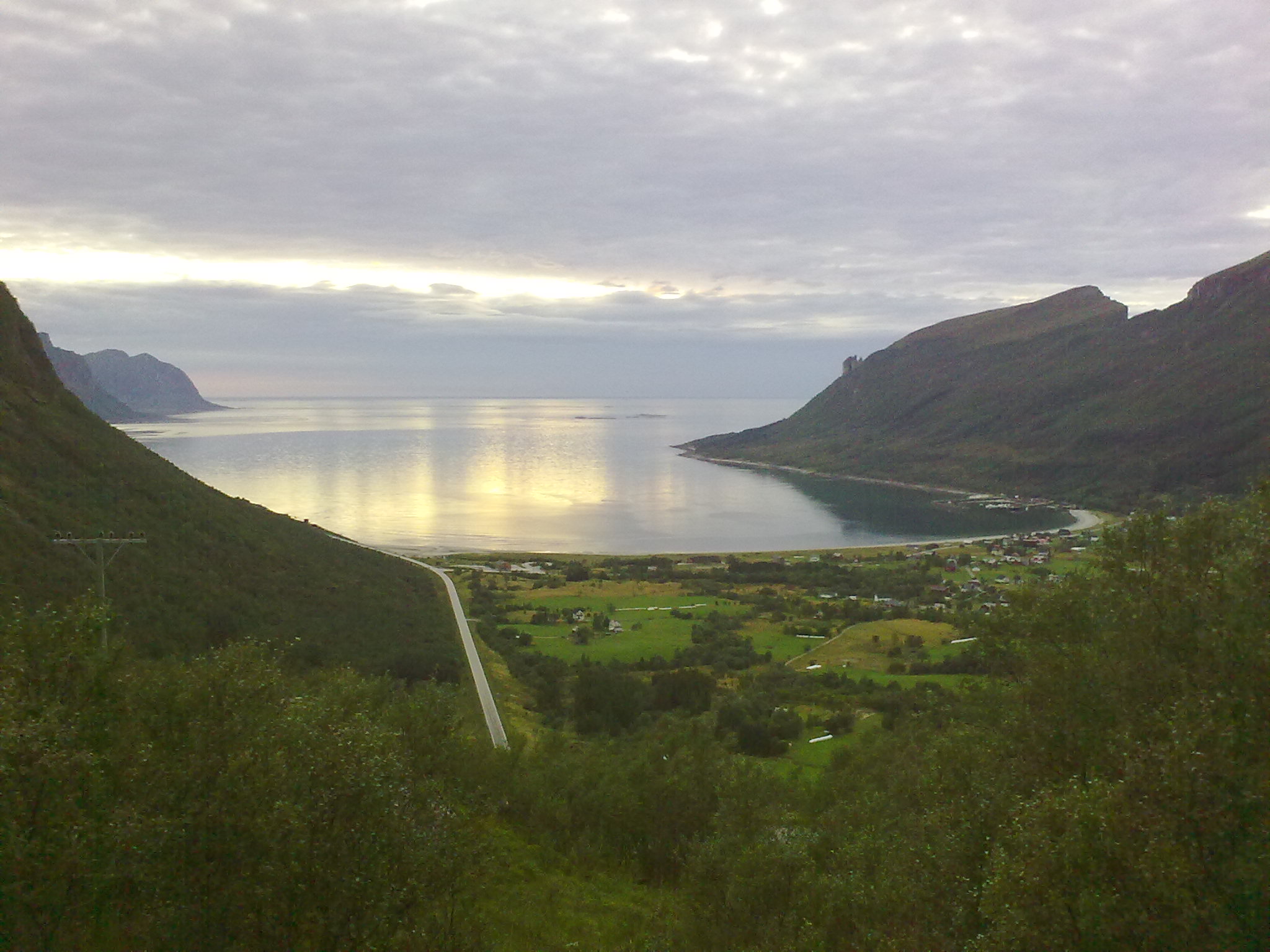
Storvik bay
-
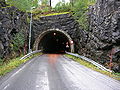
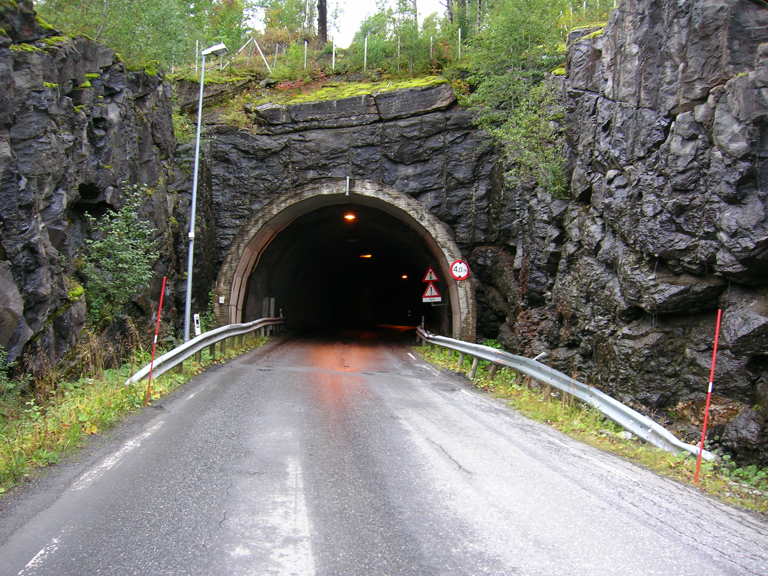
Sjøna tunnel in Rana
References
- ^ "Kystriksveien - the coastal route". http://www.kystriksveien.no/?page=kystriksveien&del=1. Retrieved 2011-07-17.
External links
 Media related to Fylkesvei 17 at Wikimedia Commons
- Kystriksveien (VisitNorway.com)
National Tourist Routes in Norway Andøya (974 · 976 · 82) · Atlantic Ocean Road (64 · 242 · 663 · 235 · 238) · Aurlandsfjellet · Gamle Strynefjellsvegen · Gaularfjellet · Geiranger–Trollstigen · Hardanger (7 · 550 · 13) · Havøysund · Helgeland Coast · Jæren (44, 507) · Lofoten · Rondane · Ryfylke (13 · 46 · 520) · Senja (86 · 862) · Sognefjellsvegen · Valdresflye · Varanger (E75 · 341) Categories:
- Norwegian county roads
- Former Norwegian national roads
- Roads in Nord-Trøndelag
- Roads in Nordland
- Norwegian County Road 17
- National Tourist Routes in Norway
- Norway road stubs
-


Wikimedia Foundation. 2010.