- Northington Down
-
Coordinates: 51°08′00″N 1°12′35″W / 51.133295°N 1.2097849°W
Northington Down 
 Northington Down
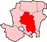
Northington Down shown within HampshireOS grid reference SU5538837410 District Winchester Shire county Hampshire Region South East Country England Sovereign state United Kingdom Post town ALRESFORD Postcode district SO24 Police Hampshire Fire Hampshire Ambulance South Central EU Parliament South East England UK Parliament Winchester List of places: UK • England • Hampshire Northington Down is a hamlet in the civil parish of Northington in the City of Winchester district of Hampshire, England. Its nearest town is New Alresford, which lies approximately 4.2 miles (6.8 km) south-east from the hamlet.
Categories:- Hampshire geography stubs
- Civil parishes in Winchester
- Villages in Hampshire

Wikimedia Foundation. 2010.