- Northampton St. John's Street railway station
-
Northampton St. John's Street Location Place Northampton Area Northampton Grid reference SP755601 Operations Original company Bedford & Northampton Railway Pre-grouping Midland Railway Post-grouping London Midland and Scottish Railway Platforms 2 History 10 June 1872[1] Opened as Northampton 2 June 1924 Renamed Northampton St. John's Street 3 July 1939[2] Closed Disused railway stations in the United Kingdom Closed railway stations in Britain
A B C D–F G H–J K–L M–O P–R S T–V W–ZNorthampton St. John's Street was a railway station and the northern terminus of the Midland Railway's former Bedford to Northampton Line which served the English county town of Northampton from 1872 to 1939. Its closure came about as a cost-cutting measure implemented by the London, Midland and Scottish Railway which diverted services to the nearby Northampton Castle station. After closure the elegant station building was used as offices and the line for the storage of rolling stock; the site was cleared in 1960 to make way for a car park which remains to this day.
Contents
History
In 1871, the Midland Railway purchased a plot of land within the grounds of the former St. John's Priory near the centre of Northampton where it was to build the northern terminus of its line from Bedford to Northampton.[3] The plot was bounded on its north by St. John's Street and to the south by Victoria Gardens leading to Cattle Market Road. The station was a large elegant building[4] of a light sandy-coloured limestone was constructed above street level on red brick arches with retaining walls which carried the line above Cattle Market Road as it meandered southwards past Northampton Cattle Market and then across the River Nene. An imposing train shed covered the central part of the two platforms. No passenger footbridge was provided, and so passengers crossed the line using a barrow crossing or a footpath going behind the signal box located on the down side of the line just beyond Cattle Market Road bridge.[5]
Six passenger services ran daily from Northampton to Bedford, the first train departing at 0615 and the last at 1952; the journey time was around 40 minutes. A service also ran to Wellingborough, 30 minutes being taken to cover the 12 mile distance. The station did not see any freight services as these were run to the Midland's separate goods station located near Bridge Street station.[6] In 1923, the Midland Railway became part of the London, Midland and Scottish Railway and in July 1939 it was decided to close St. John's as a cost-cutting measure. Services were switched to Castle station via Hardingstone junction.[7] Following closure, the lines leading into the old station were used for a number of years as sidings and the storage of rolling stock. In 1948, the station building was converted into offices and were finally demolished in 1960 to make way for a car park.[8]
Routes
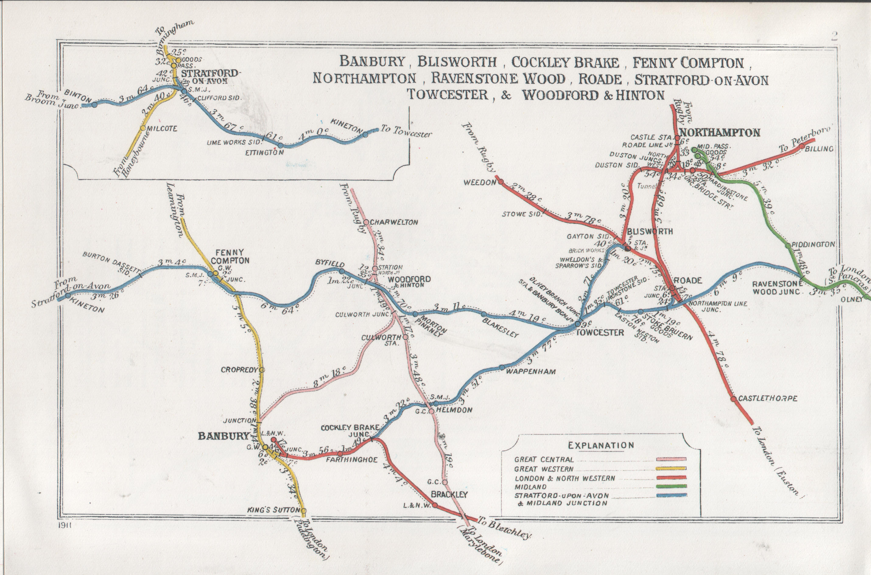
 A 1911 Railway Clearing House map of railways in the vicinity of Northampton
Preceding station Disused railways Following station Terminus London, Midland and Scottish Railway
Bedford to Northampton LinePiddington London and North Western Railway
Northampton and Peterborough RailwayBilling Present day
The station site is still used as a car park and the only reminder that a station once stood in this area is "St. Johns Station Passage", a road running nearby.[9] Much of the trackbed of the Bedford to Northampton Line remains intact, and there have been proposals to reopen the line.[10][11]
References
- ^ Butt, R.V.J. (1995). The Directory of Railway Stations, Patrick Stephens Ltd, Sparkford, ISBN 1-85260-508-1, p. 172.
- ^ Clinker, C.R. (October 1978). Clinker's Register of Closed Passenger Stations and Goods Depots in England, Scotland and Wales 1830-1977. Bristol: Avon-AngliA Publications & Services. p. 102. ISBN 0-90546-619-5.
- ^ 'The borough of Northampton: Gilds and religious houses', A History of the County of Northampton: Volume 3 (1930), pp. 57-61. URL: http://www.british-history.ac.uk/report.aspx?compid=66256 Date accessed: 03 July 2009.
- ^ Kingscott, Geoffrey (2008). Lost Railways of Northamptonshire (Lost Railways Series). Newbury, Berkshire: Countryside Books. p. 140–143. ISBN 978-1-84674-108-1.
- ^ Essery, Bob. "Northampton St. John's Street". LMS Journal (5): 21.
- ^ Essery, B., p. 23.
- ^ Oppitz, Leslie (2000). Lost Railways of the Chilterns (Lost Railways Series). Newbury, Berkshire: Countryside Books. p. 141. ISBN 978-1-85306-643-6.
- ^ Essery, B., p. 23.
- ^ Kingscott, G., p. 141-143.
- ^ Sole Trader Self Employed, "Bedford - Olney - Northampton".
- ^ BBC News, "New bid to reopen old rail link", 21 June 2004.
Coordinates: 52°14′05″N 0°53′42″W / 52.234791°N 0.894917°W
Closed railway stations in Northamptonshire Northampton to Market Harborough line Banbury to Blisworth Stratford-upon-Avon and Midland Junction Railway Northampton and Peterborough Railway Northampton Bridge Street · Billing · Castle Ashby & Earls Barton · Wellingborough London Road · Ditchford · Irthlingborough · Ringstead & Addington · Thrapston Bridge Street · Thorpe · Barnwell · OundleRugby to Peterborough East Market Harborough to Bedford Higham Ferrers branch Great Central Main Line Northampton Loop Line Rugby to Bletchley Welton · Weedon · Blisworth · RoadeKettering to Huntingdon Cranford · Twywell · Thrapston Midland Road · RaundsKettering to Melton Mowbray Rugby and Stamford Railway Lilbourne · Yelvertoft & Stanford ParkWeedon to Marton Junction Other stations Ashley & Weston · Aynho Park · Aynho for Deddington · Brackley Town · Northampton St. John's Street · PiddingtonCategories:- Disused railway stations in Northamptonshire
- Railway stations opened in 1872
- Railway stations closed in 1939
Wikimedia Foundation. 2010.