Northampton Street, Cambridge

Northampton Street, Cambridge
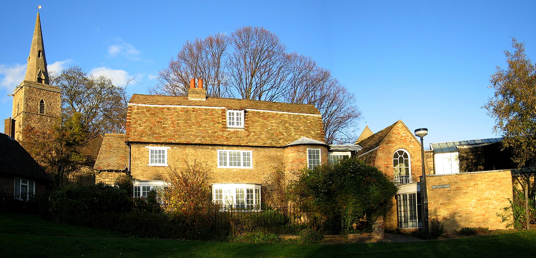
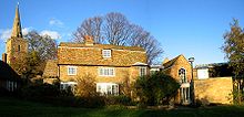
The three cottages which comprise the main house of Kettle's Yard, off Northampton Street.
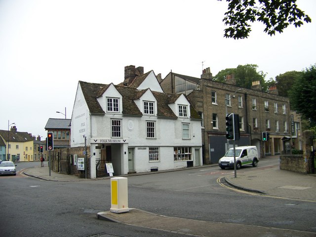
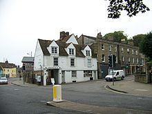
The Cambridge & County Folk Museum, on the corner of Castle Street and Northampton Street.

Northampton Street (part of the A1303) is a street in the north of central Cambridge, England.[1][2] It runs between Madingley Road and Queen's Road to the west and Castle Street, by Castle Hill, Chesterton Lane (then Chesterton Road), and Magdalene Street to the east.

Northampton Street is part of the Cambridge inner ring road and thus has heavy traffic.[2] The majority of properties on the south side of Northampton Street are owned by University of Cambridge colleges. On the north side there is Local Authority, private, and student housing, and also a public house.

To the south is St John's College, one of the largest University of Cambridge colleges, and the River Cam. Historic buildings include the School of Pythagoras[3] and Kettle's Yard.[4] To the north is Honey Hill. On the corner of Castle Street and Northampton Street is the Cambridge & County Folk Museum.

References

External links

Coordinates: 52°12′37″N 0°06′45″E / 52.2102°N 0.11258°E / 52.2102; 0.11258


Wikimedia Foundation. 2010.

Игры ⚽ Поможем сделать НИР

Look at other dictionaries:

  • Magdalene Street — Cambridge Quayside and Magdalene Bridge viewed from the boardwalk, with the tower of St John s College New Court in the background …   Wikipedia

  • Northampton, Massachusetts —   City   Northampton, Massachusetts Main Street …   Wikipedia

  • Cambridge, Massachusetts — Cambridge (Massachusetts) Pour les articles homonymes, voir Cambridge (homonymie). Cambridge …   Wikipédia en Français

  • Northampton — This article is about Northampton in England. For other places of the same name, see Northampton (disambiguation). Borough of Northampton   Town Borough   …   Wikipedia

  • Cambridge, Massachusetts — Not to be confused with Cambridge, United Kingdom. Cambridge, Massachusetts   City   Cambridge City Hall …   Wikipedia

  • Northampton and Peterborough Railway — [v · d · …   Wikipedia

  • Cambridge (Massachusetts) — Pour les articles homonymes, voir Cambridge (homonymie). 42° 22′ 25″ N 71° 06′ 38″ W …   Wikipédia en Français

  • Northampton by-election, 1920 — The Northampton by election, 1920 was a parliamentary by election held for the British House of Commons constituency of Northampton on 1 April 1920. Contents 1 Vacancy 2 Candidates 2.1 Liberals 2.2 …   Wikipedia

  • Magdalene College, Cambridge — This article is about the Cambridge college. For other uses, see Magdalen College (disambiguation). Coordinates: 52°12′37″N 0°6′58″E / 52.21028°N 0.11611°E …   Wikipedia

  • Chesterton Road, Cambridge — The Cambridge County Folk Museum, viewed from the southwestern end of Chesterton Lane …   Wikipedia

Share the article and excerpts

Direct link
Do a right-click on the link above
and select “Copy Link”