- North Carolina Highway 142
-
NC 142
Route information Maintained by NCDOT Length: 9.2 mi (14.8 km) Existed: 1975[1] – present Major junctions West end:  NC 111
 NC 11 Near Hassell
East end: 
 NC 125 / NC 903
Location Counties: Edgecombe, Martin Highway system ←  NC 141
NC 143  →
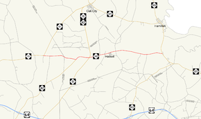
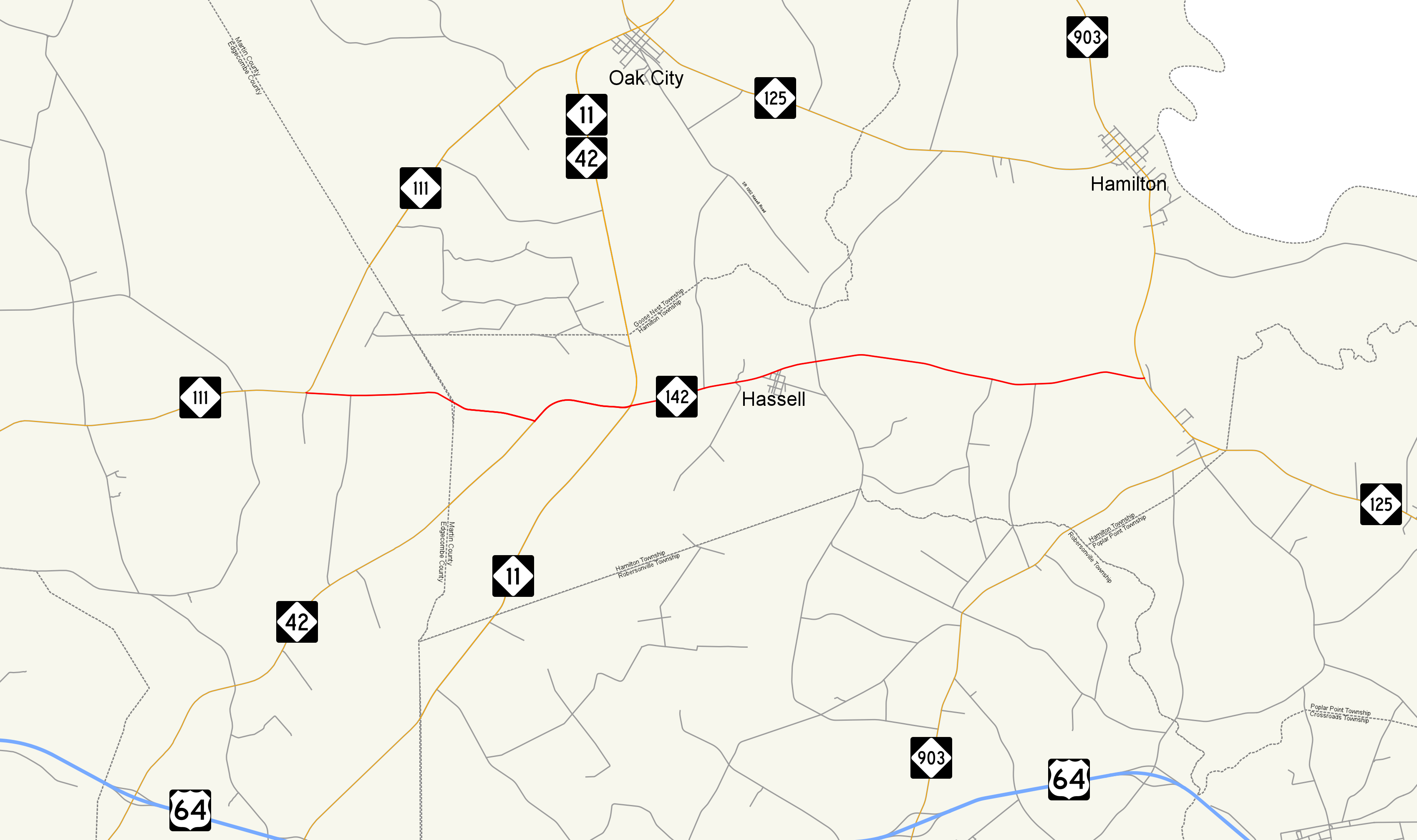
→North Carolina Highway 142 (NC 142) is a state highway that serves the rural community of Hassell. The entire route is two lanes wide.
Contents
Route description
The western terminus of the highway is NC 111. Traveling east 2.5-mile (4.0 km), the highway beings a brief 1.1-mile (1.8 km) concurrency with NC 42 and joins the Tar Heel Trace scenic byway[2]. NC 42 departs the route at the NC 11 intersection, NC 142 continues 1.4-mile (2.3 km) to the rural community of Hassell. Leaving Hassell to the east, NC 142 terminates after 3.7-mile (6.0 km) with the NC 125 / NC 903 junction. The Tar Heel Trace continues southbound on NC 125.
History
The route was created in 1975 as part of a rerouting of NC 42, which formerly ran from the current NC 11 / NC 42 / NC 142 junction to the NC 125 / NC 903 junction. In 1980 the route was expanded west to its current profile by promoting two secondary routes in Martin and Edgecombe county.[1]
Major intersections
County Location Mile Destinations Notes Edgecombe 0.0 NC 111 – Princeville, Oak CityWestern terminus Martin 2.5  NC 42 – Wilson, Oak City
West end of NC 42 concurrency 3.6 NC 11 / NC 42 east – Oak City, GreenvilleEast end of NC 42 concurrency 9.2 NC 125 / NC 903 – Hamilton, WilliamstonEastern terminus 1.000 mi = 1.609 km; 1.000 km = 0.621 mi
Concurrency terminus • Closed/Former • Incomplete access • UnopenedReferences
- ^ a b "NCRoads.com N.C. 142". http://members.cox.net/ncroads/nc142.html. Retrieved 2011-10-04.
- ^ "North Carolina Scenic Byways Fourth Edition". http://www.ncdot.org/download/travel/scenic_byways.pdf. Retrieved 2011-10-04.
Categories:- State highways in North Carolina

Wikimedia Foundation. 2010.