- Neighborhoods in Providence, Rhode Island
-
 Providence neighborhoods with major highways shown
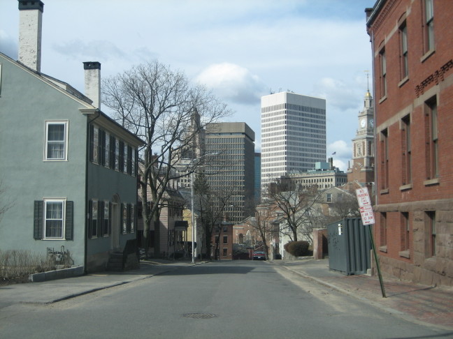
 The Providence Skyline viewed from College Hill
The city of Providence, Rhode Island has 25 official neighborhoods.[1]
- Blackstone
- Charles
- College Hill
- Downtown
- Elmhurst
- Elmwood
- Federal Hill
- Fox Point
- Hartford
- Hope (Summit)
- Lower South Providence
- Manton
- Mount Hope
- Mount Pleasant
- Olneyville
- Reservoir
- Silver Lake
- Smith Hill
- South Elmwood
- Upper South Providence
- Valley
- Wanskuck
- Washington Park
- Wayland
- West End
Many of these neighborhoods are often grouped together referred to collectively:
- East Side - region of Blackstone, Hope (aka Summit), Mount Hope, College Hill, Wayland, and Fox Point.[2]
- Jewelry District - the area around Davol Square. This area will be united with Downtown after the completion of the Iway project to move I-195 south.[3][4]
- North End - sometimes given collectively to the neighborhoods of Charles and Wanshuck.[3]
- South Side or South Providence - region consisting of the neighborhoods of Elmwood, Lower South Providence, Upper South Providence, and West End.[3]
- West Broadway - an area of Federal Hill and West End along the western portion of Westminster Street.[5][6]
The oldest, highest density neighborhoods are either those close to downtown or proximate to the Woonasquatucket River, which provided a power source for early industrialization in Manton, Hartford, and Olneyville. More distant neighborhoods developed later, mostly as transportation as public horse car and streetcar lines were added.
References
- ^ "Providence Neighborhoods". City of Providence. http://www.providenceri.com/Neighborhoods/NeighborhoodMap_c.html. Retrieved 2007-01-17.
- ^ Providence Neighborhood Profiles "Alternative Neighborhood Names". The Providence Plan. 2007. http://204.17.79.244/profiles/altnames.html Providence Neighborhood Profiles. Retrieved 2007-01-31.
- ^ a b c Providence Neighborhood Profiles
- ^ The Jewelry District
- ^ Providence Neighborhoods: West Broadway
- ^ WBNA - Home
Official neighborhoods Blackstone · Charles · College Hill · Downtown · Elmhurst · Elmwood · Federal Hill · Fox Point · Hartford · Hope · Lower South Providence · Manton · Mount Hope · Mount Pleasant · Olneyville · Reservoir · Silver Lake · Smith Hill · South Elmwood · Upper South Providence · Valley · Wanskuck · Washington Park · Wayland · West EndAgglomerations Categories:

Wikimedia Foundation. 2010.