- Musandam Governorate
-
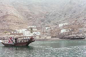 A village on the Musandam peninsula
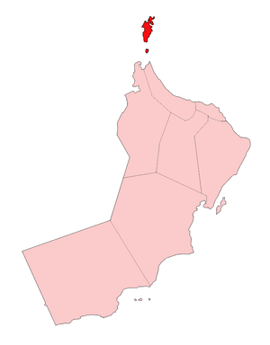 Location of Musandam Governorate in Oman
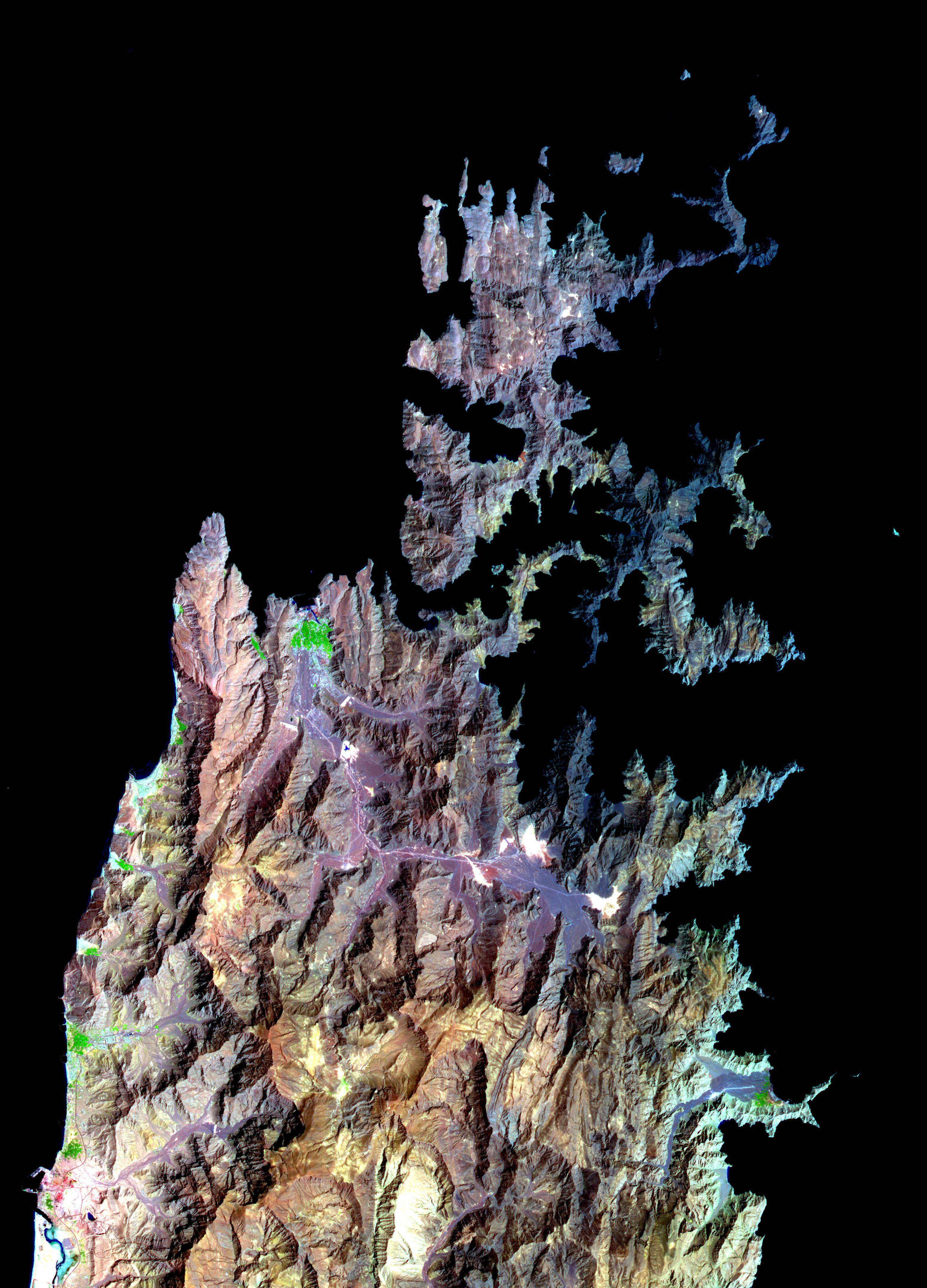
 The Musandam Peninsula as seen from space. Al Khasab to the north (top) shown in green, is contrasted between the more subtle rainbow tones of the surrounding rock in this false-color image. The term Khasab refers to the fertility of the soil.
Musandam Governorate (Arabic : مسندم) is a governorate of Oman.
Geographically, the Musandam peninsula juts into the Strait of Hormuz, the narrow entry into the Persian Gulf, from the Arabian Peninsula. The Musandam peninsula is an exclave of Oman, separated from the rest of the country by the United Arab Emirates. Its location gives Oman partial control, shared with Iran, of the strategic strait. In the northern section of Musandam, around Kumzar, the language is Kumzari, which is one of the south-western Iranian languages and a sub-branch of Persian. The Musandam Peninsula has an area of 1,800 square kilometers (695 sq mi) and a population of 31,425 people. Connectivity has traditionally been a problem for the region, but this has greatly improved since August 2008 with the world's fastest passenger ferry launching service between Muscat and Musandam.[1]
Administrative divisions
Musandam Governorate consists of four districts (wilayat):
Khasab town is the regional center of the Governorate.
The area has great strategic importance owing to its proximity to the Strait of Hormuz.
Geography
The rugged coastline resembles the glacier-carved coasts of polar regions, but in this case, the coast was shaped by the movement of Earth’s crust. The Arabian plate is slowly pushing under the Eurasian plate, creating the earthquake-prone mountains of Iran. On the leading edge of the Arabian plate, the Musandam Peninsula is sinking. The higher elevation mountains remain above the water, but the sea has rushed in to fill the valleys with fingers of water.
Sources
- ^ "World's fastest passenger ferry". theweek. July 30 2008. http://www.theweek.co.om/discon.aspx?Cval=934.
- [1] -- Map showing the territory.
- Musandam Peninsula, Oman NASA Earth Observatory

Persian Gulf 
Arabian Sea  Musandam Governorate

 Ras al-KhaimahFujairah
Subdivisions of Oman Regions 
Governorates Categories:- Peninsulas of Oman
- Governorates of Oman
- Disputed territories in the Persian Gulf
- Gulf of Oman
- Oman–United Arab Emirates border
- Oman geography stubs


![[1]](http://home.pages.at/maxifant/Frames/madha-na.jpg)
Wikimedia Foundation. 2010.