- Baring Mountain
-
Baring Mountain 
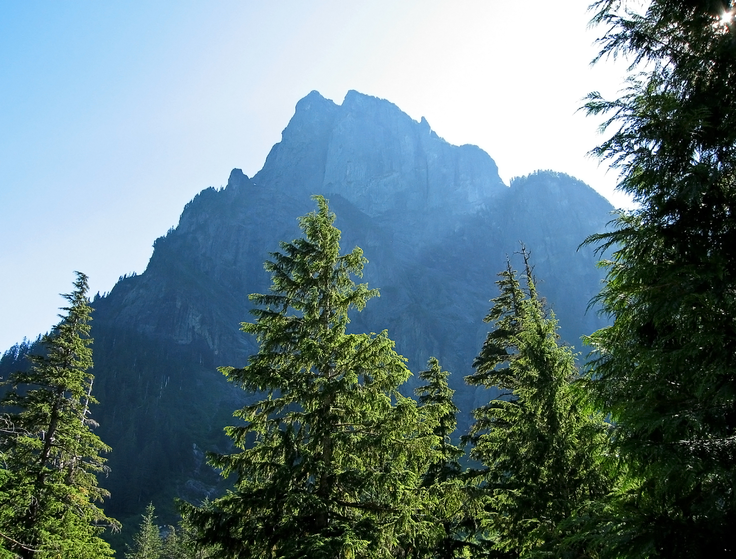
Baring Mountain as seen from Barclay LakeElevation 6,127 ft (1,868 m) NAVD 88[1] Prominence 2,445 ft (745 m) [2] Location Location King County / Snohomish County, Washington, USA Range Cascade Range Coordinates 47°46′45″N 121°26′09″W / 47.779290492°N 121.435822903°WCoordinates: 47°46′45″N 121°26′09″W / 47.779290492°N 121.435822903°W[1] Climbing First ascent July 28, 1897 by John Charlton, Albert H. Sylvester (first recorded ascent) Easiest route Hike/scramble Baring Mountain, or Mount Baring, is a peak in the central part of the Cascade Range of Washington, United States. It lies about 2 miles (3 km) northeast of the Skykomish River and US Highway 2, at the western edge of the Cascades in the Mount Baker-Snoqualmie National Forest. It is about 6 miles (9.7 km) east of Mount Index and the base is accessible via Forest Road 6024 and a 2.2-mile (3.5 km) hike.[3]
Baring Mountain was previously known as Mount Index before being renamed in 1917. The peak currently named Mount Index was known as West Index Mountain until that time.[4]
Like Mount Index, Baring Mountain is a dramatic peak, because of its steep rise above low footings, the Skykomish River is at an elevation of only 760 feet (230 m), and particularly because of its large, sheer Northeast Face, which drops 3,700 feet (1,100 m) to Barclay Lake in only one-half mile (0.8 km).
The first recorded ascent of Baring Mountain was on July 28, 1897 by John Charlton and Albert H. Sylvester. However given the nontechnical nature of the easiest ascent route a much earlier Native American ascent is posible. The standard route on the mountain is the Northwest Ridge Route, involving hiking (off-trail, some of it through brush) and a small amount of scrambling at the top.
The northeast aspect of the peak is home to several routes of great length and technical difficulty (up to Grade V, 5.10).[5] The northeast face was first climbed on July 13, 1960 by Ed Cooper and Don Gordon Claunch.[6]
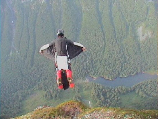
The first BASE jump off of Baring Mountain was done by Todd Higley and Josh Whipple, in August 2001. Michael McMurtrey, of Seattle Washington, was the first to jump from Baring using a wingsuit, in June 2004.[citation needed]
-
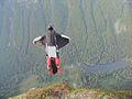
BASE Wingsuit Picture: First BASE wingsuit jumps off of Baring Mountain (June, 2004)
-
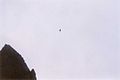
BASE Wingsuit Picture: First BASE wingsuit jumps off of Baring Mountain (June, 2004)
-
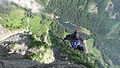
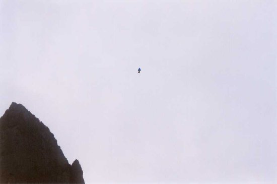
BASE Wingsuit Picture: Recent BASE wingsuit jump off of Baring Mountain (September, 2010)
References
- ^ a b "Baring". NGS data sheet. U.S. National Geodetic Survey. http://www.ngs.noaa.gov/cgi-bin/ds_mark.prl?PidBox=SX1230. Retrieved 2011-06-07.
- ^ "Baring Mountain, Washington". Peakbagger.com. http://www.peakbagger.com/peak.aspx?pid=1999. Retrieved 2011-06-07.
- ^ McQuaide, Mike (2005). Day hike! central Cascades. Sasquatch Books. ISBN 978-1-57061-412-5.
- ^ Carlson, Warren (2009). Upper Skykomish Valley. Images of America. Charleston, SC: Arcadia Pub.
- ^ Beckey, Fred (1987). Cascade Alpine Guide: Stevens Pass to Rainy Pass (2nd, ed.). Seattle, Wash: The Mountaineers.
- ^ Majors, Harry M. (1975). Exploring Washington. Van Winkle Publishing Co. p. 88. ISBN 9780918664006. http://books.google.com/books?id=CoWrPQAACAAJ.
External links
- "Baring Mountain". Geographic Names Information System, U.S. Geological Survey. http://geonames.usgs.gov/pls/gnispublic/f?p=gnispq:3:::NO::P3_FID:1516135. Retrieved 2011-06-07.
- "All Washington Peaks with 2000 Feet of Prominence". Jeff Howbert. http://howbert.netherweb.com/mountains/WA_all_2000P/WA_all_2000P_list_Psort.html.
- "Baring Mountain". Bivouac.com. http://www.bivouac.com/MtnPg.asp?MtnId=14326.
- "Mount Baring". SummitPost.org. http://www.summitpost.org/page/151113. Retrieved 2011-06-07.
Categories:- Landforms of King County, Washington
- Mountains of Washington (state)
- Landforms of Snohomish County, Washington
- King County, Washington geography stubs
- Washington (state) geography stubs
-

Wikimedia Foundation. 2010.