- Monken Hadley Common
-
Monken Hadley Common is a Local Nature Reserve, Borough Grade I, in Monken Hadley in the London Borough of Barnet. It is owned by the Trustees of Monken Hadley Common.[1]
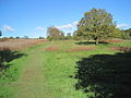
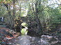
It is a large area of about 70 hectares between Monken Hadley and Cockfosters. The Common is 1.5 miles long and wedge shaped, half a mile wide at the Monken Hadley end tapering to a point at the Cockfosters end. It is a remnant of the former Royal Forest of Enfield Chase, which was enclosed by an Act of Parliament of 1777. A small part was allotted to the village of Monken Hadley, and this is the only land which has remained as a Common. Until the 1950s, the Commoners exercised their rights to use the land for grazing.[2] The Common is bisected by the East Coast Main Railway Line.
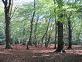
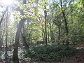
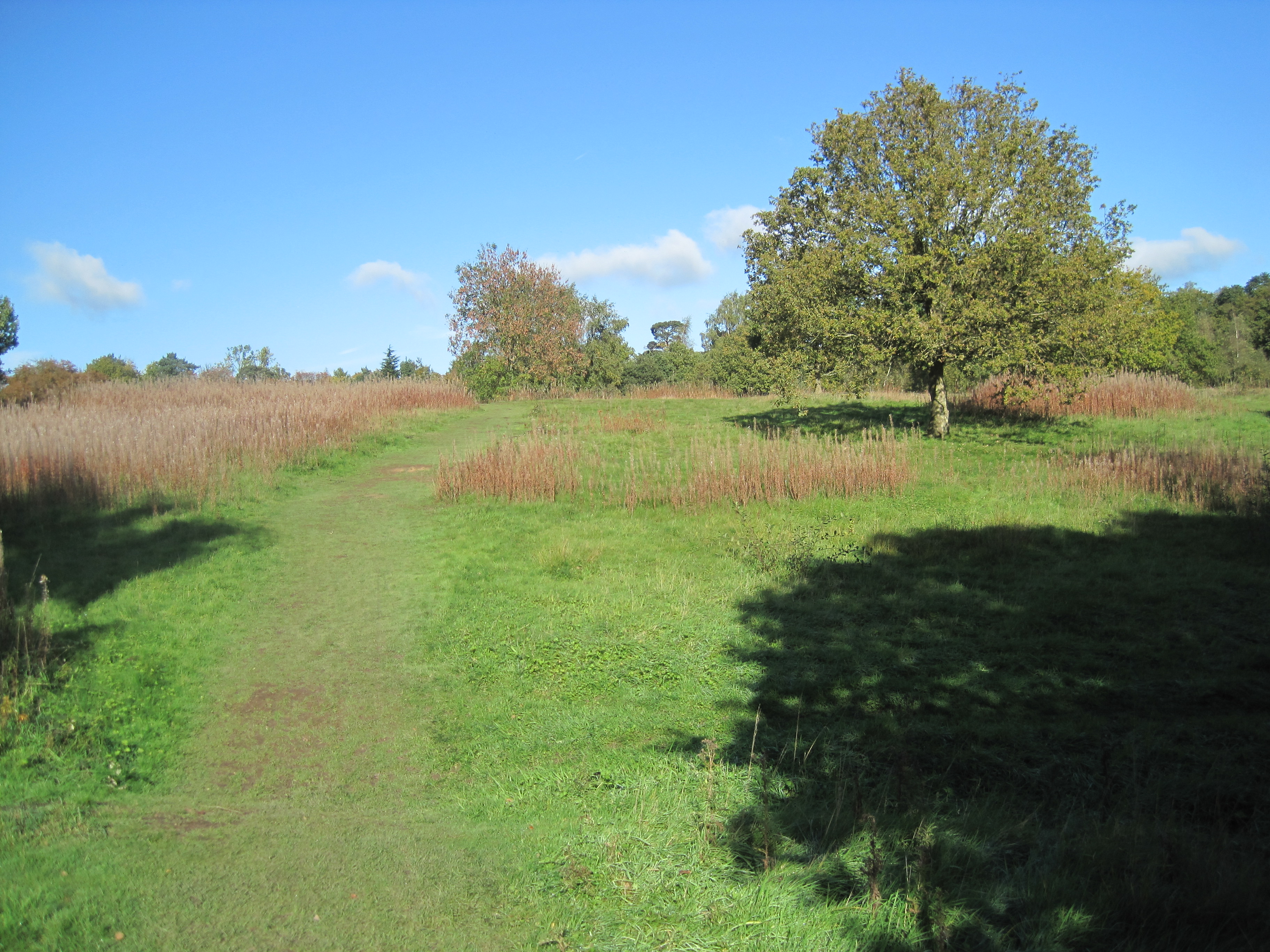
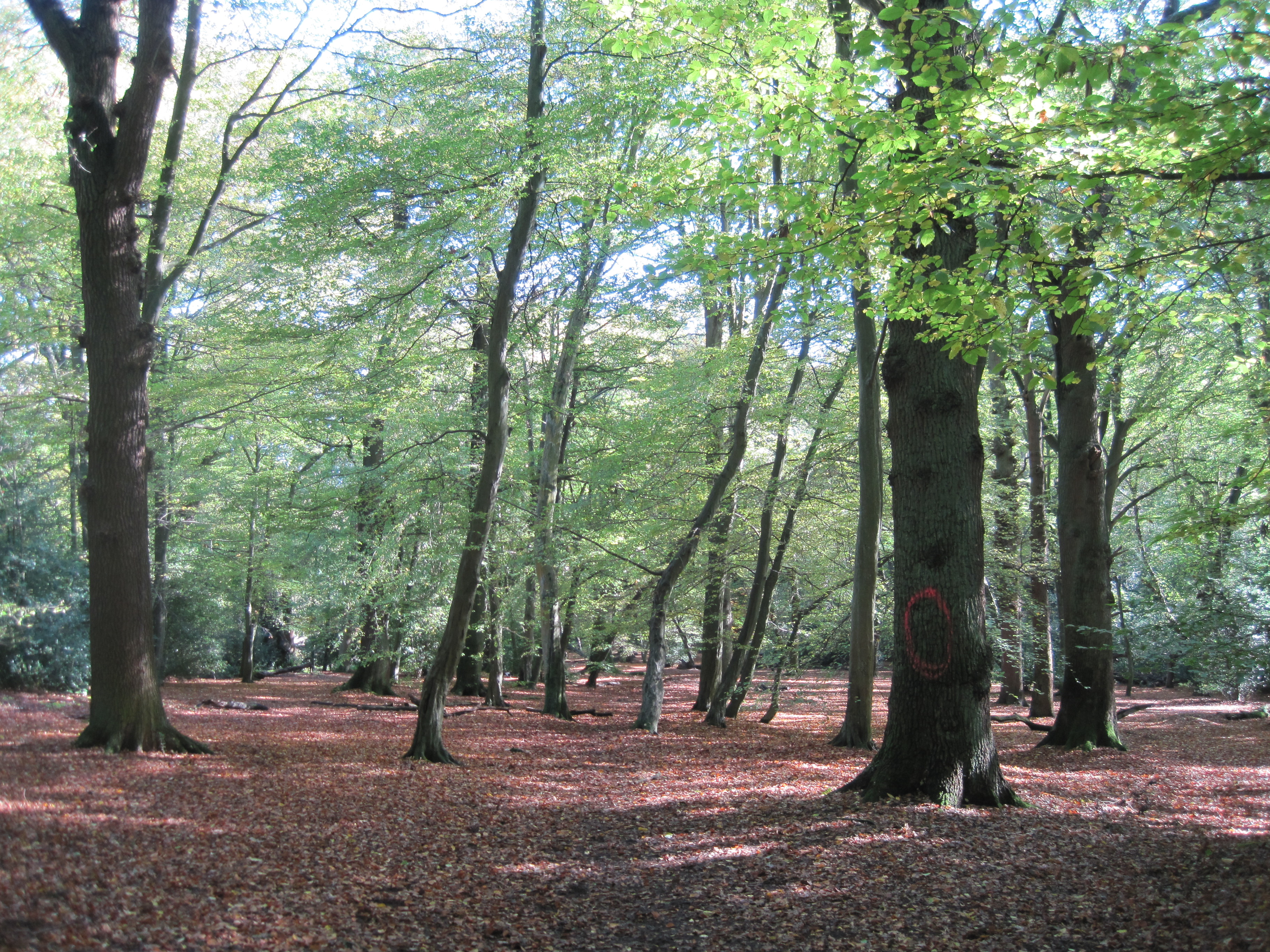
The Common is mostly wooded, dominated by pedunculate oak, with some hornbeam, beech and field maples. Holly forms a dense understorey in some places, while elsewhere a more diverse shrub layer includes Midland hawthorn and hazel. Several ground flora species are ancient woodland indicators, suggesting that fragments have survived from before the time when the common was managed as wood-pasture. Butterflies include white-letter and purple hairstreaks, and there are breeding birds such as sparrowhawk and tawny owl.
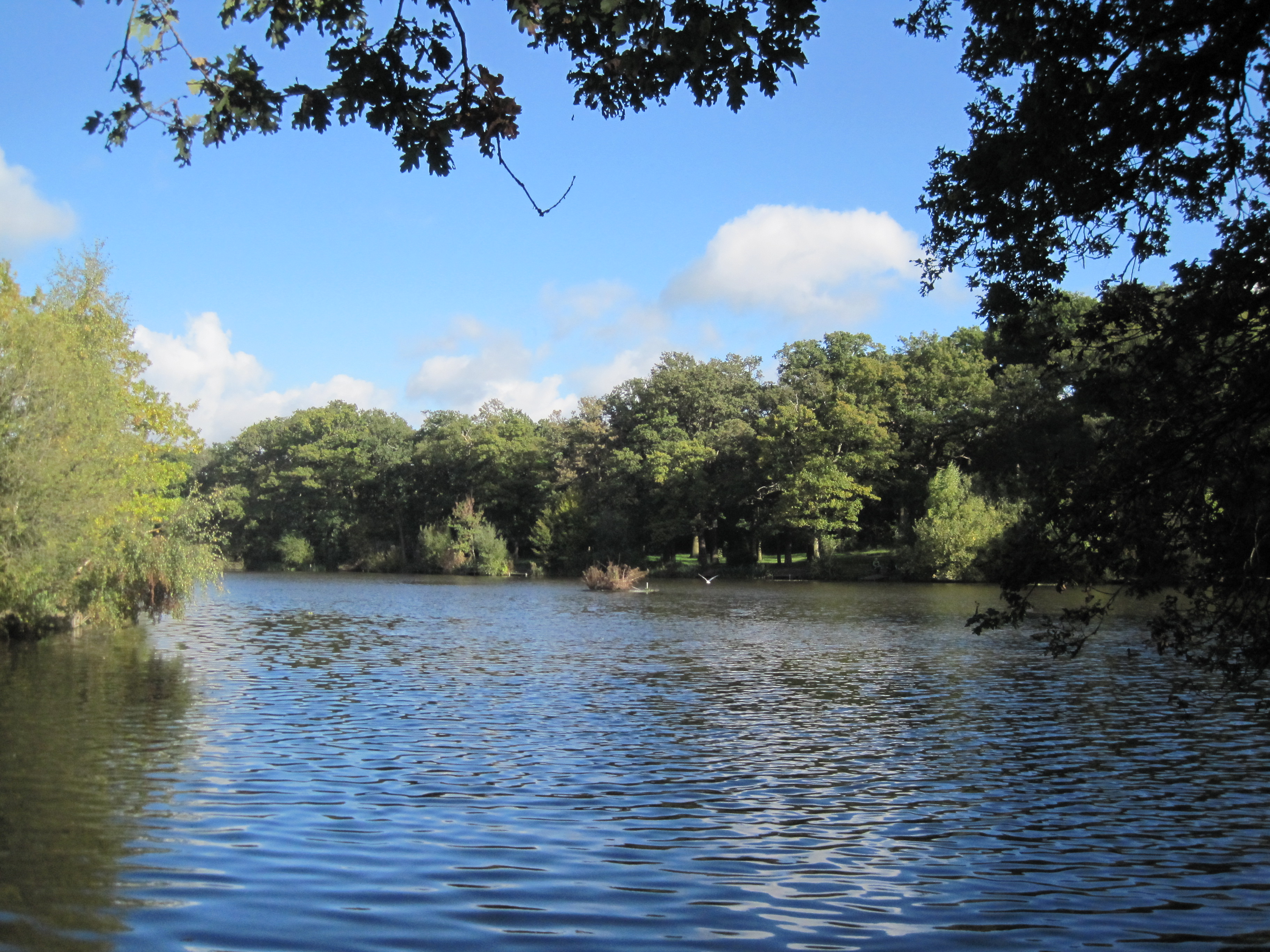
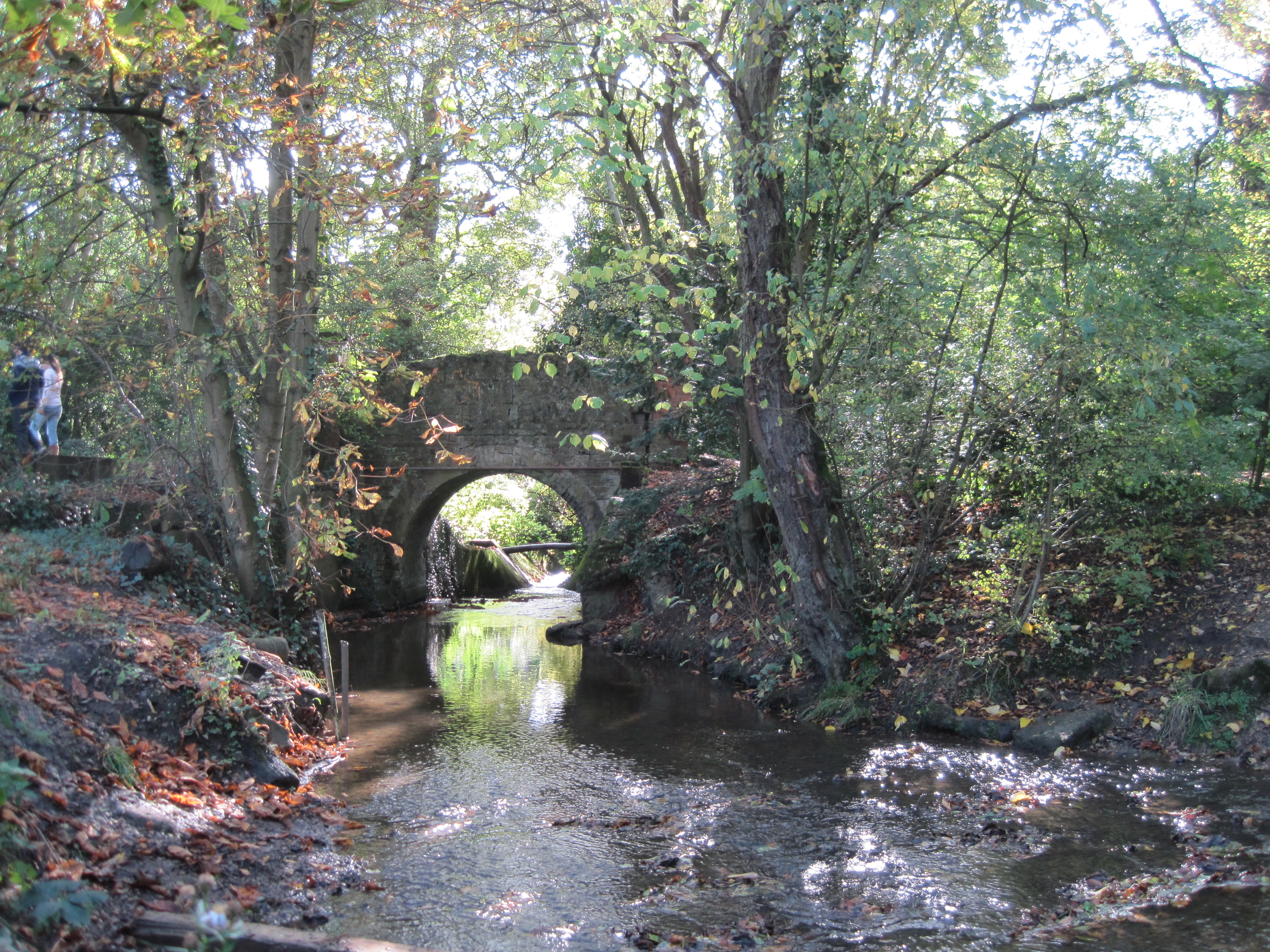
Beech Hill Lake (or Jack's Lake) was formed by damming Pymme's Brook. It is managed for angling but supports common waterfowl and Daubenton's Bats use it for feeding, foraging low over the water. Two smaller ponds have a much richer flora and abundant amphibians, which attract grass snakes.[1]
The London Loop and Pymmes Brook Trail pass through the Common.[3]
There is access from Camlet Way, Hadley Wood Road and Games Road.
Contents
Gallery
-
-
-
-
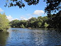
Beech Hill Lake
-
Pymme's Brook
See also
External links
- Mayor of London's Wildweb, Monken Hadley Common
- Friends of Monken Hadley Common
- London Gardens Online, Monken Hadley Common
References
Categories:- Local Nature Reserves in England
- Nature reserves in London
- Geography of Barnet
- Parks and open spaces in Barnet
- London Borough of Barnet
-

Wikimedia Foundation. 2010.