- Mockerkin
-
Coordinates: 54°35′45″N 3°24′37″W / 54.595837°N 3.410139°W
Mockerkin 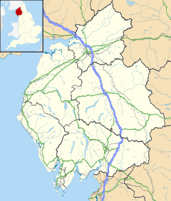
 Mockerkin
Mockerkin shown within CumbriaOS grid reference NY089232 Parish Loweswater District Allerdale Shire county Cumbria Region North West Country England Sovereign state United Kingdom Police Cumbria Fire Cumbria Ambulance North West EU Parliament North West England UK Parliament Workington List of places: UK • England • Cumbria Mockerkin is a settlement in the English county of Cumbria. It is situated just outside the Lake District National Park some 6 miles (9.7 km) south of Cockermouth.
For administrative purposes, Mockerkin lies within the civil parish of Loweswater, the district of Allerdale, and the county of Cumbria. It is within the Workington constituency of the United Kingdom Parliament, and the North West England constituency of the European Parliament.[1]
The name probably derives from the hill-top of a man called Corcán.[2]
References
- ^ "Election Maps". Ordnance Survey. http://www.election-maps.co.uk/electmaps.jsf. Retrieved 2010-01-02.
- ^ Mills, A.D. (2003). A Dictionary of British Place-Names. Oxford University Press. ISBN 0198527586.
Categories:- Villages in Cumbria
- Cumbria geography stubs

Wikimedia Foundation. 2010.