- Minamidaitō
-
Minamidaitō
南大東村— Village — 
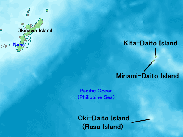
FlagLocation of Minamidaitō in Okinawa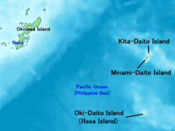

 Minamidaitō
Coordinates: 25°49′44″N 131°13′55″E / 25.82889°N 131.23194°ECoordinates: 25°49′44″N 131°13′55″E / 25.82889°N 131.23194°E Country Japan Region Kyūshū (Ryukyu) Prefecture Okinawa District Shimajiri Government – Mayor Kenshō Nakada Area – Total 30.57 km2 (11.8 sq mi) Population (July 2008) – Total 1,417 – Density 46.4/km2 (120.2/sq mi) Time zone Japan Standard Time (UTC+9) Phone number 09802-2-2001 Address 144-1 Aza Minami, Minamidaitō-son, Shimajiri-gun, Okinawa-ken
901-3895Website Minamidaitō Village  Minamidaitō Village Office
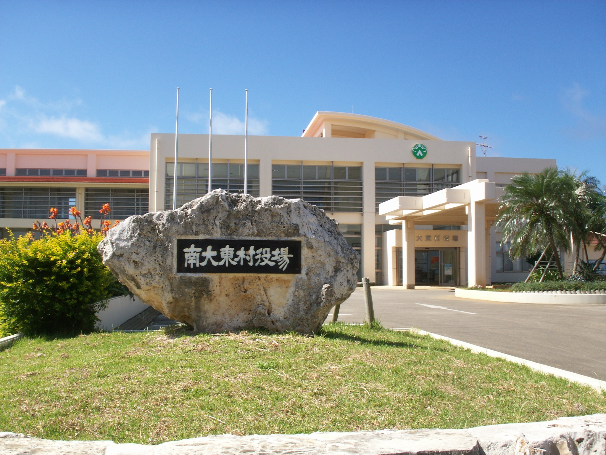
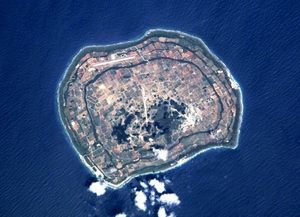
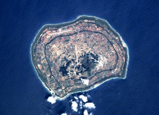
Minamidaitō (南大東島 Minamidaitō-jima), also spelt as Minami Daitō or Minami-Daitō, is the largest of the Daitō Islands located in Shimajiri District, Okinawa, Japan. The municipality serving the island is the village of Minamidaitō (南大東村 Minamidaitō-son).
The island was originally named South Borodino Island after being discovered by the Russian marine vessel Borodino in 1820.
In 1899 a pioneering team from Hachijō Island became the first human inhabitants of the island, using the land to grow sugarcane. A freight train system was established and later dismantled in favor of contemporary transportation.[1]
Rum is produced here. Grace Rum distillery, founded in 2004 is producing there two kinds of rum, Cor Cor red lablel and Cor Cor Green label, made frome molasse and sugar juice respectivelly.[citation needed]
The island is in the subtropical zone and was formed out of coral reef. With the exception of neighboring Kitadaitō, there is no inhabited land within 400km of Minamidaitō.
Minami-Daito Airport serves the island.
Island groupings
- Ryukyu/Nansei Islands
- Ryūkyū Shotō
References
External links
 Media related to Minamidaitō, Okinawa at Wikimedia Commons
- Minamidaitō official website (Japanese)
Categories:- Villages in Okinawa Prefecture
- Okinawa geography stubs
- Ryukyu/Nansei Islands


Wikimedia Foundation. 2010.