- North Grenville
-
Municipality of North Grenville 
Coordinates: 44°58′N 75°39′W / 44.967°N 75.65°WCoordinates: 44°58′N 75°39′W / 44.967°N 75.65°W Country Canada Province Ontario County Leeds and Grenville Settled Incorporation January 1, 1998 Government – Type Township – Mayor David Gordon Area[1] – Land 350.14 km2 (135.2 sq mi) Population (2006)[1] – Total 14,198 – Density 40.5/km2 (104.9/sq mi) Time zone EST (UTC-5) – Summer (DST) EDT (UTC-4) Postal Code Area code(s) 613 Website www.northgrenville.on.ca  Kemptville, largest community in North Grenville
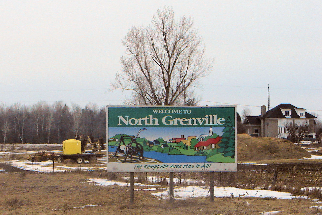
North Grenville was established in January 1998 as a township in eastern Ontario, Canada, in the United Counties of Leeds and Grenville on the Rideau River. It is composed of the village of Kemptville, and the geographic townships of Oxford and South Gower. In 2005, a motion of council adopted the designation of 'municipality'. It is located just south of Ottawa, Canada's National Capital Region.
The largest community in North Grenville is Kemptville, which had a population of 3,667 in the Canada 2001 Census.[2] It is located on the Kemptville Creek (historically South Branch of the Rideau River) in close proximity to Ottawa, sitting midway between suburban Ottawa and the Prescott-Ogdensburg bridge on Highway 416.
Contents
Communities
The Municipality comprises the communities of Actons Corners, Bishop's Mills, East Oxford, Heckston, Hutchins Corners, Kemptville, Millars Corners, Newmanville, Oxford Mills, Oxford Station, Pattersons Corners, Peltons Corner, Sabourins Crossing, Schipaville, Swan Crossing and Van Allens.
Demographics
According to the Canada 2006 Census:
- Population: 14,198
- % Change (2001-2006): 4.5
- Dwellings: 5,513
- Area (km²): 350.14
- Density (persons per km²): 40.5
References
External links

Montague Ottawa Merrickville-Wolford 
North Dundas  North Grenville

Augusta Edwardsburgh/Cardinal South Dundas Categories:- Township municipalities in Ontario
- Municipalities in Leeds and Grenville United Counties, Ontario
- Eastern Ontario geography stubs

Wikimedia Foundation. 2010.