- McClimansville, Ohio
-
McClimansville, Ohio — Unincorporated community — Location of McClimansville, Ohio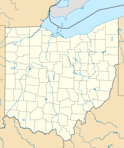
 McClimansville, Ohio
Coordinates: 39°43′43″N 83°16′18″W / 39.72861°N 83.27167°W Country United States State Ohio Counties Madison Elevation[1] 909 ft (277 m) Time zone Eastern (EST) (UTC-5) – Summer (DST) EDT (UTC-4) ZIP code 43143 Area code(s) 740 GNIS feature ID 1056415[1] McClimansville is an unincorporated community in Pleasant Township, Madison County, Ohio, United States. It is located at 39°43′43″N 83°16′18″W / 39.72861°N 83.27167°WCoordinates: 39°43′43″N 83°16′18″W / 39.72861°N 83.27167°W,[2] at the intersection of Ohio State Route 323 and Ohio State Route 56, just north of Mount Sterling.[3]
References
- ^ a b "US Board on Geographic Names". United States Geological Survey. 2007-10-25. http://geonames.usgs.gov. Retrieved 2008-01-31.
- ^ U.S. Geological Survey Geographic Names Information System: McClimansville, Ohio
- ^ Rand McNally. The Road Atlas '06. Chicago: Rand McNally, 2006, Pg. 80
Municipalities and communities of Madison County, Ohio City 
Villages Townships CDP Unincorporated
communitiesFootnotes ‡This populated place also has portions in an adjacent county or counties
Categories:- Columbus-Marion-Chillicothe geography stubs
- Populated places in Madison County, Ohio
- Unincorporated communities in Ohio


Wikimedia Foundation. 2010.