- Marvão Municipality
-
Marvão — Municipality — 
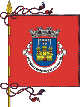
Flag
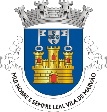
Coat of armsLocation in Portugal
Coordinates: 39°24′N 7°20′W / 39.4°N 7.333°WCoordinates: 39°24′N 7°20′W / 39.4°N 7.333°W Country  Portugal
Region Alentejo Region Subregion Alto Alentejo Subregion District/A.R. Portalegre Government - Mayor Vitor Frutuoso (PSD) Area - Total 154.9 km2 (59.8 sq mi) Population - Total 3,739 - Density 24/km2 (62.2/sq mi) Parishes (no.) 4 Municipal holiday
September 8Website http://www.cm-marvao.pt Marvão (Portuguese pronunciation: [mɐɾˈvɐ̃w]) is a municipality in Portugal with a total area of 154.9 km² and a total population of 3,739 inhabitants.
The municipality is composed of 4 parishes, and is located in Portalegre District.
The present Mayor is Vitor Martins Frutuoso, elected by the Social Democratic Party.
The municipal holiday is September 8.
Its name is derived from an ancient local Muslim chieftain, named Ibn Marwan.
Parishes
- Beirã
- Santa Maria de Marvão
- Santo António das Areias
- São Salvador da Aramenha
-
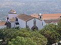
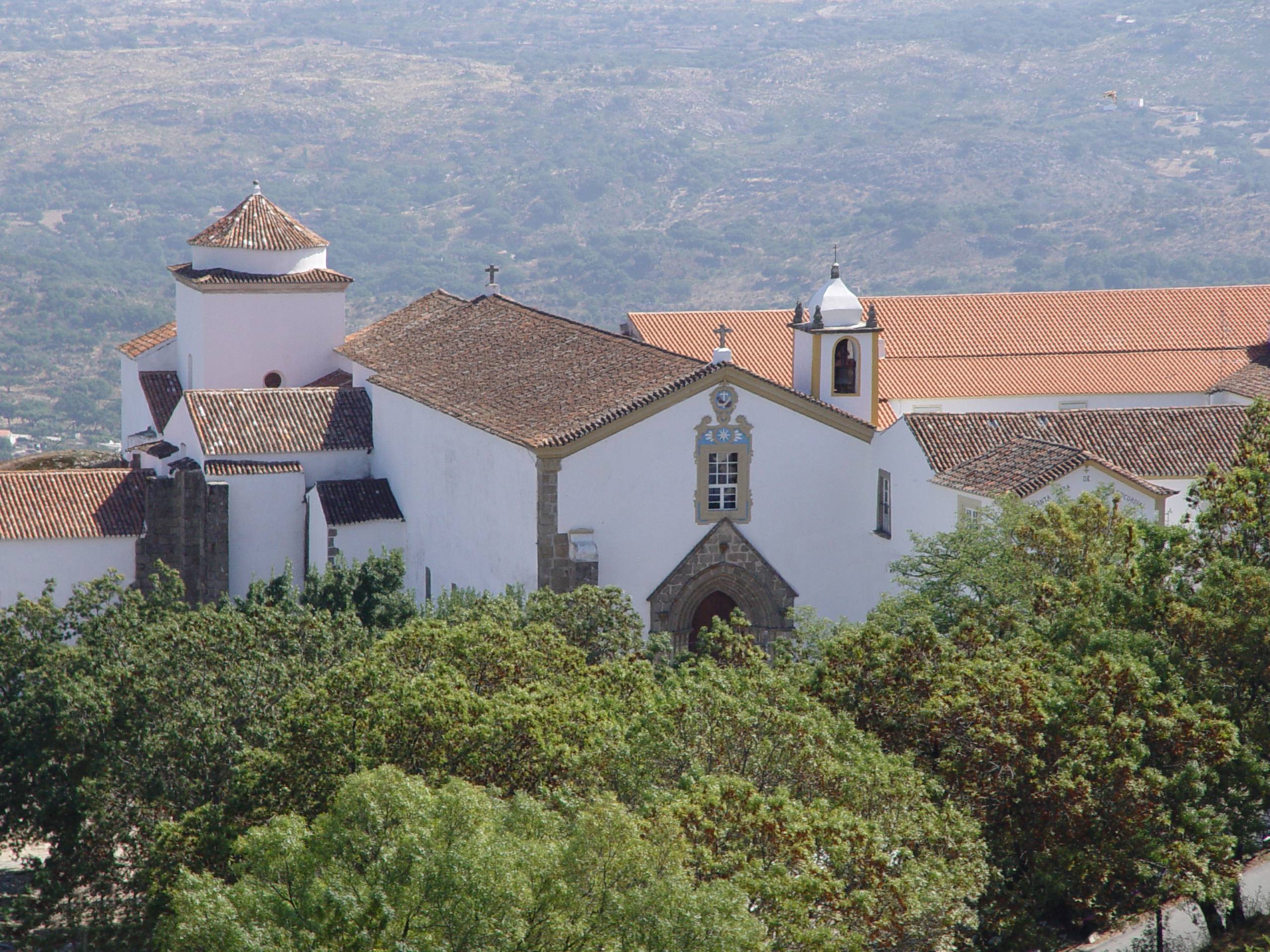
The local convent.
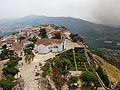
-

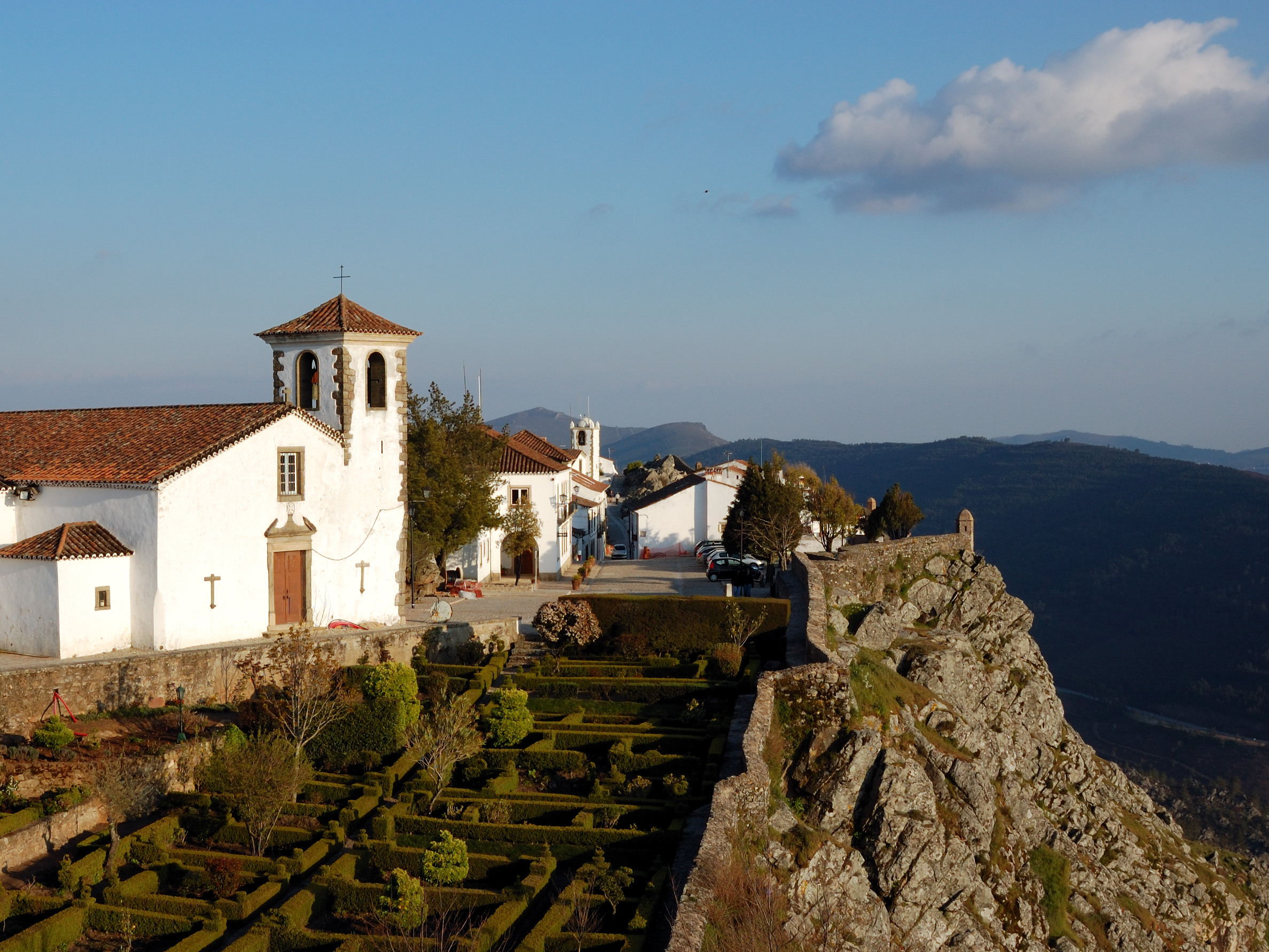
The city rests upon its hill.
-
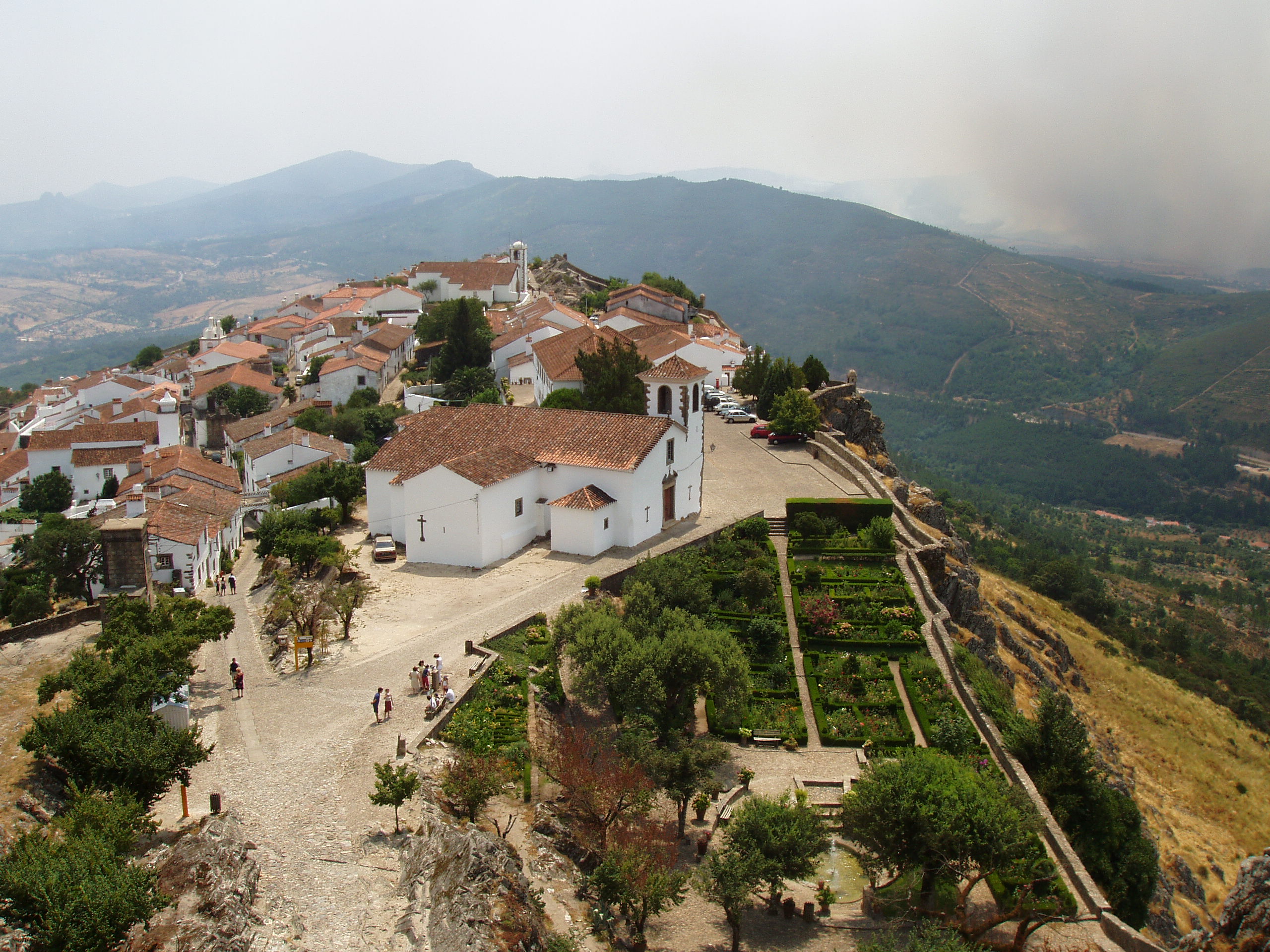
The city within its castle walls.
-
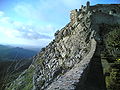
The city's castle wall.
-

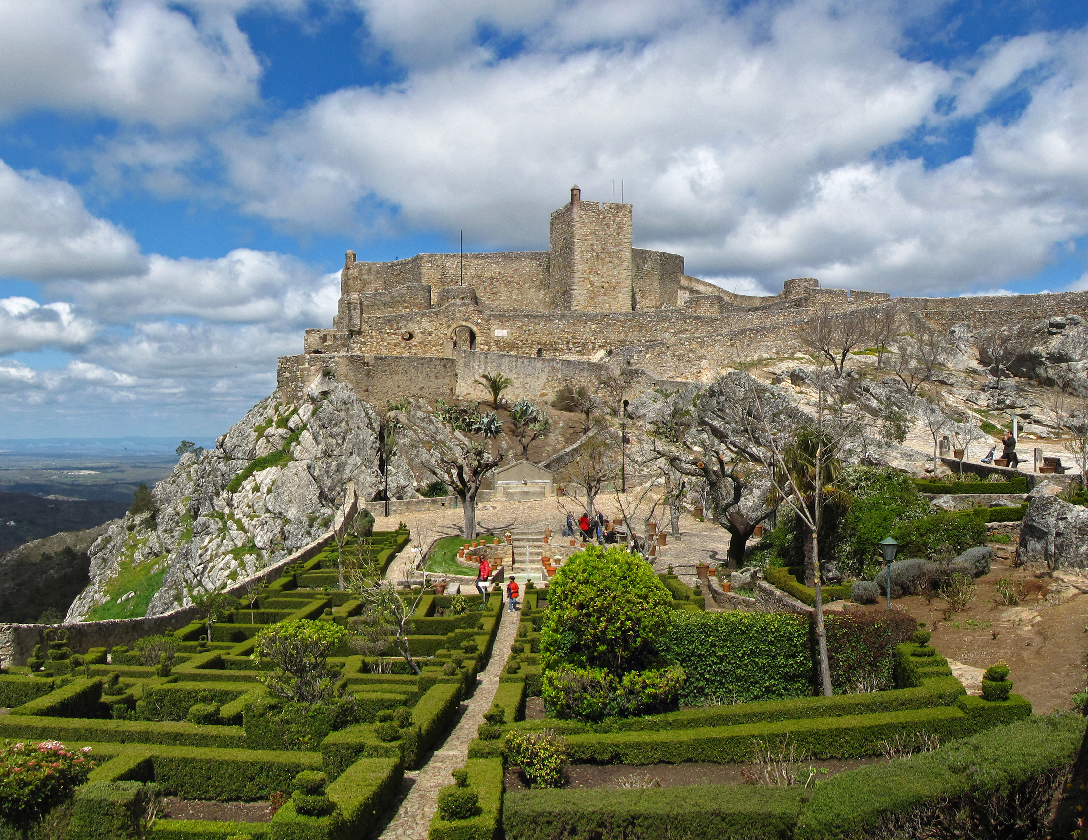
Front view of the castle.
Demographics
Population of Marvão Municipality (1801 – 2004) 1801 1849 1900 1930 1960 1981 1991 2001 2004 4048 3780 5994 7116 7478 5418 4419 4029 3739 External links
Alter do Chão · Arronches · Avis · Campo Maior · Castelo de Vide · Crato · Elvas · Fronteira · Gavião · Marvão · Monforte · Nisa · Ponte de Sor · Portalegre · Sousel Categories:


Wikimedia Foundation. 2010.