- Crato Municipality
-
Crato — Municipality — 
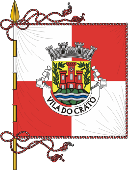
Flag
Coat of armsLocation in Portugal
Coordinates: 39°17′N 7°38′W / 39.283°N 7.633°WCoordinates: 39°17′N 7°38′W / 39.283°N 7.633°W Country  Portugal
Region Subregion District/A.R. Portalegre District Government - Mayor José Luz (PS) Area - Total 398.0 km2 (153.7 sq mi) Population - Total 3,995 - Density 10/km2 (25.9/sq mi) Parishes (no.) 6 Municipal holiday Easter Monday
date variesWebsite http://www.cm-crato.pt Crato (Portuguese pronunciation: [ˈkɾatu]) is a municipality in Portugal with a total area of 398.0 km² and a total population of 3,995 inhabitants.
The municipality is composed of 6 parishes, and is located in Portalegre District.
The present Mayor is José Correia Luz, elected by the Socialist Party.
The municipal holiday is Easter Monday.
Parishes
- Aldeia da Mata
- Crato e Mártires
- Flor da Rosa
- Gáfete
- Monte da Pedra
- Vale do Peso
History
Crato was since 1340, the head-quarters of the Knights Hospitaller in Portugal. The head of the order was known as the Prior of Crato.
External links
Alter do Chão · Arronches · Avis · Campo Maior · Castelo de Vide · Crato · Elvas · Fronteira · Gavião · Marvão · Monforte · Nisa · Ponte de Sor · Portalegre · Sousel Categories:


Wikimedia Foundation. 2010.