- Maranalloor
-
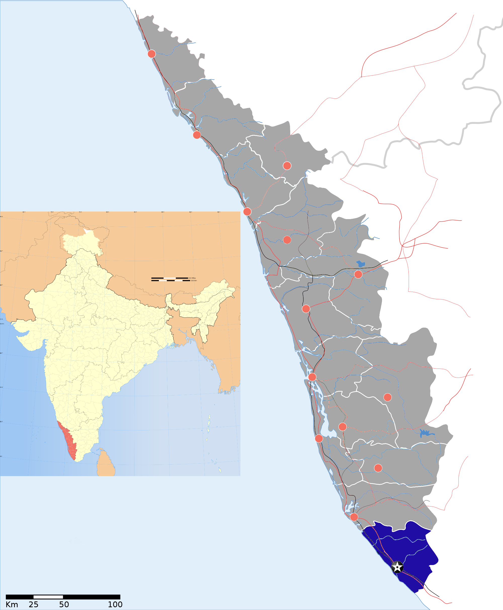
Maranalloor — village — Coordinates 8°28′25″N 77°03′52″E / 8.4735700°N 77.0644800°ECoordinates: 8°28′25″N 77°03′52″E / 8.4735700°N 77.0644800°E Country India State Kerala District(s) Thiruvananthapuram Population 35,610 (2001[update]) Time zone IST (UTC+05:30) Codes-
• Pincode • 6XXXXX • Vehicle • KL-
Maranalloor is a village in Thiruvananthapuram district in the state of Kerala, India.[1]
Location
It is 18 km from Kerala State Road Transport Corporation's Central Bus Depot, Thampanoor. There are regular bus services to other parts of city also.[2] It is only 6 kilometres from National Highway 47(Trivandrum-nagercoil). Nearest towns are Balaramapuram, Kattakkada and Neyyattinkara.
Railway station is 3 km away. The railway line connects Kanyakumari and Thiruvananthapuram Central.
Demographics
As of 2001[update] India census, Maranalloor had a population of 35610 with 17507 males and 18103 females.[1]
References
Thiruvananthapuram district District HQ: Thiruvananthapuram History 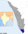
Geography Karamana River · Vamanapuram River · Neyyar River · Varkala Beach · Agastya Mala · Ponmudi · Meenmutty FallsCities and Taluks TaluksCorporationsMunicipalitiesTransport Thiruvananthapuram International Airport · Trivandrum Central · Varkala Sivagiri station · NH 47 · Main Central RoadEducation Buildings Culture Lok Sabha constituencies Thiruvananthapuram · AttingalCategories:- Villages in Thiruvananthapuram district
- Thiruvananthapuram district geography stubs
-


Wikimedia Foundation. 2010.