- Mount Babel (Quebec)
-
For other uses, see Mount Babel (disambiguation).
Mount Babel Mont Babel 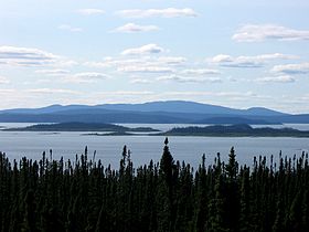
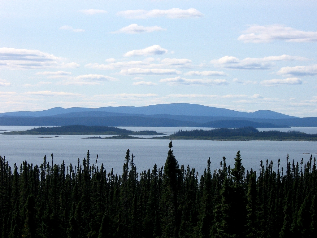
View from the east of Mount Babel (right of center), René-Levasseur Island, and the Manicouagan Reservoir.Elevation 952 m (3,123 ft) [1] Prominence 590 m (1,936 ft) [1] Listing List of mountains in Canada Location Rivière-aux-Outardes,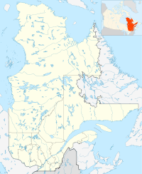
 Mount Babel
 Quebec,
  Canada
Coordinates 51°26′28″N 68°41′31″W / 51.44111°N 68.69194°WCoordinates: 51°26′28″N 68°41′31″W / 51.44111°N 68.69194°W[1] Mount Babel is the highest peak of the René-Levasseur Island, at 952 m (3,123 ft) above sea-level, which is 590 m (1,936 ft) above the Manicouagan Reservoir level. It lies within the Louis-Babel Ecological Reserve in Quebec, Canada.
History
The mount is named after Catholic missionary Louis Babel (1829-1912), who is said to have converted Montagnais and Naskapis.[2][3]
Mount Babel is the central peak of the Manicouagan crater and was formed by the rebound of the crust after the impact of a crater 210 million years ago. The mountain and reservoir are of particular interest to geologists due to the shock metamorphosis it endured.[4]
Biodiversity
Mount Babel is also a valuable research ground for biologists. One can find montane and alpine climate zones there, since meteorological conditions become increasingly extreme towards the summit. These conditions create a quick transition from boreal forest to tundra, where there can be found lichen and other arctic life forms that would normally be observed hundreds of kilometers further north.[5]
References
- ^ a b c "Mont Babel" (in French). Banque de noms de lieux du Québec. Commission de Toponymie. http://www.toponymie.gouv.qc.ca/ct/ToposWeb/fiche.aspx?no_seq=283717. Retrieved 20 Sept. 2010.
- ^ Government of Quebec (in French), Réserve écologique Louis-Babel, Quebec City: Ministère du Développement durable, de l'Environnement et des Parcs, http://www.mddep.gouv.qc.ca/biodiversite/reserves/louis_babel/res_27.htm, retrieved 20 Sept. 2010
- ^ Boucher, Romuald (2000) [1911-1920], "Louis Babel" (in French), Dictionnaire biographique du Canada en ligne (University of Toronto/Université Laval) XIV, http://www.biographi.ca/009004-119.01-f.php?&id_nbr=7183&PHPSESSID=3pns29ecdj79gbfb7pniv52d25, retrieved 20 Sept. 2010
- ^ Gouvernement du Québec. "Réserve écologique Louis-Babel" (in French). Québec: Ministère du Développement durable, de l'Environnement et des Parcs. http://www.mddep.gouv.qc.ca/biodiversite/reserves/louis_babel/res_27.htm. Retrieved 20 Sept. 2010.
- ^ Cleary, Marie-Claude (21 July 2002), "Réserve écologique Louis-Babel" (in French), La Semaine Verte (Radio-Canada), http://www.radio-canada.ca/actualite/semaineverte/020721/reservelouisbabel.html, retrieved 20 Sept. 2010
Categories:- Geography of Côte-Nord
- Mountains of Quebec
- Quebec geography stubs

Wikimedia Foundation. 2010.