- Manatuto District
-
Manatuto — District — Cliffs at Manatuto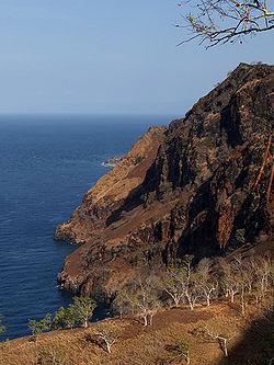

FlagMap of East Timor highlighting Manatuto District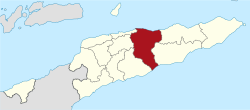
Coordinates: 8°42′S 125°55′E / 8.7°S 125.917°ECoordinates: 8°42′S 125°55′E / 8.7°S 125.917°E Country  East Timor
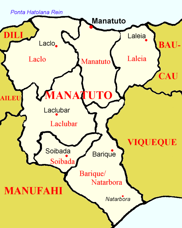
Capital Manatuto Subdistricts Barique-Natarbora, Laclo, Laclubar, Laleia, Manatuto, Soibada Area - Total 1,706 km2 (658.7 sq mi) Area rank 2nd Population (2004) - Total 36,719 - Rank 13th - Density 21.5/km2 (55.7/sq mi) - Density rank 13th Households - Total 8,338 (as of 2004) - Rank 12th Time zone UTC+9 ISO 3166 code TL-MT Manatuto is one of the districts of East Timor, located in the central part of the country. It reaches both the south and north coasts of the island, and is only one of two districts to do so (the other is Lautém in the far east). To the north is the Strait of Wetar, to the south is the Timor Sea. The district borders the districts of Baucau and Viqueque to the east and Manufahi, Aileu, and Dili to the west. The district of Manatuto is the only district that touches both the north and south coast, and has the most geographical diversity.
It has a population of 38,580 (Census 2004) and an area of 1,706 km2. The capital of the district is also named Manatuto.
The district of Manatuto is identical to the council of Portuguese Timor with the same name. It has the subdistricts Barique-Natarbora (pop. 4,900), Laclo (pop. 6,400), Laclubar (pop. 10,100), Laleia (pop. 3,200), Manatuto (pop. 11,500), and Soibada (pop. 2,950). The district is known as the birth-place of Xanana Gusmão, later to become the nation's first president and now the prime minister. He was born in the village of Laleia (19 km East of Manatuto town).
In addition to the official languages of East Timor (Tetum and Portuguese), a large part of the population of the district speaks the Malayo-Polynesian language Galoli, which is designated as a "national language" by the constitution.
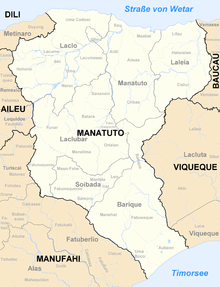 Subdivisions of Manatuto
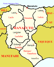 Cities of Manatuto
References
Districts of East Timor  Categories:
- Geography articles needing translation from German Wikipedia
- Districts of East Timor


Wikimedia Foundation. 2010.