- Cova Lima District
-
Cova Lima — District — 
FlagMap of East Timor highlighting Cova Lima District
Coordinates: 9°19′S 125°15′E / 9.317°S 125.25°ECoordinates: 9°19′S 125°15′E / 9.317°S 125.25°E Country  East Timor
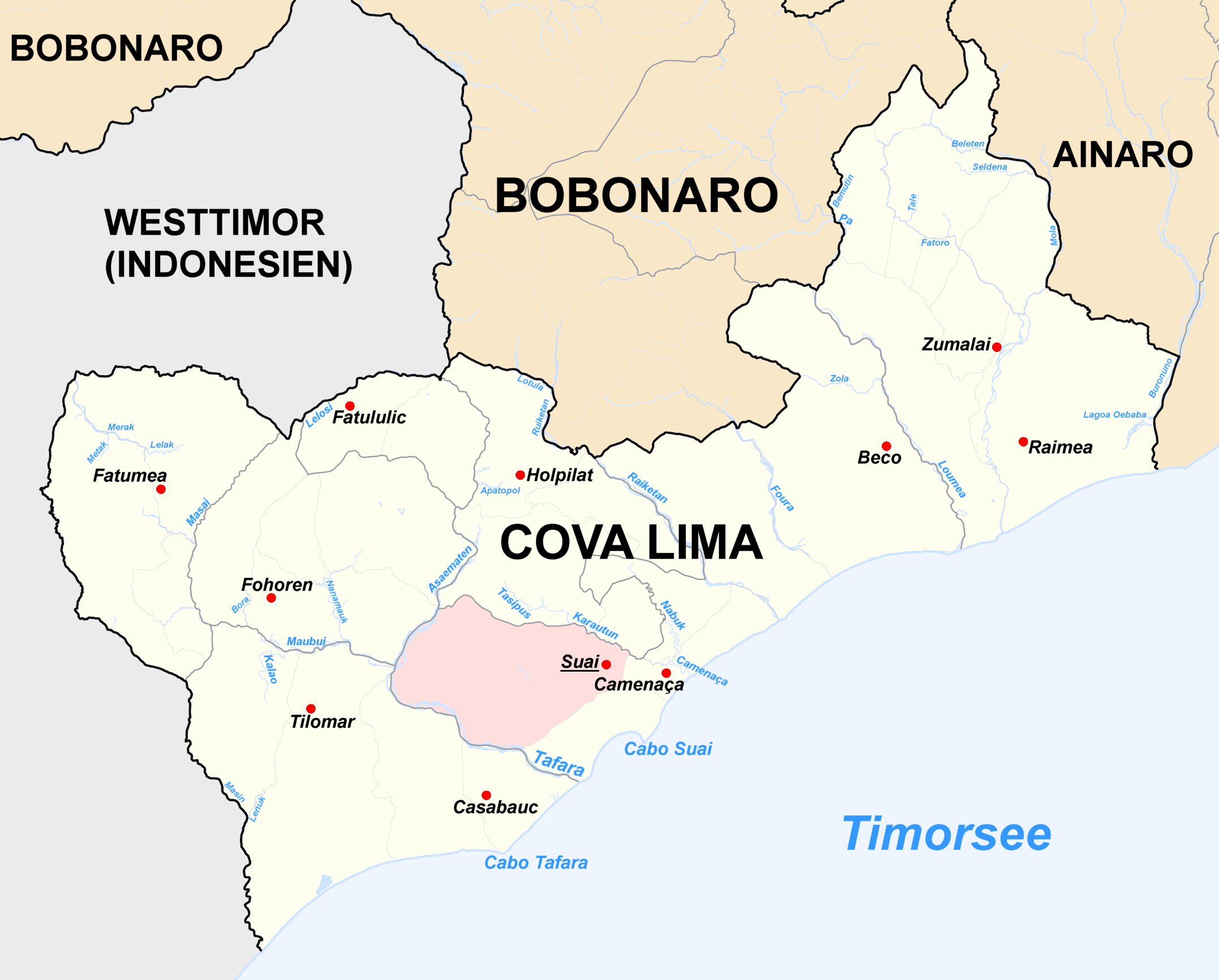
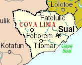
Capital Suai Subdistricts Fatululic, Fatumean, Fohorem, Zumalai, Maucatar, Suai, Tilomar Area – Total 1,226 km2 (473.4 sq mi) Area rank 7th Population (2004) – Total 52,818 – Rank 9th – Density 43.1/km2 (111.6/sq mi) – Density rank 9th Households – Total 11,820 (as of 2004) – Rank 8th Time zone UTC+9 ISO 3166 code TL-CO Cova Lima is a district of East Timor, in the Southwest part of the country. It has a population of 55,941 (Census 2004) and an area of 1,226 km2. The capital of the district is Suai, which lies 136 km from Dili, the national capital. The subdistricts of Cova Lima are Fatululic, Fatumean, Fohorem, Zumalai, Maucatar, Suai, and Tilomar.
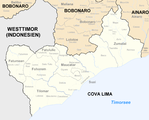
Cova Lima borders the Timor Sea to the south, the districts Bobonaro and Ainaro to the east, and the Indonesian province Nusa Tenggara Timur to the west.
-
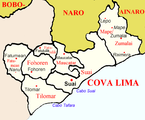
Subdivions of Cova Lima
-

Cities and rivers of Cova Lima
-

Borders of Cova Lima until 2003.
-
Borders of Cova Lima since 2003.
References
Districts of East Timor  Categories:
- Geography articles needing translation from German Wikipedia
- Districts of East Timor
- East Timor geography stubs
-


Wikimedia Foundation. 2010.