- Ainaro (district)
Infobox East Timor District
name = Ainaro
tetum =
capital =Ainaro
area = 797
arearank = 9th
population = 52,476
population_as_of =2004
populationrank = 10th
density = 65,8
densityrank = 6th
households = 11,527
households_as_of = 2004
householdsrank = 9th
isocode = TL-AN
subdistricts =Ainaro ,Hatudo ,Hatu Builico ,
Maubisse
map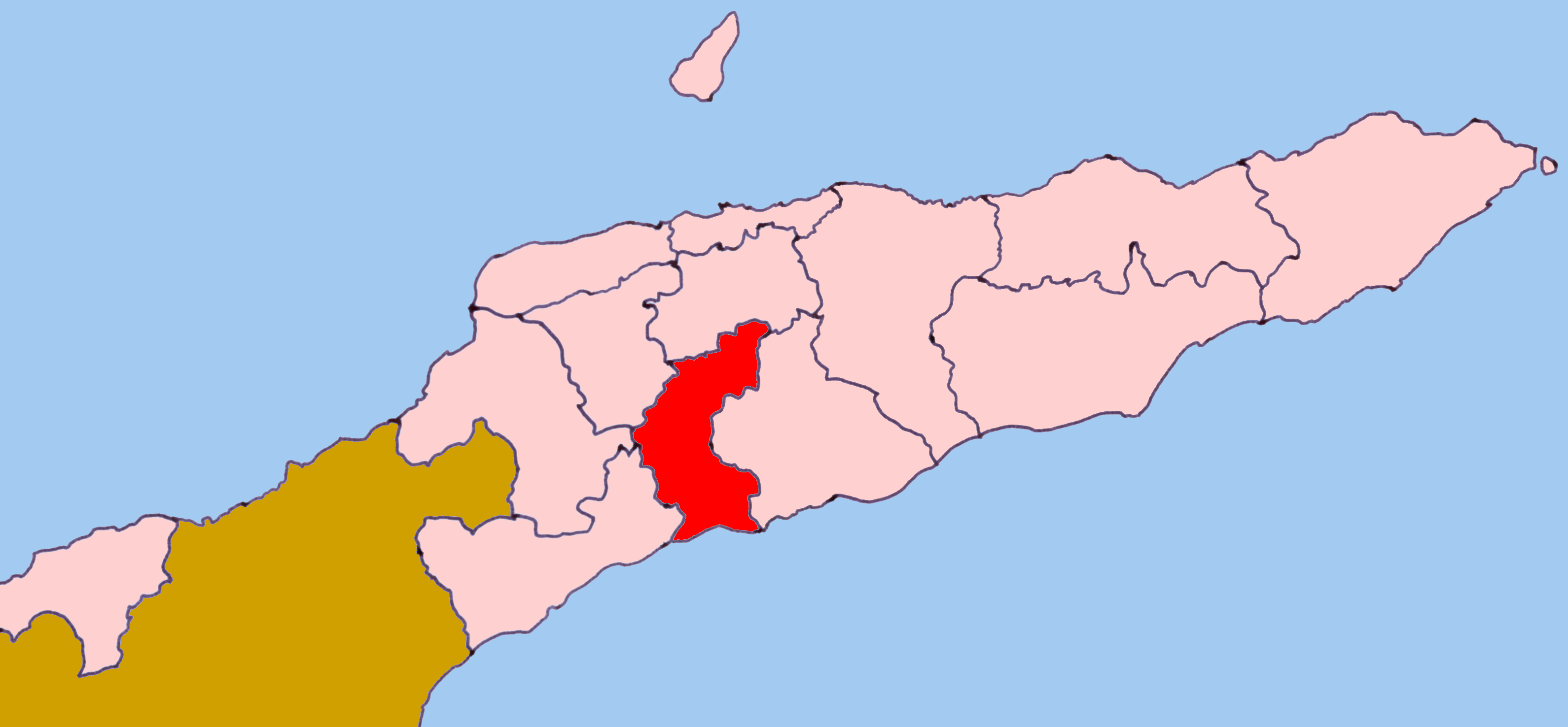
Ainaro is one of 13 administrative districts of
East Timor , in the southwest part of the country. It has a population of 53,629 (census 2004) and an area of 797 km². Its capital is the city ofAinaro , a small mountain town.The district is identical to that of the same in
Portuguese Timor , with the following exceptions: during theIndonesia n occupation, the subdistrict ofTuriscai became part ofManufahi from Ainaro, and the subdistrict ofHatudo became part of Ainaro in exchange. The suco of Mape-Zumalai became part ofCova-Lima in2003 .The district borders the districts of Aileu to the north,
Manufahi to the south, Cova-Lima to the southwest,Bobonaro to the west, andErmera to the northwest. The subdistricts of Ainaro now areAinaro ,Hatudo ,Hatu Builico , andMaubisse .Ainaro has a great abundance of rivers and fertile terrain for agriculture. It has a coastal area, on the
Timor Sea , but also mountainous zones, including the highest point in East Timor, MountRamelau (2,960 m), also known as Tatamailau, which lies near the border withErmera . Historically, Ainaro played an important role during the brutalIndonesia n occupation of East Timor, providing shelter for the mountain-based guerrilla resistance army. Former guerrilla leader and current PresidentXanana Gusmão spent many years directing the resistance from Ainaro.In addition to the official languages of
Tetum and Portuguese, a large number of inhabitants of Ainaro speak theMalayo-Polynesian language Mambai . The inhabitants includecatholic s,protestant s, andmuslim s living side by side.
Wikimedia Foundation. 2010.