- Dili District
-
Díli
Dili— District — 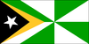
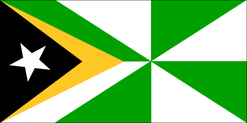
FlagMap of East Timor highlighting Díli District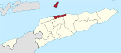
Coordinates: 8°34′S 125°35′E / 8.567°S 125.583°ECoordinates: 8°34′S 125°35′E / 8.567°S 125.583°E Country  East Timor
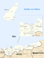
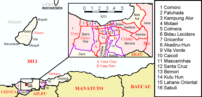
Capital Dili Subdistricts Atauro, Cristo Rei, Dom Aleixo, Metinaro, Nain Feto, Vera Cruz Area - Total 372 km2 (143.6 sq mi) Area rank 13th Population (2004) - Total 173,541 - Rank 1st - Density 466.5/km2 (1,208.3/sq mi) - Density rank 1st Households - Total 31,575 (as of 2004) - Rank 1st Time zone UTC+9 ISO 3166 code TL-DI Dili is the name of one of the 13 districts of East Timor, which includes the national capital Dili. It has a population of 167,777 (2004 census), most of whom live in the capital city. The district has an area of 372 km2. The district is the same as what was the council of the same name in Portuguese Timor.
Dili is the smallest district in East Timor, but it has the highest population. It lies on the north coast of the island of Timor on the Savu Sea. It borders the districts of Manatuto to the east, Aileu to the south, and Liquiçá to the west. Atauro Island, to the north of the district opposite the capital, is one of the subdistricts.
Dili is the economic and political center of East Timor.
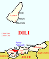
Sub-Districts
- Nain Feto
- Vera Cruz
- Dom Aleixo
- Cristo Rei
- Metinaro
- Atauro
-
Subdivisions of the district
-
Cities in the district of Dili
References
Districts of East Timor  Categories:
- Geography articles needing translation from German Wikipedia
- East Timor geography stubs
- Districts of East Timor


Wikimedia Foundation. 2010.