- Liquiçá (district)
Infobox East Timor District
name = Liquiçá
tetum = Likisá
capital =Liquiçá
area = 543
arearank = 12th
population = 54,834
population_as_of = 2004
populationrank = 8th
density = 101.0
densityrank = 3rd
households = 11,063
households_as_of = 2004
householdsrank = 10th
isocode = TL-LI
subdistricts =Bazartete ,Liquiçá ,Maubara
map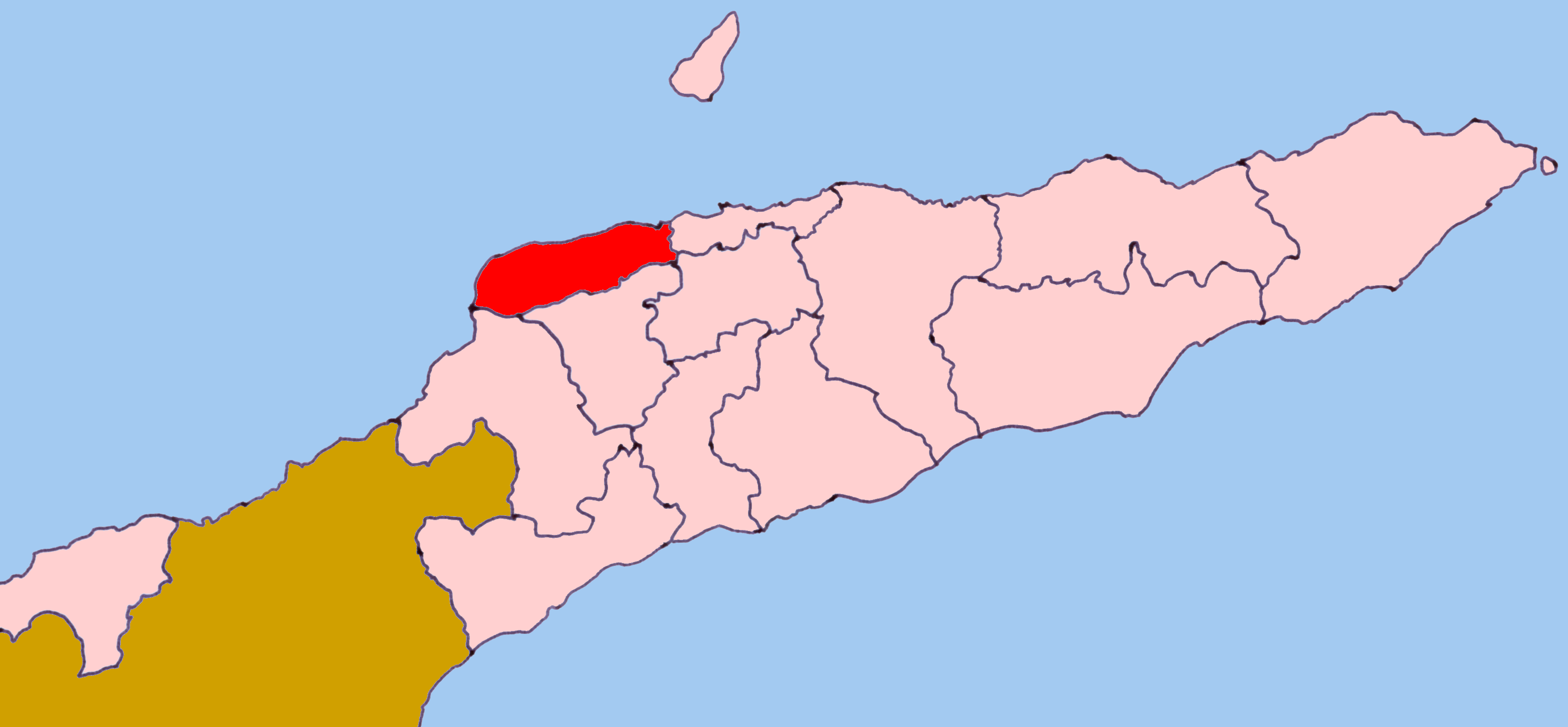
Liquiçá (
Tetum : Likisá) is one of the districts ofEast Timor . Its capital is also calledLiquiçá .Liquiçá District is situated on the northern coast of East Timor, and borders the distrticts of Dili (containing the national capital) to the east, Aileu to the Southeast,
Ermera to the south, andBobonaro to the southwest. To the northwest lies theSavu Sea . The district has a population of 55,058 (Census 2004) and an area of 543 square kilometers. The district is identical to the district of the same name inPortuguese Timor . Its subdistricts areBazartete ,Liquiçá andMaubara .Widely known as a beautiful location, it has a breath-taking view of the
Ombai Strait , which is most visible as you drive into Liquiçá from Dili, rounding the last mountain curve before descending into the valley. The beaches are rocky, as are most beaches onEast Timor , but nonetheless beautiful. The river that flows down to the sea from the mountains is dry, except during themonsoon season. During this time, the main road washes out several times, and is repaired each time by the local population. The only downside to its beauty is the large population ofmosquito es which carry both the deadly diseasesmalaria anddengue fever .In addition to the national official languages of
Tetum and Portuguese, nearly all of the inhabitants of Liquiçá speak theMalayo-Polynesian language Tocodede .Buildings
During the Portuguese occupation, there were very few buildings other than the traditional huts used by local East Timorese. Most of the buildings were constructed during the Indonesian occupation, but most of them were destroyed during the militia riots and violent onslaughts following and leading up to the referendum in 1999. Some of the buildings that still remain intact are the Portuguese buildings. Many of the
Indonesia n buildings were repairable. The construction and design is a traditional Indonesian style, which is both out dated, yet artistic and creative.History
Stories still linger of a Japanese
Army Colonel shot and killed from a distance by anAustralian SAS sniper during thesecond World War , in front of hundreds of East Timorese witnesses. No one is sure of the date, nor is anyone exactly positive that it is folklore, legend, or if it really happened. But it sets the tone for the Liquiçá experience.Liquiçá has a history steeped in beauty, with an overcast of sorrow and pain.
During the beginning of the Portuguese occupation, the
Maubara subdistrict, part of the Liquiçá territory, was taken by theNetherlands . The Maubara Dutch fortification near the beach is well-preserved and still has the originalcannon that once overlooked thebay . Later,Portugal negotiated with Holland and exchanged it forFlores Island , which was occupied by the Portuguese at that time. Maubara is also the location where the dreadedmilitia groupBesi Merah Putih was first formed. [http://www.ess.uwe.ac.uk/timor/death_squads5.htm]During the
Indonesia n occupation, the Indonesian government did construct many buildings in Liquiçá, but after the referendum of1999 and during themilitia `s campaign almost everything was destroyed. Most notably, manyEast Timorese weremurder ed during theLiquiçá Church Massacre ofApril 1999 . InSeptember 1999 an American police officer serving with theInternational Police was shot (though not fatally) by pro-Indonesian forces while theUN was evacuating Liquiçá. [http://www.ess.uwe.ac.uk/timor/death_squads5.htm]From September through
November 1999 , life came back to Liquiçá, asUN Peace Keeping Forces from Portugal set up a base in Maubara, and theInternational Police set up its headquarters in downtown Liquiçá. Originally, there were 14International Police assigned to Liquiçá, representingSweden ,Canada ,Great Britain ,Ghana ,Malaysia , and theUnited States . It was in Liquiçá that the first International Police officer for the East Timor mission died, as a result of contracting dengue fever; he was fromGhana . During this period, the International Police occupied the very samechurch compound location where theLiquiçá Church Massacre had played out. Thepeacekeeper military element for Liquiçá were PortugueseMarines . Liquica was also the main base of operations for theUNTAET Crime Scene Detachment .Resources
Liquiçá has beautiful beaches (although no white sands) that are very attractive for tourism. Liquiçá also has
coffee plantations and someminerals such as gold.
Wikimedia Foundation. 2010.