- Dourdou de Camarès
-
Dourdou de Camarès 
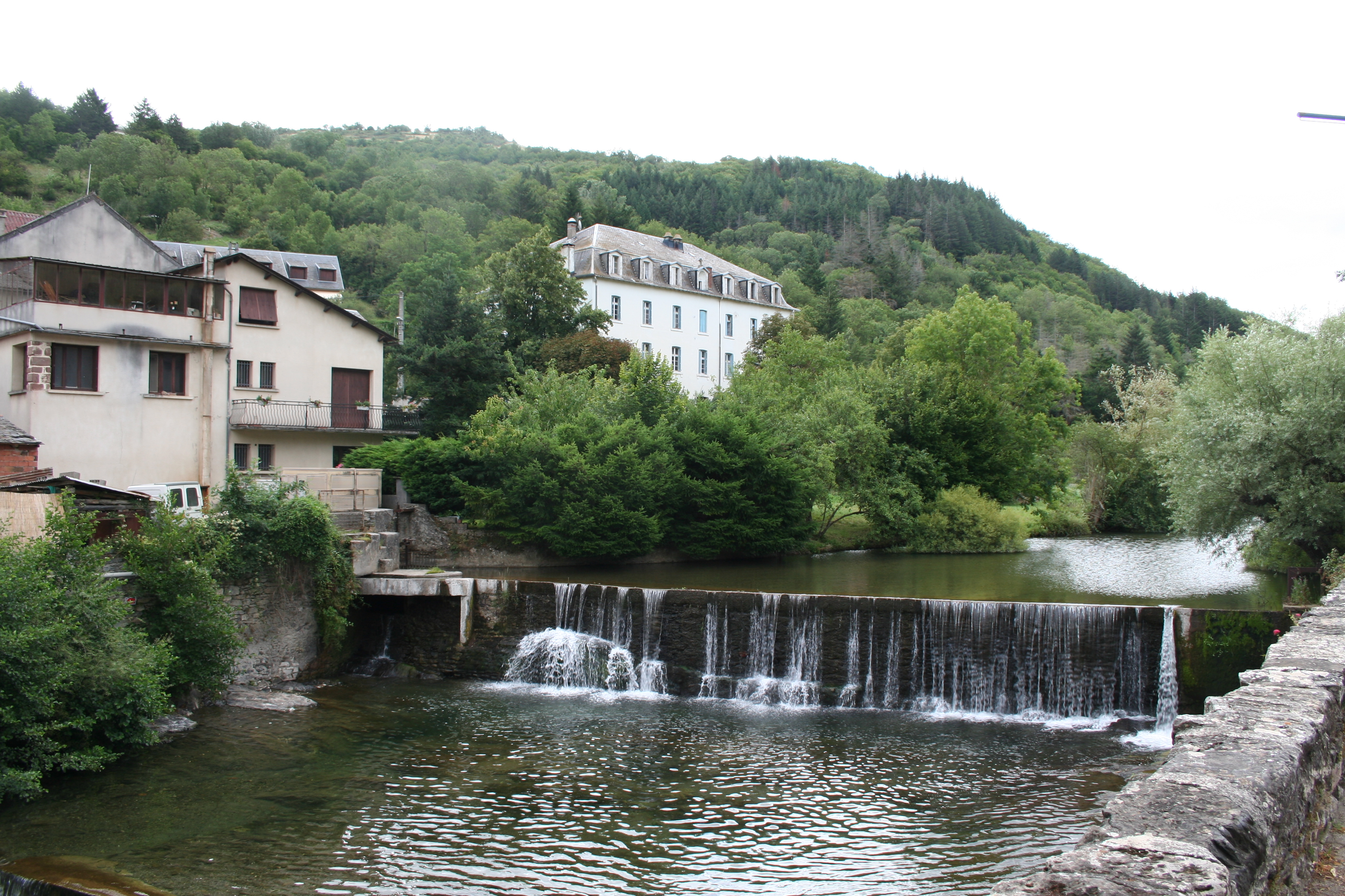
the Dourdou at Brusque.Origin in Murat-sur-Vèbre
43°39′19″N 02°54′30″E / 43.65528°N 2.90833°EMouth Tarn
43°59′47″N 02°41′05″E / 43.99639°N 2.68472°ECoordinates: 43°59′47″N 02°41′05″E / 43.99639°N 2.68472°EBasin countries France Length 86.9 km (54.0 mi) Source elevation 1,079 m (3,540 ft) Mouth elevation 245 m (804 ft) Avg. discharge 12.1 m3/s (430 cu ft/s) at mouth Basin area 658 km2 (254 sq mi) The Dourdou de Camarès is an 86.9 km (54.0 mi) long river in the Tarn, Hérault and Aveyron départements, southern France. Its source is in the Parc naturel régional du Haut-Languedoc, in the commune of Murat-sur-Vèbre, 5.5 km (3.4 mi) southeast of the village. It flows generally northwest. It is a left tributary of the Tarn into which it flows at Broquiès, 1.2 km (0.75 mi) southwest of the village.
Its main tributary is the Sorgues.
Départements and communes along its course
The following list is ordered from source to mouth :
- Tarn: Murat-sur-Vèbre
- Hérault: Castanet-le-Haut
- Aveyron: Arnac-sur-Dourdou, Brusque, Fayet, Sylvanès, Camarès, Montlaur, Vabres-l'Abbaye, Saint-Affrique, Calmels-et-le-Viala, Saint-Izaire, Broquiès
Notes
- This article is based on the equivalent article from the French Wikipedia, consulted on January 28th 2009.
References
Categories:- Rivers of France
- Garonne basin
- Aveyron geography stubs
- Tarn geography stubs
- Hérault geography stubs
Wikimedia Foundation. 2010.