- Tarn River
Infobox River | river_name = Tarn

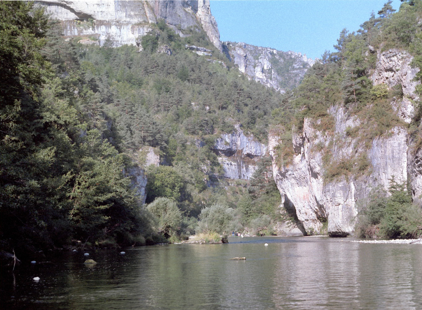
caption = High cliffs in the Gorges du Tarn.
origin =Cévennes
mouth =Garonne
coord|44|5|10|N|1|2|33|E|name=Garonne-Tarn|display=inline,title
basin_countries =France
length = 381 km
elevation = 1,550 m
discharge = 200 m³/s
watershed = 15,700 km²The Tarn River ("tarnis" in
Latin ; hypothetical meaning: "rapid" or "walled in") is a convert|381|km|mi longriver in southernFrance ("régions"Languedoc-Roussillon andMidi-Pyrénées ), righttributary of theGaronne .The Tarn River runs in a roughly
west erly direction, from its source at an altitude of 1,550 m onMont Lozère in theCévennes mountains (part of theMassif Central ), through the deepgorge s andcanyon s of theGorges du Tarn (that cuts through theCausse du Larzac ), toMoissac inTarn-et-Garonne , where it joins theGaronne River 4 km (2.5 miles) downstream the center of town.Its basin covers approximately 12,000 km², and it has a mean flow of approximately 140 m³ per
second .The
Millau Viaduct spans the valley of the River Tarn nearMillau , and is now one of the area's most popular attractions.Main Tributaries
The tributaries of the Tarn include:
*Agout (in Saint-Sulpice)
* Alrance
* Aveyron (nearMontauban )
* Cernon
*Dourbie (inMillau )
*Dourdou de Camarès
*Jonte (inLe Rozier )
*Lemboulas
*Lumensonesque
* Muze
*Rance
*Tarnon (inFlorac )
*Tescou The Tarn separates the
Narbonne andAquitaine basins.Departments and Cities
The Tarn passes through the following departments and towns:
*
Lozère :Le Pont-de-Montvert ,Sainte-Enimie
*Aveyron :Millau
*Tarn:Albi ,Gaillac ,Lisle-sur-Tarn ,Rabastens
*Haute-Garonne :Villemur-sur-Tarn
*Tarn-et-Garonne :Montauban ,Moissac .The
Millau Viaduct , the highest bridge in the world, carrying theA75 autoroute across the Tarn Gorge near Millau, opened inDecember 2004 .The Tarn River is famous for its brutal floodings, which are the most dangerous in Europe along with the
Danube River . The famous flooding of March1930 saw the Tarn rise more than 17 meters (56 ft) above its normal level inMontauban in just 24 hours, with a discharge of 7,000 m³/s (average discharge ofRhine River is 2,200 m³/s; average discharge of Nile River during the traditional annual flooding before the building of theAswan Dam was 8,500 m³/s; average discharge of theMississippi River is 16,200 m³/s). One third of theTarn-et-Garonne "département" was flooded, about 300 people died, thousands of houses were destroyed, the low districts of Montauban were destroyed, the town of Moissac was almost entirely destroyed.References
*http://www.geoportail.fr
* [http://sandre.eaufrance.fr/app/chainage/courdo/htm/O---0100.php?cg=O---0100 The Tarn at the Sandre database]External links
*http://www.mairie-albi.fr/eng/tourism/tarn.html
*http://www.euroriviere.com/info/tarna.html
Wikimedia Foundation. 2010.
