- Donken, Michigan
-
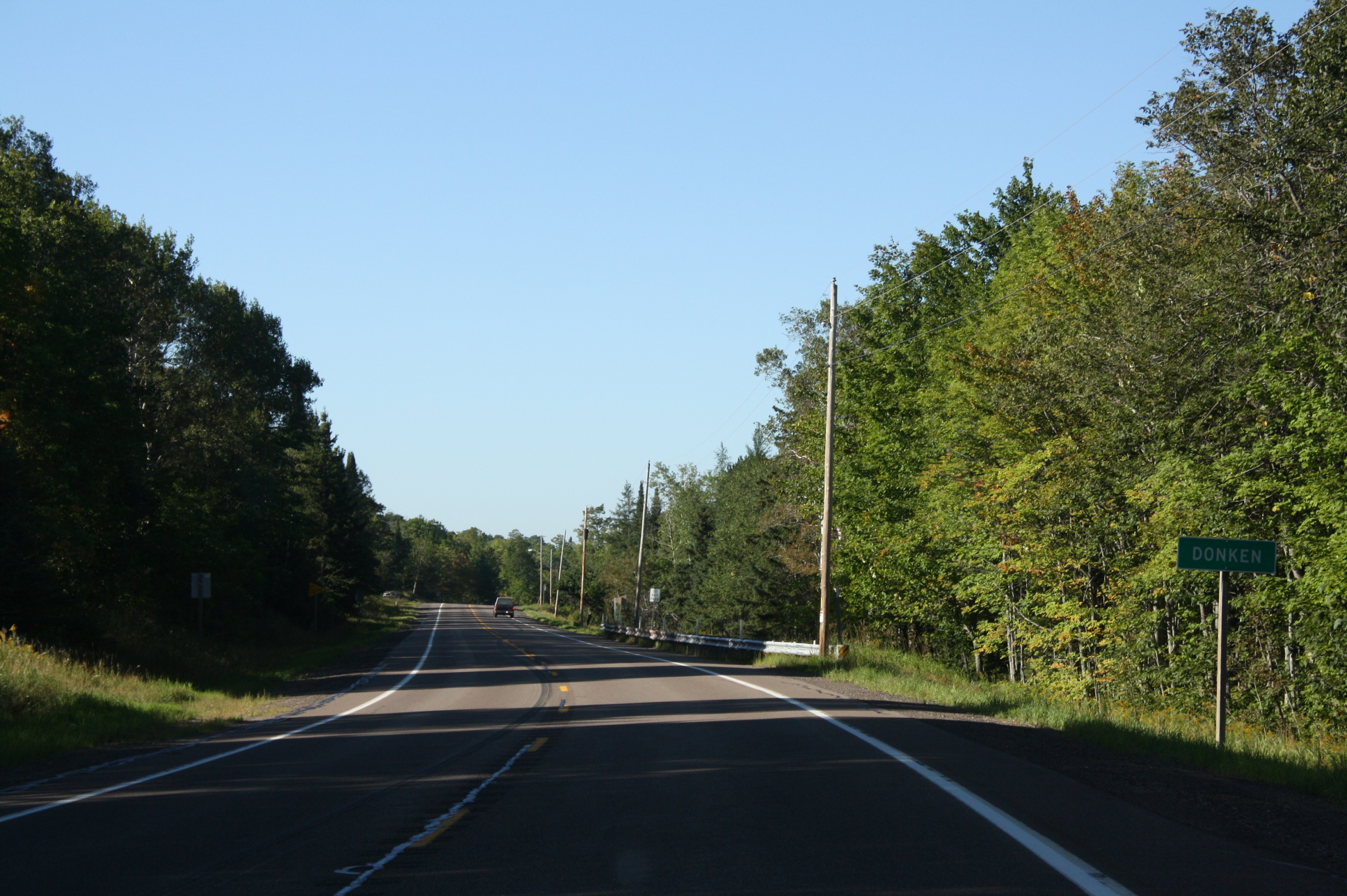
Donken, Michigan — Unincorporated community — Sign for Donken along M-26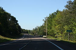

 Donken, Michigan
Coordinates: 46°56′30″N 88°47′40″W / 46.94167°N 88.79444°WCoordinates: 46°56′30″N 88°47′40″W / 46.94167°N 88.79444°W[1] Country United States State Michigan County Houghton Township Elm River Elevation[1] 1,299 ft (396 m) Time zone Eastern (EST) (UTC-5) – Summer (DST) EDT (UTC-4) Area code(s) 906 GNIS feature ID 624785[1] Donken is an unincorporated community in Houghton County, Michigan, United States. Donken is located in Elm River Township along M-26, 11.5 miles (18.5 km) southwest of South Range.[2]
History
The Case Lumber Company mill and general store were the first businesses in Donken, which the community was settled around. Earl J. Case, owner of the businesses, became the town's first postmaster on April 7, 1919. Donken was a station on the Copper Range Railroad.[3]
References
- ^ a b c U.S. Geological Survey Geographic Names Information System: Donken, Michigan
- ^ Michigan Department of Technology, Management and Budget (2010) (pdf). Houghton County (Map). http://www.michigan.gov/documents/CGI_COUNTY-v4_HOUGHTON_COUNTY_125212_7.pdf. Retrieved 2011-5-4.
- ^ Romig, Walter (1986) [1973]. Michigan Place Names. Detroit, Michigan: Wayne State University Press. ISBN 0-8143-1838-X.
Municipalities and communities of Houghton County, Michigan Cities 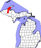
Villages Calumet | Copper City | Lake Linden | Laurium | South Range
Charter
townshipsGeneral law
townshipsUnincorporated
communitiesAlston | Atlantic Mine | Baltic | Chassell | Dakota Heights | Dodgeville | Dollar Bay | Donken | Dreamland | Franklin Mine | Freda | Hubbell | Hurontown | Jacobsville | Kenton | Klingville | Mason | Nisula | Painesdale | Portage Entry | Ripley | Seeberville | Senter | Sidnaw | Swedetown | Tapiola | Toivola | Winona
Categories:- Unincorporated communities in Houghton County, Michigan
- Michigan geography stubs


Wikimedia Foundation. 2010.