- Docking Shoal
-
Docking Shoal Wind Farm Location of Docking Shoal Wind Farm

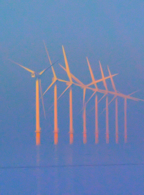
Country England, United Kingdom Location 14km off the coast of north Norfolk Coordinates 53°09′14″N 0°45′11″E / 53.154°N 0.753°ECoordinates: 53°09′14″N 0°45′11″E / 53.154°N 0.753°E Status Awaiting consent Developer(s) Centrica Power generation information Maximum capacity 540 MW Docking Shoal Wind Farm is a proposed offshore wind farm to be located 14km north of Wells-next-the-Sea off the coast of Norfolk, in the North Sea, England. It is being developed by Centrica.[1] The farm gets its name from a shallow bank or shoal off the north coast of Norfolk where water depths range from 3m to 14m. The farm will cover an area of approximately 75 sq km.
In 2004 Centrica was awarded a 50 year lease from The Crown Estate to develop a wind farm on Docking Shoal and another area nearby called Race Bank, as part of the second UK offshore wind farm tendering process known as "Round 2".[2]
The project includes constructing the wind turbines and their foundations, building offshore substations, installing power cables both undersea and onshore, as well as an extension to the existing onshore Electrical substation to transform the voltage so that it is suitable for connection into the UK National Grid. This work is estimated to take between 3 and 4 years.[3]
The wind farm planning consent was submitted in December 2008 and is awaiting approval.[4] The application is for between 83 and 177 turbines with a nameplate capacity of 540 MW.[5] The type and quantity of turbine will be determined during the detailed design phase which will occur after consent is granted.
Centrica is working with AMEC and the RES Group on this project.
Planning
References
Wind power in the United Kingdom Energy in the United Kingdom · Renewable energy in the United Kingdom Companies 
Onshore wind farms Arecleoch · Black Law · Braes of Doune · Cefn Croes · Clyde · Crystal Rig · Farr · Hadyard Hill · Scout Moor · Slieve Rushen · WhiteleeOffshore wind farms Barrow · Beatrice · Blyth · Burbo Bank · Gunfleet Sands · Kentish Flats · Lynn and Inner Dowsing · North Hoyle · Ormonde · Rhyl Flats · Robin Rigg · Scroby Sands · Thanet · Walney (phase 1)Turbine installation vessels Other  Category ·
  Commons
Electricity generation in the East of England Power stations ActiveElean · Tilbury B (co-fires) · WissingtonFuturePeterborough · Tilbury DocksActiveTilbury BClosedCliff Quay · Goldington · Great Yarmouth · Little Barford · Norwich · Peterborough · Rye House · Watford · West ThurrockProposedTilbury (clean coal)ActiveClosedLetchworthFutureKing's Lynn BFuturePeterboroughActiveSizwell BClosedBradwell · Sizewell AProposed/FutureSizwell CActiveTilbury B (co-fires)ClosedTilbury AActiveProposed/Future
Organisations Categories:- Wind farms in England
- Proposed wind farms in the United Kingdom
- Offshore wind farms in the North Sea
- North Sea energy
- Round 2 offshore wind farms
- Renewable energy stubs

Wikimedia Foundation. 2010.